
Les Claux circuit (no. 4)

Key facts
- Distance
- 5.1 km
- Ascent
- +104 m
- Descent
- −88 m
- Estimated time
- 30 min
- mtb
- Difficulty
- Very easy
- official rating
- Route
- Loop
- back to the start
Profile and gradient
- under 10%
- 10 to 20%
- over 20%
Gradient along the route: 4.8 km under 10% and 0.3 km at 10 to 20%. Elevation from 1,219 m to 1,284 m over 5.1 km.
Description
An easy circuit along narrow roads and forest tracks, starting from the family resort of Pelvoux-Vallouise. This easy route leads to the river Gyr, fed by glaciers, running alongside the snow front of the ski resort. You will climb up the right-hand bank of this water course to the gorges of the Gyr. Provided with a via ferrata, this rocky outcrop also looks over the museum of the Les Claux hydroelectric power station. The trail starts at the car park at the Pelvoux-Vallouise resort, heading left towards the snow front - Follow the narrow road due south; it runs through the bottom of the ski station to the holiday resort - Where the road turns into a forest track, carry on along this track which leads downhill to the river - At the bridge, stay on the right-hand bank and follow the river along the track leading due north - When you get back to the narrow road, continue straight on until you reach the starting point and then carry on, continuing to follow the right-hand bank of the Gyr - Before the bridge, turn left and then right and join the path with leads to the road and the gorges of the Gyr - After the tunnel, turn back on yourself and follow the same route back to your starting point
Difficulty
Official rating: very easy, by Parc national des Écrins.
Before you go
- Rescue services contact details: Secours Montagne(Mountain Rescue): +33 (0)4 92 22 22 22 or 112
- Take your litter home
- Do not take shortcuts across pastureland
Getting there
Start: Station de Pelvoux-Vallouise, Pelvoux, Vallouise-Pelvoux (05).
Sources
- Track: Parc national des Écrins, Licence Ouverte 2.0, Licence Ouverte 2.0 (Etalab) (destination.ecrins-parcnational.fr/trek/965927-VTT-N04---Circuit-des-Claux). Time estimated by GPX Path with the Mac app rule, breaks not included.
- Official elevation gain: 104 m, Parc national des Écrins
Nearby tracks
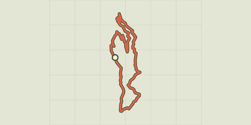
 © OpenStreetMap, SRTM · OpenTopoMap (CC-BY-SA)
Les Choulières circuit (no. 3)
Écrins, Vallouise-Pelvoux (05) · LoopOfficial rating by Parc national des Écrins © OpenStreetMap, SRTM · OpenTopoMap (CC-BY-SA)
The Onde circuit (no. 5)
Écrins, Vallouise-Pelvoux (05) · LoopOfficial rating by Parc national des Écrins © OpenStreetMap, SRTM · OpenTopoMap (CC-BY-SA)
The Puy Saint-Vincent green route ("Voie Verte")
Écrins, Puy-Saint-Vincent (05) · Out and backOfficial rating by Parc national des Écrins © OpenStreetMap, SRTM · OpenTopoMap (CC-BY-SA)
Narreyroux circuit (no. 13)
Écrins, Puy-Saint-Vincent (05) · LoopOfficial rating by Parc national des Écrins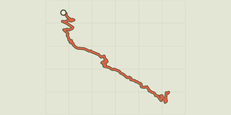 © OpenStreetMap, SRTM · OpenTopoMap (CC-BY-SA)
ENDURO N°01 - L'EndurOréac
Écrins, Puy-Saint-Vincent (05) · Point to pointOfficial rating by Parc national des Écrins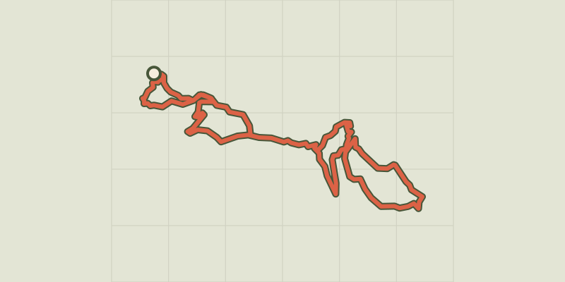 © OpenStreetMap, SRTM · OpenTopoMap (CC-BY-SA)
Les Grandes Têtes (no. 14)
Écrins, Puy-Saint-Vincent (05) · LoopOfficial rating by Parc national des Écrins