
Narreyroux circuit (no. 13)

Key facts
- Distance
- 15.9 km
- Ascent
- +559 m
- Descent
- −516 m
- Estimated time
- 2 hr 10
- mtb
- Difficulty
- Moderate
- official rating
- Route
- Loop
- back to the start
Profile and gradient
- under 10%
- 10 to 20%
- over 20%
Gradient along the route: 14.3 km under 10%, 1.2 km at 10 to 20% and 0.4 km over 20%. Elevation from 1,377 m to 1,785 m over 15.9 km.
Description
A peaceful walk in the heart of nature, with the added benefit of many stunning panoramic views. This intermediate circuit running through the municipality of Puy Saint-Vincent and its hamlets, takes you amidstnature and to remarkable locations such as the valley of Narreyroux. At the highest point of the circuit, you will also have the opportunity to admire the valley of Vallouise and several amazing peaks like Mont Pelvoux. The Narreyroux circuit starts at Les Prés at the 1400 resort roundabout, heading towards Le Villaret - At Le Villaret, take the track on the right towards Les Vigneaux via Combe Noire - At the end of the track, bear slightly right to start the climb up towards the plateau of La Pousterle via Via Novo - At the end of the track, join the road, still heading towards the Plateau de la Pousterle - At Le Prey d'Amont, turn right to leave the road and join a track - At the intersection of the tracks, turn left and then right 200 metres further on, heading towards the 1800 resort - At the 1800 resort, take the road downhill and, at the centre of the fifth hairpin, take a track that leads to Narreyroux - Go right to cross the bridge spanning the mountain stream and return to Narreyroux - At La Chapelle Notre Dame, turn right onto a path heading towards Le Puy (Caution: proceed slowly along this technical section) - At the end of the path at the Torrent de la Combe de Narreyroux mountain stream, cross the bridge to rejoin the road on the right. 500 metres further on, at the first hairpin, take a path running along the canal side - Cross the local road and then rejoin the canal path - At the end of the path, turn left towards the Croque Loisirs campsite. Go through the campsite and this brings you back to Les Prés and your starting point
Difficulty
Official rating: moderate, by Parc national des Écrins.
Before you go
- Rescue services contact details: Secours Montagne(Mountain Rescue): +33 (0)4 92 22 22 22 or 112
- Show consideration for the work of farmers, livestock keepers and owners
- Close all gates behind you
- Take your litter home
- Do not take shortcuts across pastureland
Getting there
Start: Parking des Sagnes à la station de 1400, Puy Saint Vincent, Puy-Saint-Vincent (05).
Sources
- Track: Parc national des Écrins, Licence Ouverte 2.0, Licence Ouverte 2.0 (Etalab) (destination.ecrins-parcnational.fr/trek/966624-VTT-N13---Circuit-de-Narreyroux). Time estimated by GPX Path with the Mac app rule, breaks not included.
- Official elevation gain: 559 m, Parc national des Écrins
Nearby tracks

 © OpenStreetMap, SRTM · OpenTopoMap (CC-BY-SA)
The Puy Saint-Vincent green route ("Voie Verte")
Écrins, Puy-Saint-Vincent (05) · Out and backOfficial rating by Parc national des Écrins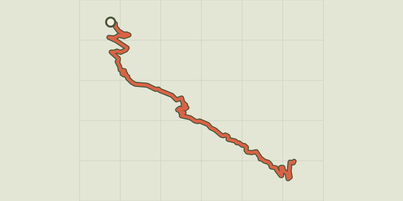 © OpenStreetMap, SRTM · OpenTopoMap (CC-BY-SA)
ENDURO N°01 - L'EndurOréac
Écrins, Puy-Saint-Vincent (05) · Point to pointOfficial rating by Parc national des Écrins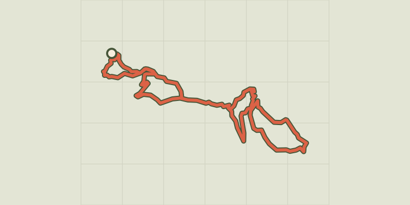 © OpenStreetMap, SRTM · OpenTopoMap (CC-BY-SA)
Les Grandes Têtes (no. 14)
Écrins, Puy-Saint-Vincent (05) · LoopOfficial rating by Parc national des Écrins © OpenStreetMap, SRTM · OpenTopoMap (CC-BY-SA)
The Onde circuit (no. 5)
Écrins, Vallouise-Pelvoux (05) · LoopOfficial rating by Parc national des Écrins © OpenStreetMap, SRTM · OpenTopoMap (CC-BY-SA)
Le Grand Parcher circuit (no. 6)
Écrins, Les Vigneaux (05) · LoopOfficial rating by Parc national des Écrins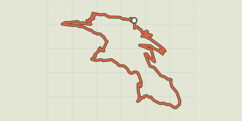 © OpenStreetMap, SRTM · OpenTopoMap (CC-BY-SA)
Col d’Anon, Col des Lauzes (no. 7)
Écrins, L'Argentière-la-Bessée (05) · LoopOfficial rating by Parc national des Écrins