
The Onde circuit (no. 5)
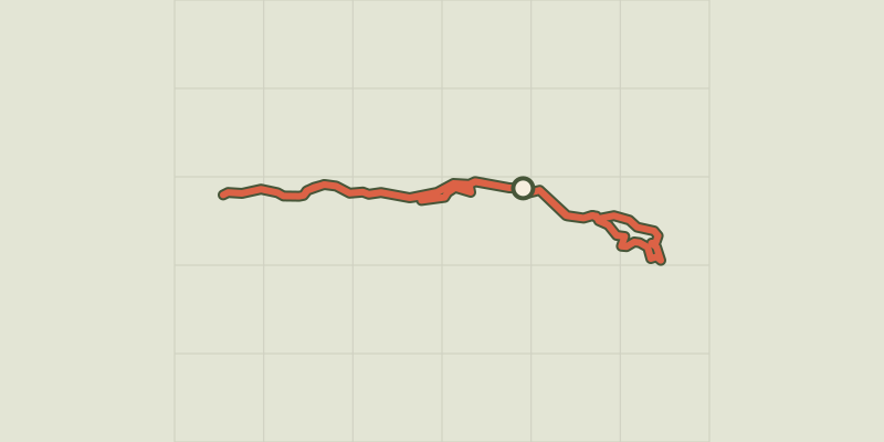
Key facts
- Distance
- 8.3 km
- Ascent
- +152 m
- Descent
- −121 m
- Estimated time
- 50 min
- mtb
- Difficulty
- Easy
- official rating
- Route
- Loop
- back to the start
Profile and gradient
- under 10%
- 10 to 20%
- over 20%
Gradient along the route: 8.3 km under 10%. Elevation from 1,145 m to 1,233 m over 8.3 km.
Description
A pleasant, welcoming circuit through forest and along the river bank. This circuit takes you along both banks of the Onde for almost its entire distance. So you will be accompanied by the sound of the blue-tinged waters rippling over the stones and can admire this mountain stream which is fed from numerous of the peaks overlooking the valley. Setting out from the Gérendoine bridge on the left-hand bank of the Onde, follow the track leading upstream. - Turn left to cross the Pont de Fontaines, and then right to take another track running along the Onde, but this time on the right-hand bank - Go right at the intersection at the Pont des Places at the entrance to the campsite, crossing the Onde and turning right again to join a paved road on the left-hand bank of the Onde - 250 metres after the bridge, turn right to leave the paved road and join a stony path - Turn right to cross the Pont de Fontaines again and then left towards the Cascade de la Pissette, on the right-hand bank of the Onde heading downstream - Bear left crossing the (unnamed) bridge to join the original track, heading towards Vallouise until you come to the Gérendoine bridge - Cross the bridge and then turn left onto a track running along the right-hand bank of the Onde - Leave the track and the Onde, turning right onto a new path. 200 metres further on, after crossing the local road, being very careful of the traffic - Before the house, turn right uphill to start the small tour - After the descent, take the track on the left to return to the path previously taken and your starting point
Difficulty
Official rating: easy, by Parc national des Écrins.
Before you go
- Rescue services contact details: Secours Montagne(Mountain Rescue): +33 (0)4 92 22 22 22 or 112
- Take your litter home
- Do not take shortcuts across pastureland
Getting there
Start: Pont de Gérendoine (côté rive gauche de l’Onde), Vallouise, Vallouise-Pelvoux (05).
Sources
- Track: Parc national des Écrins, Licence Ouverte 2.0, Licence Ouverte 2.0 (Etalab) (destination.ecrins-parcnational.fr/trek/965963-VTT-N05---Circuit-de-l-Onde). Time estimated by GPX Path with the Mac app rule, breaks not included.
- Official elevation gain: 152 m, Parc national des Écrins
Nearby tracks

 © OpenStreetMap, SRTM · OpenTopoMap (CC-BY-SA)
The Puy Saint-Vincent green route ("Voie Verte")
Écrins, Puy-Saint-Vincent (05) · Out and backOfficial rating by Parc national des Écrins © OpenStreetMap, SRTM · OpenTopoMap (CC-BY-SA)
Narreyroux circuit (no. 13)
Écrins, Puy-Saint-Vincent (05) · LoopOfficial rating by Parc national des Écrins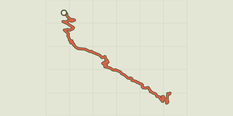 © OpenStreetMap, SRTM · OpenTopoMap (CC-BY-SA)
ENDURO N°01 - L'EndurOréac
Écrins, Puy-Saint-Vincent (05) · Point to pointOfficial rating by Parc national des Écrins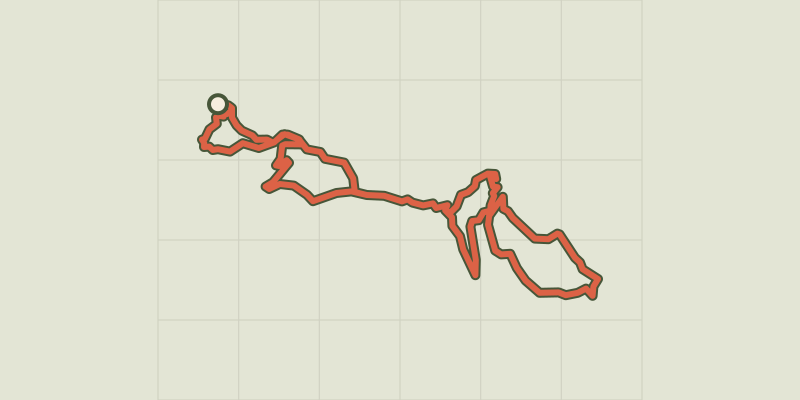 © OpenStreetMap, SRTM · OpenTopoMap (CC-BY-SA)
Les Grandes Têtes (no. 14)
Écrins, Puy-Saint-Vincent (05) · LoopOfficial rating by Parc national des Écrins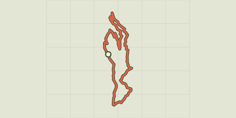 © OpenStreetMap, SRTM · OpenTopoMap (CC-BY-SA)
Les Choulières circuit (no. 3)
Écrins, Vallouise-Pelvoux (05) · LoopOfficial rating by Parc national des Écrins © OpenStreetMap, SRTM · OpenTopoMap (CC-BY-SA)
Les Claux circuit (no. 4)
Écrins, Vallouise-Pelvoux (05) · LoopOfficial rating by Parc national des Écrins