
Les Eygoires to Pierre Arnoux

Key facts
- Distance
- 8.0 km
- Ascent
- +512 m
- Descent
- −504 m
- Estimated time
- 3 hr 05
- hiking
- Difficulty
- Moderate
- official rating
- Route
- Loop
- back to the start
Profile and gradient
- under 10%
- 10 to 20%
- over 20%
Gradient along the route: 2.6 km under 10%, 4.0 km at 10 to 20% and 1.4 km over 20%. Elevation from 792 m to 1,301 m over 8.0 km.
Description
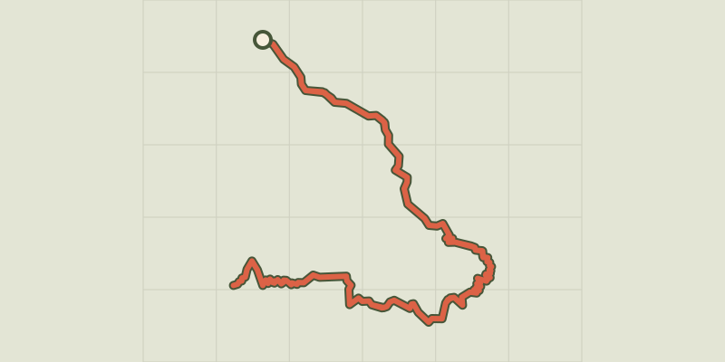
A world apart is waiting to be discovered in the shadows of the forest. Travel through it to discover the riches it has to offer. There is a water point at the picnic area of Pierre-Arnoux. The refuge at Pierre Arnoux can be used as a shelter as it is always accessible. From the car park, take the track opposite which leads into the forest. After a few metres, take the path on the left. At the next intersection, head right towards Pierre Arnoux. At the next intersection, go straight ahead. Turn left onto the forest road ("La route forestière") and a few metres further down, take the path on the right (1). Follow the GRP (regional long-distance trail) route and then at the next intersection take the track on the right. You return to the forest track and turn right. A short distance further up, take the path on the left. Continue through the forest and when you come to the track again, go right and then take the path opposite (there-and-back walk to the spring). When you come to the top of the clearing, you have reached Pierre Arnoux. Make a there-and-back detour to the belvedere by going to the left of the mountain refuge. Back at the refuge, go along the silver birch walk to return to the car park. Then, turn left at the place called « l'Empouyère » (2) When you come to the spring, take the downhill track on the left (3). At the forested track in the forest of the district of Savines-le-Lac, cross the track and continue straight ahead. Cross the track again and go straight ahead. At the next intersection, when you come to the fitness trail amenities, turn right. (4) Then take the wooden walkway on the left. Go past the water storage facility and the aqueduct. Immediately after this, take the path on the left which follows the water course. When you reach the Savines-le-Lac road, go left. Follow the path that runs along the right-hand side of the road for 1 kilometre, which brings you back to the car park.
Difficulty
Official rating: moderate, by Parc national des Écrins.
Getting there
Start: Les Eygoires, Savines-le-Lac (05).
Sources
- Track: Parc national des Écrins, Licence Ouverte 2.0, Licence Ouverte 2.0 (Etalab) (destination.ecrins-parcnational.fr/trek/974501-Des-Eygoires-a-Pierre-Arnoux). Time estimated by GPX Path with the Mac app rule, breaks not included.
- Official elevation gain: 512 m, Parc national des Écrins
Nearby tracks
 © OpenStreetMap, SRTM · OpenTopoMap (CC-BY-SA)
Le Pic de Morgon via Pierre Arnoux
Écrins, Savines-le-Lac (05) · Out and backOfficial rating by Parc national des Écrins © OpenStreetMap, SRTM · OpenTopoMap (CC-BY-SA)
The Pic de Morgon
Écrins, Crots (05) · LoopOfficial rating by Parc national des Écrins © OpenStreetMap, SRTM · OpenTopoMap (CC-BY-SA)
Muande de Bonnabelle
Écrins, Puy-Sanières (05) · LoopOfficial rating by Parc national des Écrins © OpenStreetMap, SRTM · OpenTopoMap (CC-BY-SA)
Sentier de l'Abbaye
Écrins, Crots (05) · Out and backOfficial rating by Parc national des Écrins © OpenStreetMap, SRTM · OpenTopoMap (CC-BY-SA)
Les terrassettes
Écrins, Crots (05) · Out and backOfficial rating by Parc national des Écrins © OpenStreetMap, SRTM · OpenTopoMap (CC-BY-SA)
The Cabane de Joubelle
Écrins, Saint-Apollinaire (05) · Out and backOfficial rating by Parc national des Écrins