
Maou Riou

Key facts
- Distance
- 2.1 km
- Ascent
- +86 m
- Descent
- −72 m
- Estimated time
- 40 min
- hiking
- Difficulty
- Very easy
- official rating
- Route
- Loop
- back to the start
Profile and gradient
- under 10%
- 10 to 20%
- over 20%
Gradient along the route: 1.6 km under 10% and 0.5 km at 10 to 20%. Elevation from 1,364 m to 1,442 m over 2.1 km.
Description
This flower-filled family excursion introduces you to a variety of farming features from a bygone time. Setting out from the village of Réallon, lying in a mid-mountain area, roam the pastured mountainsides. This itinerary will plunge you into a pastoral environment, taking you though large agricultural terraces on a par with the most beautiful landscapes in Serre-Ponçon. As you round a bend, you will come across the mountain stream of Maou Riou before heading back in the extensive meadows. - From the car park, cross the bridge and at the next crossroads take the road to the left. Go past the houses and on to the end of the road. - At the very end, take the path opposite. After passing the Maou Riou mountain stream, head down into the woods following the stream. - Carry on downhill and then at the next intersection, go right onto the GR path. - When you come to the road, turn right. When you reach the car park in « Charrière de la pisse », take the road on the right towards the church of St-Pélade. This will bring you back to the car park in La Coste.
Difficulty
Official rating: very easy, by Parc national des Écrins.
Getting there
Start: Réallon, Réallon (05).
Sources
- Track: Parc national des Écrins, Licence Ouverte 2.0, Licence Ouverte 2.0 (Etalab) (destination.ecrins-parcnational.fr/trek/974478-Sentier-Patrimonial-des-Terrasses). Time estimated by GPX Path with the Mac app rule, breaks not included.
- Official elevation gain: 86 m, Parc national des Écrins
Nearby tracks

 © OpenStreetMap, SRTM · OpenTopoMap (CC-BY-SA)
Réallon Fort
Écrins, Réallon (05) · Out and backOfficial rating by Parc national des Écrins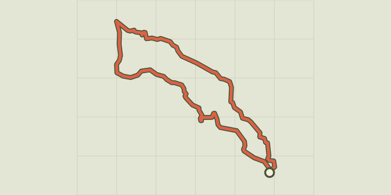 © OpenStreetMap, SRTM · OpenTopoMap (CC-BY-SA)
The hamlet of Vaucluse
Écrins, Réallon (05) · LoopOfficial rating by Parc national des Écrins © OpenStreetMap, SRTM · OpenTopoMap (CC-BY-SA)
Hamlet of Gourniers
Écrins, Réallon (05) · Point to pointOfficial rating by Parc national des Écrins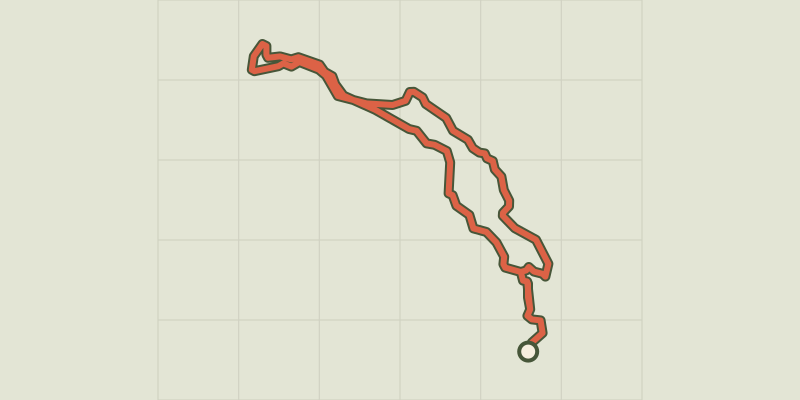 © OpenStreetMap, SRTM · OpenTopoMap (CC-BY-SA)
Le Peuple des Oiseaux
Écrins, Réallon (05) · LoopOfficial rating by Parc national des Écrins © OpenStreetMap, SRTM · OpenTopoMap (CC-BY-SA)
Serre du Mouton
Écrins, Réallon (05) · Out and backOfficial rating by Parc national des Écrins © OpenStreetMap, SRTM · OpenTopoMap (CC-BY-SA)
Les Aiguilles de Chabrières
Écrins, Réallon (05) · LoopOfficial rating by Parc national des Écrins