
Réallon Fort

Key facts
- Distance
- 2.3 km
- Ascent
- +175 m
- Descent
- −170 m
- Estimated time
- 1 hr
- hiking
- Difficulty
- Very easy
- official rating
- Route
- Out and back
- same way back
Profile and gradient
- under 10%
- 10 to 20%
- over 20%
Gradient along the route: 0.4 km under 10%, 1.6 km at 10 to 20% and 0.3 km over 20%. Elevation from 1,413 m to 1,583 m over 2.3 km.
Description
A small climb above a picturesque village... From one bend to another the panorama is more and more stunning until you arrive unexpectedly on a plateau. Arriving at the Fort, what a pleasure it is to come out on to a vast plateau of meadows. The panorama, from Barle summit along to Serre Ponçon lake, is magnificent. The North is dominated by a, summit with steep dry slopes: this is the Roche Méane which reaches an altitude of 2650 m ! From the carpark, start by following the Pisse torrent, channeled at the bottom by a dam which protects Réallon village. On the left, look out for the remains of the low dry stones walls which bear witness to ancient agricultural terraces. Then follow to the left taking a bending path that crosses a small forest of oaks and pines.
Difficulty
Official rating: very easy, by Parc national des Écrins.
Before you go
- Each summer season, as in many pastures in the community, flocks of sheep come to graze. Keep your dog on a lead. NB. At the Fort, two reading tables will provide you with more information about the site.
Getting there
Start: Réallon, Réallon (05).
Sources
- Track: Parc national des Écrins, Licence Ouverte 2.0, Licence Ouverte 2.0 (Etalab) (destination.ecrins-parcnational.fr/trek/920163-Fort-de-Reallon). Time estimated by GPX Path with the Mac app rule, breaks not included.
- Official elevation gain: 175 m, Parc national des Écrins
Nearby tracks

 © OpenStreetMap, SRTM · OpenTopoMap (CC-BY-SA)
Maou Riou
Écrins, Réallon (05) · LoopOfficial rating by Parc national des Écrins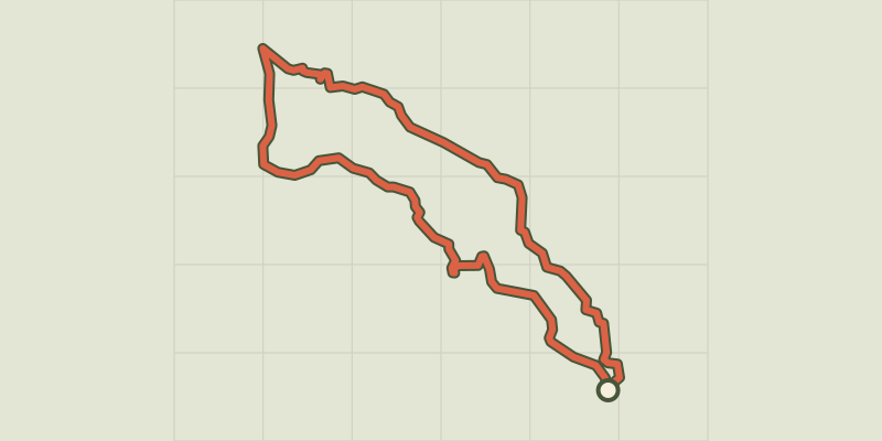 © OpenStreetMap, SRTM · OpenTopoMap (CC-BY-SA)
The hamlet of Vaucluse
Écrins, Réallon (05) · LoopOfficial rating by Parc national des Écrins © OpenStreetMap, SRTM · OpenTopoMap (CC-BY-SA)
Hamlet of Gourniers
Écrins, Réallon (05) · Point to pointOfficial rating by Parc national des Écrins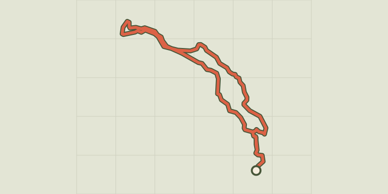 © OpenStreetMap, SRTM · OpenTopoMap (CC-BY-SA)
Le Peuple des Oiseaux
Écrins, Réallon (05) · LoopOfficial rating by Parc national des Écrins © OpenStreetMap, SRTM · OpenTopoMap (CC-BY-SA)
Col de Reyssas
Écrins, Réallon (05) · Out and backOfficial rating by Parc national des Écrins © OpenStreetMap, SRTM · OpenTopoMap (CC-BY-SA)
Serre du Mouton
Écrins, Réallon (05) · Out and backOfficial rating by Parc national des Écrins