
RANDOLAND: Freissinières

Key facts
- Distance
- 1.9 km
- Ascent
- +54 m
- Descent
- −47 m
- Estimated time
- 30 min
- hiking
- Difficulty
- Very easy
- official rating
- Route
- Loop
- back to the start
Profile and gradient
- under 10%
- 10 to 20%
- over 20%
Gradient along the route: 1.7 km under 10% and 0.2 km at 10 to 20%. Elevation from 1,158 m to 1,211 m over 1.9 km.
Description
A heritage tour and treasure hunt in the unspoilt valley of Freissinières church, communal oven, water fountains This tour is the perfect opportunity to explore the territory and history of Freissinières, while enjoying exceptional natural scenery. Pick up a Randoland clue sheet to answer the riddles and observe the heritage features along the way . The route starts at the Place du Souvenir, near the church of Saint Marie-Madeleine. First, take a look at the war memorial and water fountain on the square, for the answer to the first riddle. Go downhill to the church of Sainte Marie-Madeleine and then back to the Place du Souvenir. - After the water fountain, turn left and continue straight on to the next water fountain opposite the Relais des Vaudois hotel. Go into the car park. - Head down to the left towards the Chemin d'Alfred, but do not follow it. Cross the stream La Petite Beyère and go along the fence. Cross the irrigation canal (Grande Beyère). - Turn left. Follow the canal side until you come to the water fountain. The mill is opposite. You might find it helpful to look inside through the back window. Then go across the central reservation to look at the communal oven. - Go to the right of the oven and go upstream following the bank of the small stream. Continue on the raised path towards the Biaysse river and turn left to read the "La maison engloutie" panel, about a sunken house, on the Chemin d'Alfred. Continue to follow the river until you come to the next small water course, the Jaimes, which you follow upstream. Cross over the first bridge, heading towards some garages and carry on up towards the Valley Centre ("Maison de la Vallée"). - Opposite the Valley Centre, go right. Carry on until you come to the crossroads and turn left into Les Meyries. Carry on up the road (or alternatively you can take the narrow path running uphill on the left, between the stream and the waste bin shelter). Further up, just before Ville, at the intersection between the path and the road, keep an eye out for the wooden wayside cross. Carry on uphill back to the starting point of the trail.
Difficulty
Official rating: very easy, by Parc national des Écrins.
Before you go
- To download the Randoland clue sheets, visit the Office de Tourisme Intercommunal du Pays des Écrins website.
- Check weather conditions before setting off.
- Rescue services contact details: Secours Montagne (Mountain Rescue): +33 (0)4 92 22 22 22 or 112
- Show consideration for the work of farmers, livestock keepers and owners
- Close all gates behind you
- Take your litter home
- Do not take shortcuts across pastureland
Getting there
Start: Place du Souvenir, Ville, Freissinières, Freissinières (05).
Sources
- Track: Parc national des Écrins, Licence Ouverte 2.0, Licence Ouverte 2.0 (Etalab) (destination.ecrins-parcnational.fr/trek/962778-RANDOLAND-%3A-Freissinieres). Time estimated by GPX Path with the Mac app rule, breaks not included.
- Official elevation gain: 54 m, Parc national des Écrins
Nearby tracks
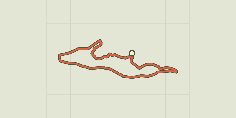
 © OpenStreetMap, SRTM · OpenTopoMap (CC-BY-SA)
THEMED PATH: Mr Alfred's wood
Écrins, Freissinières (05) · LoopOfficial rating by Parc national des Écrins © OpenStreetMap, SRTM · OpenTopoMap (CC-BY-SA)
Le circuit de Clot Laffont
Écrins, Champcella (05) · LoopOfficial rating by Parc national des Écrins © OpenStreetMap, SRTM · OpenTopoMap (CC-BY-SA)
THEMED PATH: The precipice path
Écrins, Champcella (05) · LoopOfficial rating by Parc national des Écrins © OpenStreetMap, SRTM · OpenTopoMap (CC-BY-SA)
RANDOLAND: L’Argentière-la-Bessée
Écrins, L'Argentière-la-Bessée (05) · LoopOfficial rating by Parc national des Écrins © OpenStreetMap, SRTM · OpenTopoMap (CC-BY-SA)
RANDOLAND : Champcella
Écrins, Champcella (05) · LoopOfficial rating by Parc national des Écrins © OpenStreetMap, SRTM · OpenTopoMap (CC-BY-SA)
Du train au glacier Blanc en 3 jours (sans voiture)
Écrins, L'Argentière-la-Bessée (05) · Point to pointOfficial rating by Parc national des Écrins