
THEMED PATH: Mr Alfred's wood
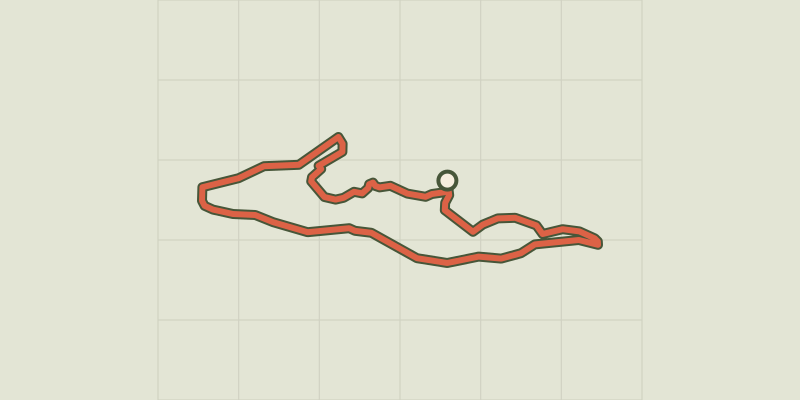
Key facts
- Distance
- 2.4 km
- Ascent
- +50 m
- Descent
- −38 m
- Estimated time
- 35 min
- hiking
- Difficulty
- Very easy
- official rating
- Route
- Loop
- back to the start
Profile and gradient
- under 10%
- 10 to 20%
- over 20%
Gradient along the route: 2.3 km under 10% and 0.1 km at 10 to 20%. Elevation from 1,155 m to 1,200 m over 2.4 km.
Description
A pleasant and fun outing through forest and along the river bank. The nine stopping points along the route draw you into the poetic and magical world of Alfred and prompt the creation of a thousand and one objects using natural elements. A way of entering the no-less magical world of the forest Opposite the Valley Centre ("Maison de la Vallée"), follow the waysigns for the "Sentier d'Alfred". The pathway first drops down into meadows surrounded by groves of trees, until it comes to the Biaysse, which you cross via a bridge. - After the bridge, keep left on this pathway. - Turn right onto a track. It rises gently up to a bridge, the Pont de l'Église, which takes you back across the Biaysse. Then, follow the road which drops back down towards Le Ribes (Freissinières). - At the car park just outside the village, don't miss the path on the right: near the cross at the bottom of the car park, you need to go down a set of steps and turn right to drop down to the river. Then, follow a former dyke built on a stone foundation to return to your starting point.
Difficulty
Official rating: very easy, by Parc national des Écrins.
Before you go
- A walk through level terrain, accessible even for very young children.
- Information panels are installed all along the path
- Check weather conditions before setting off.
- Rescue services contact details: Secours Montagne (Mountain Rescue): +33 (0)4 92 22 22 22 or 112
- Show consideration for the work of farmers, livestock keepers and owners
- Close all gates behind you
- Take your litter home
- Do not take shortcuts across pastureland
Getting there
Start: Maison de la Vallée, Freissinières, Freissinières (05).
Sources
- Track: Parc national des Écrins, Licence Ouverte 2.0, Licence Ouverte 2.0 (Etalab) (destination.ecrins-parcnational.fr/trek/960382-SENTIER-THEMATIQUE-%3A-Le-Bois-de-Monsieur-Alfred). Time estimated by GPX Path with the Mac app rule, breaks not included.
- Official elevation gain: 50 m, Parc national des Écrins
Nearby tracks
 © OpenStreetMap, SRTM · OpenTopoMap (CC-BY-SA)
RANDOLAND: Freissinières
Écrins, Freissinières (05) · LoopOfficial rating by Parc national des Écrins © OpenStreetMap, SRTM · OpenTopoMap (CC-BY-SA)
Le circuit de Clot Laffont
Écrins, Champcella (05) · LoopOfficial rating by Parc national des Écrins © OpenStreetMap, SRTM · OpenTopoMap (CC-BY-SA)
THEMED PATH: The precipice path
Écrins, Champcella (05) · LoopOfficial rating by Parc national des Écrins © OpenStreetMap, SRTM · OpenTopoMap (CC-BY-SA)
RANDOLAND: L’Argentière-la-Bessée
Écrins, L'Argentière-la-Bessée (05) · LoopOfficial rating by Parc national des Écrins © OpenStreetMap, SRTM · OpenTopoMap (CC-BY-SA)
RANDOLAND : Champcella
Écrins, Champcella (05) · LoopOfficial rating by Parc national des Écrins © OpenStreetMap, SRTM · OpenTopoMap (CC-BY-SA)
Du train au glacier Blanc en 3 jours (sans voiture)
Écrins, L'Argentière-la-Bessée (05) · Point to pointOfficial rating by Parc national des Écrins