
The Bois de Parapin (trail route no. 1)

Key facts
- Distance
- 6.2 km
- Ascent
- +203 m
- Descent
- −184 m
- Estimated time
- 50 min
- trail running
- Difficulty
- Very easy
- official rating
- Route
- Loop
- back to the start
Profile and gradient
- under 10%
- 10 to 20%
- over 20%
Gradient along the route: 4.3 km under 10% and 1.9 km at 10 to 20%. Elevation from 1,083 m to 1,263 m over 6.2 km.
Description
Taking you through the village of Les Vigneaux as well as the hamlet of Grand Parcher, this trail offers a pretty setting for a walk that leads partly along the valley bottom, partly on the south-facing slopes. “We rise gently uphill along the valley bottom, which is quite wide at this level, with vast wide-open views of the peaks. Then the valley narrows, we approach the Gyronde and here we are at the bottom end of the hamlet of Grand Parcher!” Marie-Geneviève Nicolas, park ranger at the Parc National des Écrins Follow the track that runs through the Le Courounba campsite and then rises gently uphill along the valley bottom, along the meadow's edge. The track runs close to the Gyronde, ovelooking it. - Cross the river via the bridge, turn left onto the road to Vallouise and then immediately take the track on the right which leads directly uphill to the village of Parcher. - A short distance above the chapel, take the path on the right towards Les Vigneaux. This will join a forest track. - At an intersection above the village, follow the track to the right; it drops down to the top end of the village. Carry straight on along a track and then a narrow road which follows the right-hand bank of a mountain stream, the Torrent du Rif, leading to the bottom end of the village and the road to Vallouise. - Turn right; you soon come to Le Pont du Rif. You then cross the Gyronde which brings you back to the campsite.
Difficulty
Official rating: very easy, by Parc national des Écrins.
Before you go
- Before setting off, it is very important to check the opening periods for this route on the website: https://stationdetrail.com/fr/stations/le-pays-des-ecrins/parcours
- Share your photographs on social networks with #stationdetrailecrins
- Check weather conditions before setting off.
- Rescue services contact details: Secours Montagne (Mountain Rescue): +33 (0)4 92 22 22 22 or 112
- Show consideration for the work of farmers, livestock keepers and owners
- Close all gates behind you
- Take your litter home
- Do not take shortcuts across pastureland
- The trail routes are also suitable for walking
Getting there
Start: Parking pont du Rif, Les Vigneaux, Les Vigneaux (05).
Sources
- Track: Parc national des Écrins, Licence Ouverte 2.0, Licence Ouverte 2.0 (Etalab) (destination.ecrins-parcnational.fr/trek/958602-Trail-N01---Le-Bois-de-Parapin). Time estimated by GPX Path with the Mac app rule, breaks not included.
- Official elevation gain: 203 m, Parc national des Écrins
Nearby tracks
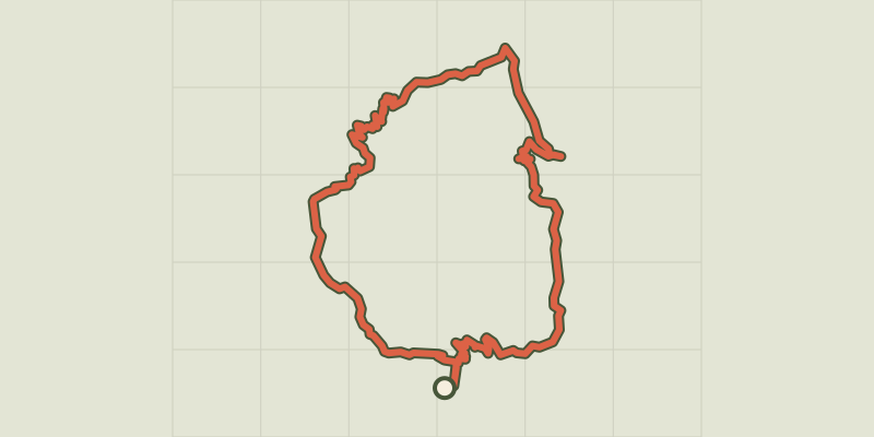
 Plan IGN © IGN 2026
The Montbrison tour (trail route no. 13)
Écrins, Les Vigneaux (05) · LoopOfficial rating by Parc national des Écrins Plan IGN © IGN 2026
The Collet de la Salcette (trail route no. 10)
Écrins, Les Vigneaux (05) · LoopOfficial rating by Parc national des Écrins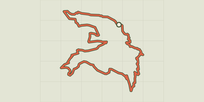 Plan IGN © IGN 2026
The Col de la Pousterle (trail route no. 5)
Écrins, Les Vigneaux (05) · LoopOfficial rating by Parc national des Écrins Plan IGN © IGN 2026
Trail N°24 - Le circuit du Béal
Écrins, Puy-Saint-Vincent (05) · LoopOfficial rating by Parc national des Écrins Plan IGN © IGN 2026
Trail N°09 - Bois de France
Écrins, L'Argentière-la-Bessée (05) · LoopOfficial rating by Parc national des Écrins Plan IGN © IGN 2026
Trail N°25 - D'Oréac à Narreyroux
Écrins, Puy-Saint-Vincent (05) · LoopOfficial rating by Parc national des Écrins