
Ansouis, between alleys and cobblestone streets
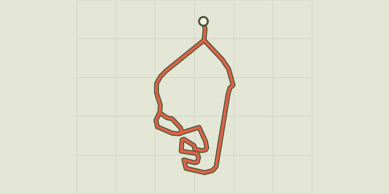
Key facts
- Distance
- 1.2 km
- Ascent
- +26 m
- Descent
- −18 m
- Estimated time
- 20 min
- hiking
- Difficulty
- Very easy
- official rating
- Route
- Loop
- back to the start
Profile and gradient
- under 10%
- 10 to 20%
- over 20%
Gradient along the route: 1.2 km under 10%. Elevation from 255 m to 274 m over 1.2 km.
Description
A walk in the heart of one of the most beautiful villages in France to soak up the atmosphere of Provence and take a trip back in time. "I love this hilltop village! Ansouis offers a true Provençal setting. Open your eyes and wander its streets to discover its heritage revealing imprints of the past. Visit the craftsmen: Art jewelry, santon-makers, ceramicists and painters. But do not forget to have coffee in the shade of plane trees in the Place des Hôtes, a typical small village square! " says Séverine Besson, Task Officer for the Valuation of assets at the south side Luberon Tourist Office. With your back to the tourist office, pass the Place de la Vieille Fontaine, cross the road and go up the Rue de France. At the first intersection take the Grande Rue to the left and follow it. 1- At the castle square, turn left and reach the church's forecourt. Go back your steps until the castle square (point 1). Turn left onto the Rue du Cartel. Turn once right on Rue des Remparts, then leave the stairs behind and go down to the left to turn right on the Rue du Grand Four. Continue through the arch to reach the castle square. Go down to the left and reach the Rue du Petit Portail. 2- Continue to the left on 30m and rush right into the Rue du Buis. Continue right and then turn left after the Esquicho-couido connecting path to reach the Rue Basse. 3- Turn left. At the fountain, continue left. Pass through the Colombier connecting path, then the Place des Hôtes and reach the Place Saint-Elzéar. 4- Drive down the Boulevard des Platanes. At the roundabout take a left, go under the porch and take a right to reach the Place de la Vieille Fontaine and the Tourist Office.
Difficulty
Official rating: very easy, by Parcs naturels régionaux de Provence-Alpes-Côte d'Azur.
Before you go
- Be careful crossing the road at the start and along the road to return.
Getting there
Start: Place de la Vieille Fontaine (pied nord du village), Ansouis, Ansouis (84).
Sources
- Track: Parcs naturels régionaux de Provence-Alpes-Côte d'Azur (Chemins des Parcs), Licence Ouverte 2.0, Licence Ouverte 2.0 (Etalab) (www.cheminsdesparcs.fr/trek/55730-ANSOUIS---Entre-ruelles-et-calades). Time estimated by GPX Path with the Mac app rule, breaks not included.
- Official elevation gain: 26 m, Parcs naturels régionaux de Provence-Alpes-Côte d'Azur
Nearby tracks
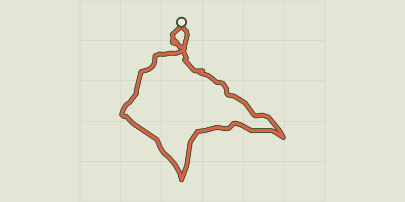
 © OpenStreetMap, SRTM · OpenTopoMap (CC-BY-SA)
Landscapes of Ansouis
Luberon, Ansouis (84) · LoopOfficial rating by Parcs naturels régionaux de Provence-Alpes-Côte d'Azur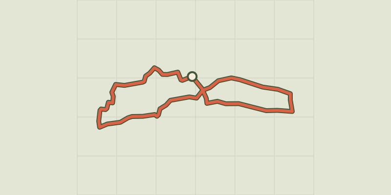 © OpenStreetMap, SRTM · OpenTopoMap (CC-BY-SA)
Cucuron Wine Trail
Luberon, Cucuron (84) · LoopOfficial rating by Parcs naturels régionaux de Provence-Alpes-Côte d'Azur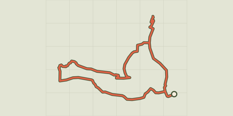 © OpenStreetMap, SRTM · OpenTopoMap (CC-BY-SA)
Cucuron-Vaugines - Chemin de pelerinage
Luberon, Cucuron (84) · LoopOfficial rating by Parcs naturels régionaux de Provence-Alpes-Côte d'Azur © OpenStreetMap, SRTM · OpenTopoMap (CC-BY-SA)
Le Mourre Nègre, southern side
Luberon, Cabrières-d'Aigues (84) · LoopOfficial rating by Parcs naturels régionaux de Provence-Alpes-Côte d'Azur © OpenStreetMap, SRTM · OpenTopoMap (CC-BY-SA)
Geological trail
Luberon, Cabrières-d'Aigues (84) · LoopOfficial rating by Parcs naturels régionaux de Provence-Alpes-Côte d'Azur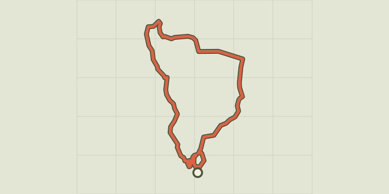 © OpenStreetMap, SRTM · OpenTopoMap (CC-BY-SA)
Cadenet - LOURMARIN - D'un château à l'autre
Luberon, Cadenet (84) · LoopOfficial rating by Parcs naturels régionaux de Provence-Alpes-Côte d'Azur