
Le Mourre Nègre, southern side
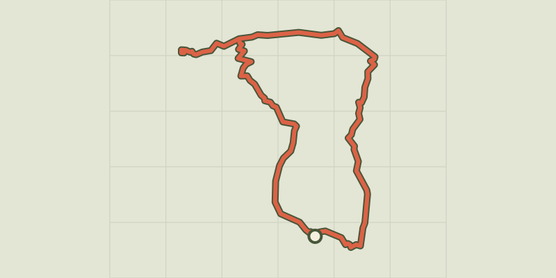
Key facts
- Distance
- 16.2 km
- Ascent
- +888 m
- Descent
- −833 m
- Estimated time
- 5 hr 25
- hiking
- Difficulty
- Difficult
- official rating
- Route
- Loop
- back to the start
Profile and gradient
- under 10%
- 10 to 20%
- over 20%
Gradient along the route: 11.3 km under 10%, 2.8 km at 10 to 20% and 2.0 km over 20%. Elevation from 397 m to 1,121 m over 16.2 km.
Description
Ascension is athletic but quite rewarding once on the ridges.! From up there, you will see why the Luberon is 'Big'... « At the bend of the path, after a sharp turn, short of breath, I found myself face to face with a herd of ewes.! I let them quietly go their way towards their sheep pen and I resumed the ascension of a Mourre Nègre playing hard to get… Once at the top, what a reward.! The Alps, the Mont Ventoux, the perched villages and in the distance, even the Mediterranean Sea.! On these ridges, you may no longer know which way to look ! » Marie Grenouilleau, trainee, a master 2 student at the Luberon RNP. From the town hall, go up the street on the right, then take a left at the fountain. Turn right until the crossroads "Cime de Vière". Take the track to the massif along the farmlands. 350m after a left turn, reach a collar and continue straight onto the track. 1 - At the crossroads"The Couleron" (point 586), leave the geological trail on the right and climb the left track (GR.). After a series of winding paths, you finally reach the highest ridges. 2 - At the crossroads "La Basse de Cabrières", take a left and reach the antenna, the highest point of the Grand Luberon. At the top of the Mourre Nègre (1 125m), turn around and return to point 2. From here, continue straight on the ridges and cross five hills. 3 - At the crossroads "Gros Collet", leave the GR and switch right on the trail (RP). 450m down, continue straight and hurtle down the slope under the forest cover until the Draille de Roche (point 609). 4 - Turn right, move forward 10m and turn left just after the tank. Down the trail, go back on the track and continue down to reach an asphalt road. Continue straight for 1.5km leaving the geological trail half-way, on the right. 5 - 20m before the crossroads "Les Vaucèdes", turn right and go down the trail to the creek. Follow the riverbed to the right for 100m and climb the steep path on the left. Go around the field and continue right up the track. Get to the road and continue straight, then head right back down to the left, at the starting point.
Difficulty
Official rating: difficult, by Parcs naturels régionaux de Provence-Alpes-Côte d'Azur.
Before you go
- - After point 1: steep climb to the ridges.
- - Between points 3 and 4: Caution with your ankles in the descent.
- - After point 5: tricky passage of the ravine after a violent storm.
Getting there
Start: Devant la mairie de Cabrières-d'Aigues, Cabrières-d'Aigues (84).
Sources
- Track: Parcs naturels régionaux de Provence-Alpes-Côte d'Azur (Chemins des Parcs), Licence Ouverte 2.0, Licence Ouverte 2.0 (Etalab) (www.cheminsdesparcs.fr/trek/26205-CABRIERES-D-AIGUES---Le-Mourre-Negre%2C-cote-sud). Time estimated by GPX Path with the Mac app rule, breaks not included.
- Official elevation gain: 888 m, Parcs naturels régionaux de Provence-Alpes-Côte d'Azur
Nearby tracks

 © OpenStreetMap, SRTM · OpenTopoMap (CC-BY-SA)
Geological trail
Luberon, Cabrières-d'Aigues (84) · LoopOfficial rating by Parcs naturels régionaux de Provence-Alpes-Côte d'Azur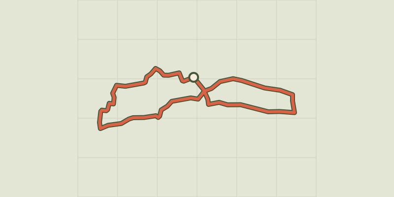 © OpenStreetMap, SRTM · OpenTopoMap (CC-BY-SA)
Cucuron Wine Trail
Luberon, Cucuron (84) · LoopOfficial rating by Parcs naturels régionaux de Provence-Alpes-Côte d'Azur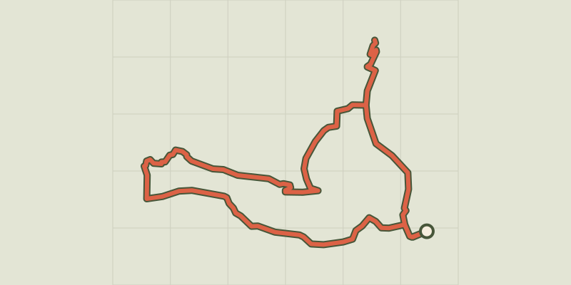 © OpenStreetMap, SRTM · OpenTopoMap (CC-BY-SA)
Cucuron-Vaugines - Chemin de pelerinage
Luberon, Cucuron (84) · LoopOfficial rating by Parcs naturels régionaux de Provence-Alpes-Côte d'Azur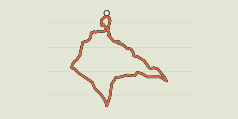 © OpenStreetMap, SRTM · OpenTopoMap (CC-BY-SA)
Landscapes of Ansouis
Luberon, Ansouis (84) · LoopOfficial rating by Parcs naturels régionaux de Provence-Alpes-Côte d'Azur © OpenStreetMap, SRTM · OpenTopoMap (CC-BY-SA)
Ansouis, between alleys and cobblestone streets
Luberon, Ansouis (84) · LoopOfficial rating by Parcs naturels régionaux de Provence-Alpes-Côte d'Azur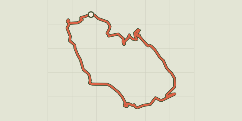 © OpenStreetMap, SRTM · OpenTopoMap (CC-BY-SA)
Le Mourre Nègre, northern side
Luberon, Auribeau (84) · LoopOfficial rating by Parcs naturels régionaux de Provence-Alpes-Côte d'Azur