
Geological trail

Key facts
- Distance
- 9.3 km
- Ascent
- +299 m
- Descent
- −251 m
- Estimated time
- 2 hr 35
- hiking
- Difficulty
- Moderate
- official rating
- Route
- Loop
- back to the start
Profile and gradient
- under 10%
- 10 to 20%
- over 20%
Gradient along the route: 8.6 km under 10% and 0.7 km at 10 to 20%. Elevation from 399 m to 636 m over 9.3 km.
Description
This stroll on the slopes of southern side if the Grand Luberon is intended for the curious hiker for whom geology remains a mystery... « Cabrières d'Aigues is a favourable location to discover geology. We have designeda geological trail to answer a few simple questions: What type of rock is this? When and how was it formed? What is the origin of landscapes? Here, the hiker travels through millions of years, from the ocean from the Mesozoic era, responsible for the limestone of the Grand Luberon, to the use of these same limestone by man in the 19th century. ». Stéphane Legal, geologist of the Luberon RNP. From the town hall, go up the slope of the Gaye, then take a left at the fountain. At the crossroads "Cime de Vière", turn right and take the rise. The tar gives way to a track. Take the track and head towards the massif along the farmlands. Then, 350m after a left turn, reach a small mountain pass. Continue straight on the track. 1 - At the crossroads "Le Couleron" (point 586), continue on the track to the right. Pass the sheep pen Jas de Pécou, then the "Ravin du Loup", and finally reach a tank (point 609). 2 - At the tank, turn right and go down the path. Lower down, go back on the track and continue down to reach a paved road. Continue straight along several croplands and reach the altitude point 439, 1km / less than a mile further. 3 - Take a right onto the path. After the grove, move forward between two fields, go straight at the next intersection, then cross the "Ravin du Loup" to the right. Continue by passing several houses, turn left once and come out on the upper streets of Cabrières d'Aigues. 4 - At the crossroads, turn right and take an immediate right again. At the bottom of the ramp, turn left to return to the starting point.
Difficulty
Official rating: moderate, by Parcs naturels régionaux de Provence-Alpes-Côte d'Azur.
Before you go
- After point 2, caution with your ankles in the descent.
- Follow carefully the specific markings of the geological trail, made up of arrows on wrought iron stands.
Getting there
Start: Parking de la Place du 8 Mai, Cabrières-d'Aigues, Cabrières-d'Aigues (84).
Sources
- Track: Parcs naturels régionaux de Provence-Alpes-Côte d'Azur (Chemins des Parcs), Licence Ouverte 2.0, Licence Ouverte 2.0 (Etalab) (www.cheminsdesparcs.fr/trek/31153-CABRIERES-D-AIGUES---Sentier-geologique). Time estimated by GPX Path with the Mac app rule, breaks not included.
- Official elevation gain: 299 m, Parcs naturels régionaux de Provence-Alpes-Côte d'Azur
Nearby tracks

 © OpenStreetMap, SRTM · OpenTopoMap (CC-BY-SA)
Le Mourre Nègre, southern side
Luberon, Cabrières-d'Aigues (84) · LoopOfficial rating by Parcs naturels régionaux de Provence-Alpes-Côte d'Azur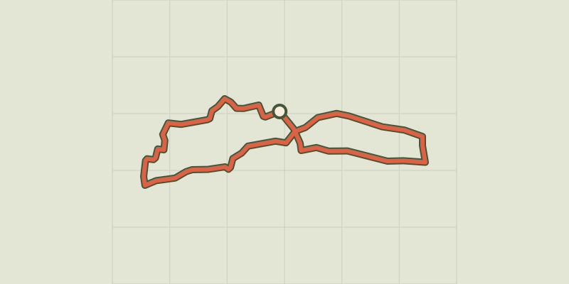 © OpenStreetMap, SRTM · OpenTopoMap (CC-BY-SA)
Cucuron Wine Trail
Luberon, Cucuron (84) · LoopOfficial rating by Parcs naturels régionaux de Provence-Alpes-Côte d'Azur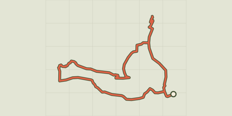 © OpenStreetMap, SRTM · OpenTopoMap (CC-BY-SA)
Cucuron-Vaugines - Chemin de pelerinage
Luberon, Cucuron (84) · LoopOfficial rating by Parcs naturels régionaux de Provence-Alpes-Côte d'Azur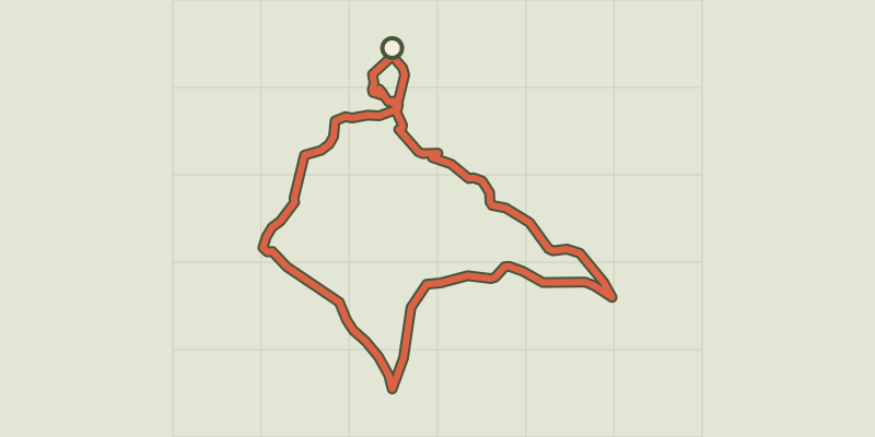 © OpenStreetMap, SRTM · OpenTopoMap (CC-BY-SA)
Landscapes of Ansouis
Luberon, Ansouis (84) · LoopOfficial rating by Parcs naturels régionaux de Provence-Alpes-Côte d'Azur © OpenStreetMap, SRTM · OpenTopoMap (CC-BY-SA)
Ansouis, between alleys and cobblestone streets
Luberon, Ansouis (84) · LoopOfficial rating by Parcs naturels régionaux de Provence-Alpes-Côte d'Azur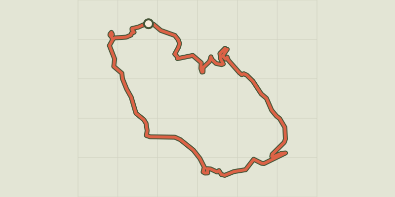 © OpenStreetMap, SRTM · OpenTopoMap (CC-BY-SA)
Le Mourre Nègre, northern side
Luberon, Auribeau (84) · LoopOfficial rating by Parcs naturels régionaux de Provence-Alpes-Côte d'Azur