
Landscapes of Ansouis

Key facts
- Distance
- 6.6 km
- Ascent
- +242 m
- Descent
- −220 m
- Estimated time
- 1 hr 55
- hiking
- Difficulty
- Easy
- official rating
- Route
- Loop
- back to the start
Profile and gradient
- under 10%
- 10 to 20%
- over 20%
Gradient along the route: 4.6 km under 10% and 2.0 km at 10 to 20%. Elevation from 217 m to 384 m over 6.6 km.
Description
Ascend the wooded hill of Pâtis, offering beautiful views of the Pays d'Aigues, the Grand Luberon and one of the most beautiful villages in France. "After a beautiful ascent in the shade of the oaks and pines I see, through the vegetation, Ansouis and its old military fortress. A little while longer, I arrived at the trail of ridges, slightly breathless, and discovered a beautiful panorama on the Grand Luberon. It was worthwhile! The descent on Ansouis ismore relaxing and opens on the plain and Pays d'Aigues. " says Séverine Besson, Task Officer for the Valuation of assets at the south side Luberon Tourist Office. From the car park of the Tourist Office, turn left under the porch and follow the road towards the village. At the roundabout, turn right onto the Boulevard des Platanes. Pass the Place Saint-Elzéar and continue straight until the Place des Hôtes. 1- Turn left, take the crossing of the Colombier. Below, at the exit of the curve (big cactus), take the stony trail to the left. At the bottom, follow the road to the left, then turn right and cross the stream Le Marderic. At the sign "Juillère", take the path on the left direction Le Gavède. Go under a house, cross a barrier, and climb a steep path. Cross a second barrier, then continue climbing up the ridge trail. 2- At the top, turn right and follow the forest trail. At the height of the power line, leave a path on the right and continue straight ahead. 3- At the intersection "Coulet Blanc", continue straight in the direction of Villelaure, Vieux Moulin. Pass in front of a house, leave a path to the left, then, 100m further, turn to the right. Go straight ahead, cross a barrier, and then a second leading to the hamlet of Font-Blanche. Continue twice to the right, cross the small bridge over Le Marderic and reach the Route de Pertuis (D37). 4- Take the right for 300m and after the turn, turn right on the paved road of the Vieux Moulin. Go back to the village, go back to point 1 and reach the Place des Hôtes. Go further and turn left into the Rue du Petit Portail. 30m later, climb the stairs to the right. Go left in the Rue du Grand Four, then go up to the Place du Château. 5- Go back, go down to the first intersection, and turn right onto Grande Rue. Continue right on Rue de France and return to Place de la Vieille Fontaine and the Tourist Office.
Difficulty
Official rating: easy, by Parcs naturels régionaux de Provence-Alpes-Côte d'Azur.
Before you go
- Be careful on the return by taking the road of Pertuis (D37) on almost 300m.
Getting there
Start: Place de la Vieille Fontaine (pied nord du village), Ansouis, Ansouis (84).
Sources
- Track: Parcs naturels régionaux de Provence-Alpes-Côte d'Azur (Chemins des Parcs), Licence Ouverte 2.0, Licence Ouverte 2.0 (Etalab) (www.cheminsdesparcs.fr/trek/30953-ANSOUIS---Des-ruelles-du-village-a-la-foret-des-Patis). Time estimated by GPX Path with the Mac app rule, breaks not included.
- Official elevation gain: 242 m, Parcs naturels régionaux de Provence-Alpes-Côte d'Azur
Nearby tracks

 © OpenStreetMap, SRTM · OpenTopoMap (CC-BY-SA)
Ansouis, between alleys and cobblestone streets
Luberon, Ansouis (84) · LoopOfficial rating by Parcs naturels régionaux de Provence-Alpes-Côte d'Azur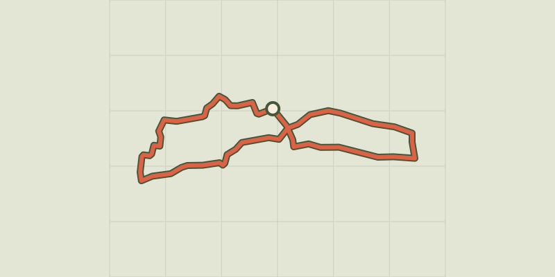 © OpenStreetMap, SRTM · OpenTopoMap (CC-BY-SA)
Cucuron Wine Trail
Luberon, Cucuron (84) · LoopOfficial rating by Parcs naturels régionaux de Provence-Alpes-Côte d'Azur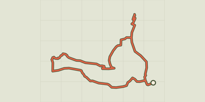 © OpenStreetMap, SRTM · OpenTopoMap (CC-BY-SA)
Cucuron-Vaugines - Chemin de pelerinage
Luberon, Cucuron (84) · LoopOfficial rating by Parcs naturels régionaux de Provence-Alpes-Côte d'Azur © OpenStreetMap, SRTM · OpenTopoMap (CC-BY-SA)
Le Mourre Nègre, southern side
Luberon, Cabrières-d'Aigues (84) · LoopOfficial rating by Parcs naturels régionaux de Provence-Alpes-Côte d'Azur © OpenStreetMap, SRTM · OpenTopoMap (CC-BY-SA)
Geological trail
Luberon, Cabrières-d'Aigues (84) · LoopOfficial rating by Parcs naturels régionaux de Provence-Alpes-Côte d'Azur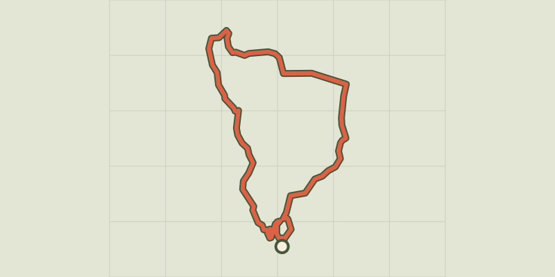 © OpenStreetMap, SRTM · OpenTopoMap (CC-BY-SA)
Cadenet - LOURMARIN - D'un château à l'autre
Luberon, Cadenet (84) · LoopOfficial rating by Parcs naturels régionaux de Provence-Alpes-Côte d'Azur