
On the country of Aigues by bike (East)

Key facts
- Distance
- 38.8 km
- Ascent
- +687 m
- Descent
- −613 m
- Estimated time
- 2 hr 30
- road cycling
- Difficulty
- Moderate
- official rating
- Route
- Loop
- back to the start
Profile and gradient
- under 10%
- 10 to 20%
- over 20%
Gradient along the route: 38.8 km under 10%. Elevation from 241 m to 520 m over 38.8 km.
Description
Large loop of the south Luberon, on the eastern part of the road "Le pays d'Aigues à vélo"; a joy between vineyards and villages! "The villages, huddled in the Luberon's hollow or perched like lighthouses with shaded squares and fountains, will oblige you to raise your head to look fully at these unforgettable beauties, while the tourist providersmarked "Acceuil Vélo" will welcome all cyclists to a cool and restful stopover. Do not hesitate anymore and follow the small picturesque and serene roads. Let yourself be charmed: it's a real treat! " Loïc Munier, organizer for Vélo Loisir Provence. With your back to the castle and the tourist office, turn right on the Boulevard de la République (D956). 180m later, turn left into a protected passage (bike sign "Liaison La-Tour-d'Aigues-Saint-Martin-de-la-Brasque"). Go past the college. At the next roundabout, turn right into Chemin du Piedmont. Further down, reach the D120 and take a right for 200m. 1- At the intersection, turn right towards Saint-Martin-de-La Brasque (D165). At the Y, stay on the left. At the entrance of the village, turn right and go through the large car park. At the corner of the town hall, turn left and proceed straight until the D27. 2- Turn right, leave on the left the bike route "Autour du Luberon", and continue the D27 until the foot of the village of Grambois. Before the stop, turn left (signposted "Pays d'Aiguesà vélo"), take the D856 then turn right at the roundabout (D122). Cross the bridge over the Eze, climb the winding path and reach the top of Grambois. At the roundabout, turn right towards Beaumont-de-Pertuis. At the Y continue on the left the D122) for 4km. 3- Turn right towards Beaumont-de-Pertuis (stretch of D42 common with the cycle route "Autour du Luberon"). 4- At the intersection, leave on the left the cycle route "Autour du Luberon" and continue right towards the center of Beaumont-de-Pertuis (D42). Facing the town hall, turn right. Follow the road to Mirabeau (D198). Go past ND de Beauvoir, turn, and continue until Mirabeau. 5- At the foot of Mirabeau, just after the tennis courts, turn right twice and follow the road to La Tour-d'Aigues (D135). Farther, turn twice to the left and once to the right, then slip to La Tour-d'Aigues (D135). 6- At the height of ND de Ferrage, leave the road "Le Pays d'Aigues à vélo" which goes left towards La Bastidonne, continue right. Just after the bridge over the Eze, turn right. Cross the street on the left, climb the rue des Remparts and go right to the castle.
Difficulty
Official rating: moderate, by Parcs naturels régionaux de Provence-Alpes-Côte d'Azur.
Before you go
- This route follows streets opened to public traffic; so under all circumstances, it is therefore essential to respect the highway code. Wearing a helmet is highly recommended, for children as well as for adults!
- For the more athletic ones: from the point 6 at the entrance of La Tour d'Aigues, it is possible to follow the Western route of the "Le pays d'Aigues by bike" route (totaling 105km).
Getting there
Start: Office de tourisme, place Jean Jaurès, La-Tour-d'Aigues, La Tour-d'Aigues (84).
Sources
- Track: Parcs naturels régionaux de Provence-Alpes-Côte d'Azur (Chemins des Parcs), Licence Ouverte 2.0, Licence Ouverte 2.0 (Etalab) (www.cheminsdesparcs.fr/trek/37667-LA-TOUR-D-AIGUES---Sur-le-pays-d-Aigues-a-velo-(Est)). Time estimated by GPX Path with the Mac app rule, breaks not included.
- Official elevation gain: 687 m, Parcs naturels régionaux de Provence-Alpes-Côte d'Azur
Nearby tracks

 © OpenStreetMap, SRTM · OpenTopoMap (CC-BY-SA)
On the trail of the Waldensians (Disciples of the Christian movement founded by Peter Waldo)
Luberon, La Tour-d'Aigues (84) · LoopOfficial rating by Parcs naturels régionaux de Provence-Alpes-Côte d'Azur © OpenStreetMap, SRTM · OpenTopoMap (CC-BY-SA)
The vines at the mercy of the bike riding season
Luberon, La Tour-d'Aigues (84) · LoopOfficial rating by Parcs naturels régionaux de Provence-Alpes-Côte d'Azur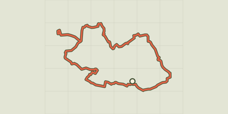 © OpenStreetMap, SRTM · OpenTopoMap (CC-BY-SA)
Touring the Pays d'Aigues by bike (West)
Luberon, Pertuis (84) · LoopOfficial rating by Parcs naturels régionaux de Provence-Alpes-Côte d'Azur © OpenStreetMap, SRTM · OpenTopoMap (CC-BY-SA)
The Pays d'Aigues by bike
Luberon, Pertuis (84) · Point to pointOfficial rating by Parcs naturels régionaux de Provence-Alpes-Côte d'Azur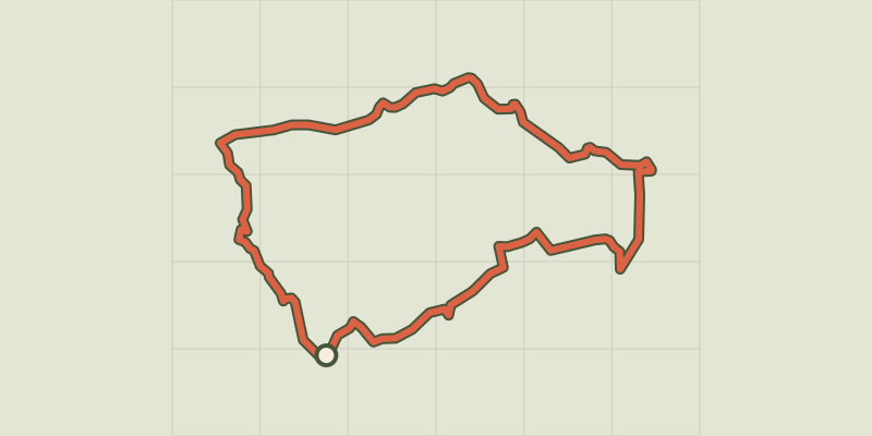 © OpenStreetMap, SRTM · OpenTopoMap (CC-BY-SA)
By bike, between local produce and olives
Luberon, Ansouis (84) · LoopOfficial rating by Parcs naturels régionaux de Provence-Alpes-Côte d'Azur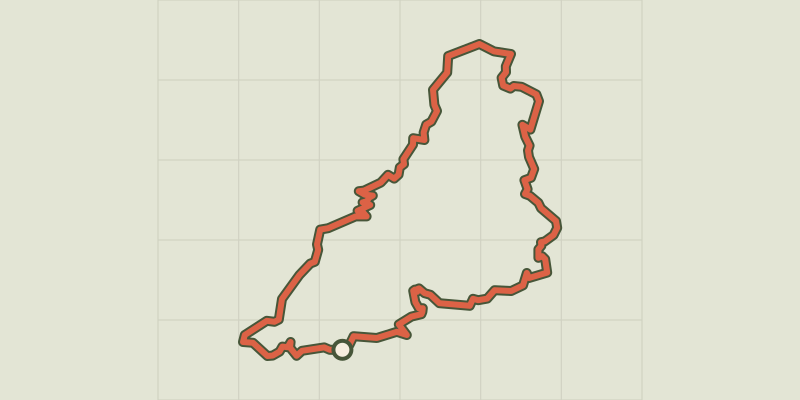 © OpenStreetMap, SRTM · OpenTopoMap (CC-BY-SA)
Céreste-en-Luberon - À vélo, à l'assaut du plateau de Vachères
Luberon, Céreste-en-Luberon (04) · LoopOfficial rating by Parcs naturels régionaux de Provence-Alpes-Côte d'Azur