
Touring the Pays d'Aigues by bike (West)

Key facts
- Distance
- 64.4 km
- Ascent
- +688 m
- Descent
- −567 m
- Estimated time
- 3 hr 30
- road cycling
- Difficulty
- Difficult
- official rating
- Route
- Loop
- back to the start
Profile and gradient
- under 10%
- 10 to 20%
- over 20%
Gradient along the route: 64.4 km under 10%. Elevation from 155 m to 349 m over 64.4 km.
Description
A large loop of the south Luberon, on the western part of the route "Le Pays d'Aigues à vélo"; A serious treat amongst vineyards and castles! « Whether you are lovers of spring mornings with scents of cherry blossoms, whether you prefer a summer tour in the warmth of the sunset or you worship the first frost glowing on the swaying vineyards of early autumn, every spin of the wheels on Pays d'Aigues is magical and amazing! In addition, on this large loop, at each town travelled to, refreshing stopoversand gourmet treats are necessary! » Dorothée Génin, Entertainer at Vélo Loisir Provence. Mirabeau Square, with your back towards the Tourist Office of Pertuis, go around the fountain and go down to the left towards the Place du 4 Septembre. Turn left Place Jean Jaurès, go down to the right on the Danton street then the Cours de la République. At the stop sign, turn right on the Victor Hugo boulevard. At the roundabout, exit left onto the Jules Ferry boulevard. After the bridge, turn left on the VC15 de l'Eye and follow westward the markings of the bike route "Le Pays d'Aigues à vélo" (bike arrows with green dot) to Villeneuve. 1- When reachingthe town hall of Villeneuve, continue on Jean Moulin avenue towards the village centre. Turn left Forbin de Janson street (D975). 200m further, continue to the left, then after another 200m, turn left again on Chemin des Curates. A little further down, turn right on Chemin de Versailles. At the roundabout, go across and reach Cadenet following the signs "Le Pays d'Aigues à vélo". 2- From the Cadenet tourist office, at the Tambour d'Arcole Square, move right onto Cours Voltaire, go past the town hall then the church and continue 2.8km towards Vaugine Cucuron (D45). 3- At the stop sign, turn left (D135), then turn right to reach the village of Lourmarin (D943). Return to point 3, turn left (D45). At the stop sign, go straight to Vaugines. Do not miss the Chemin des Garrigues to the right. 800m further, turn right then left. At the stop sign, turn left (D27) and reach the place de l'Etang in Cucuron. 4- Go straight to the tourist office, turn right (D56). At the stop sign, turn left (D27), then right towards Ansouis. 250m further, take the Chemin de l'Agnie to the right and continue. At the stop sign, come out on D37, turn left and reach the tourist office at the foot of the Ansouis village. 5- From the tourist office, go left on the small road in the Grand Pibaraud area. Turn right at the Y-shaped junction and 370m further, turn right on Chemin de l'Abouaud Brinde. Come out on D37 and take left towards the Etang de la Bonde. Turn left (D9) and then right (D27). Pass the entrance of the pond and 500m further, turn right (D37). Turn left and continue on Chemins des Escabots and continue to the right (D120). 6- At the crossroads of the D165, continue across and at the Y-shaped junction 250m further, take a left. Turn left and in front of the high school, take the right of way to come out on the Boulevard de la République. Turn right and reach the Jean Jaurès Square and the castle of La Tour d'Aigues. 7- Leave the castle to the left, continue on the Boulevard de la République and turn left on the Antoine de Très street towards Pertuis (D956). Continue 350m and turn left on the Boulevard de la Libération (D35). Go onto the right and cross the Eze. Go to the Mirabeau road and turn right towards La Bastidonne (D165). Further at the Y-shaped junction, continue on the left onto La Bastidonne. 8- At the La Bastidonne town hall, turn left twice on Rue des Ferrages and Rue de Fonvieille. Go left under the bridge. then continue west. Reach Pertuis and at the stop light, turn left on the Ledru-Rollin Boulevard (D975). At the next crossroads, continue straight until Cours de la République (stop light at the small roundabout). Turn right to go to the Tourist Office of Pertuis.
Difficulty
Official rating: difficult, by Parcs naturels régionaux de Provence-Alpes-Côte d'Azur.
Before you go
- This route follows streets opened to public traffic; so under all circumstances, it is therefore essential to respect the highway code. Wearing a helmet is highly recommended, for children as well as for adults!
- For the more athletic ones: from point 6, its possible to continue with this east loop of the route "Le Pays d'Aigues à vélo" (a total of 97km).
Getting there
Start: Parking de la Dévalade, Pertuis, Pertuis (84).
Sources
- Track: Parcs naturels régionaux de Provence-Alpes-Côte d'Azur (Chemins des Parcs), Licence Ouverte 2.0, Licence Ouverte 2.0 (Etalab) (www.cheminsdesparcs.fr/trek/135300-PERTUIS---Sur-le-pays-d-Aigues-a-velo-(cote-ouest)). Time estimated by GPX Path with the Mac app rule, breaks not included.
- Official elevation gain: 688 m, Parcs naturels régionaux de Provence-Alpes-Côte d'Azur
Nearby tracks

 © OpenStreetMap, SRTM · OpenTopoMap (CC-BY-SA)
The Pays d'Aigues by bike
Luberon, Pertuis (84) · Point to pointOfficial rating by Parcs naturels régionaux de Provence-Alpes-Côte d'Azur © OpenStreetMap, SRTM · OpenTopoMap (CC-BY-SA)
On the trail of the Waldensians (Disciples of the Christian movement founded by Peter Waldo)
Luberon, La Tour-d'Aigues (84) · LoopOfficial rating by Parcs naturels régionaux de Provence-Alpes-Côte d'Azur © OpenStreetMap, SRTM · OpenTopoMap (CC-BY-SA)
The vines at the mercy of the bike riding season
Luberon, La Tour-d'Aigues (84) · LoopOfficial rating by Parcs naturels régionaux de Provence-Alpes-Côte d'Azur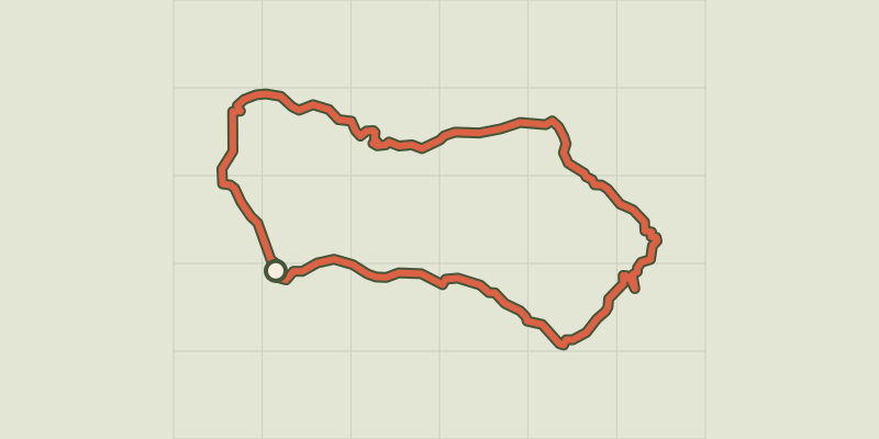 © OpenStreetMap, SRTM · OpenTopoMap (CC-BY-SA)
On the country of Aigues by bike (East)
Luberon, La Tour-d'Aigues (84) · LoopOfficial rating by Parcs naturels régionaux de Provence-Alpes-Côte d'Azur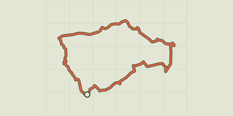 © OpenStreetMap, SRTM · OpenTopoMap (CC-BY-SA)
By bike, between local produce and olives
Luberon, Ansouis (84) · LoopOfficial rating by Parcs naturels régionaux de Provence-Alpes-Côte d'Azur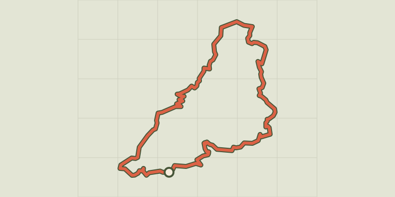 © OpenStreetMap, SRTM · OpenTopoMap (CC-BY-SA)
Céreste-en-Luberon - À vélo, à l'assaut du plateau de Vachères
Luberon, Céreste-en-Luberon (04) · LoopOfficial rating by Parcs naturels régionaux de Provence-Alpes-Côte d'Azur