
The vines at the mercy of the bike riding season

Key facts
- Distance
- 38.8 km
- Ascent
- +401 m
- Descent
- −339 m
- Estimated time
- 2 hr 05
- road cycling
- Difficulty
- Moderate
- official rating
- Route
- Loop
- back to the start
Profile and gradient
- under 10%
- 10 to 20%
- over 20%
Gradient along the route: 38.8 km under 10%. Elevation from 166 m to 348 m over 38.8 km.
Description
By bike, browse the vineyard landscapes of the Luberon and learn more about the vineyards and winemaking. I love this vineyard which shapes the landscape and its colors that change with the seasons. I admire the winemakers that maintain the vineyard throughout the year to produce a tasty wine. And as they say in Provence, "Doou bouen terradou, bouen vin" (with good soil, good wine). So take advantage of a good refreshment break in one of the many wineries of Aigues". says Mylène Maurel - Agriculture and Tourism Project manager at the Luberon RNP. With your back to the castle and the tourist office, turn right on the Boulevard de la République (D956). 180m away, go left on a pedestrian crossing (cycling sign). Pass the middle school then at the roundabout take the 2nd right (Chemin du Piedmont). Further down, reach the D120 and take a right for 800 m. 1 - Turn left on Chemin des Escabots. At the intersection, turn right on the D37. Come out the D27 and follow it to the left going along the pond. At the roundabout, turn left (D9) over 400m then turn right (D37). Reach Ansouis by the D37. 2- At the roundabout, take a left onto the Boulevard des Platanes. Continue straight up until the Place des Hôtes and go down the Rue du Vieux Moulin. At the stop sign, turn left on the D37 for 300m. After the curve, go right up the paved track. Continue straight for 2km and come out on the D182. Follow it to the left then follow the Route d'Ansouis (D37) to Villelaure. 300m after the village entry sign, turn left on the Cours du Luberon. At the next intersection, continue for 70m and turn left on the Rue de Séguret. At the end of the road, turn right. 3 - At the stop sign, go straight across on the Avenue Jean Moulin. At the roundabout, follow across the marking "Le pays d'Aigues à vélo" (bike arrows with red dots) to Pertuis. 4- Leaving the VC15 of Eze, turn right over the bridge and up the boulevard Jules Ferry (D973). At the roundabout, continue to the right on the Boulevard Victor Hugo and continue straight for 600m on the D973 (marking "Le pays d'Aigues à vélo"). Turn right on Rue Léon Arnoux over 1.5km. At the exit sign of the village, turn left onto the VC12 of Condamines and reach La Bastidonne. 5- Take the Rue des Ferrages to the right. Climb left onto Rue du Pasquier and turn right. At the Y, go left for 600m on the Chemin des Paroites then go left on the Chemin de Pouspeire. At the give-way, reach the D165 to the right. Come out on the D135 and head left to the Tour-d'Aigues. Cross the Eze river and switch to the right onto Rue Sous le Château. Work your way up the ramparts, turn right twice on Rue des Remparts and under the porch to reach the Place Jean Jaurès and the castle.
Difficulty
Official rating: moderate, by Parcs naturels régionaux de Provence-Alpes-Côte d'Azur.
Before you go
- This route follows streets opened to public traffic; so under all circumstances, it is therefore essential to respect the highway code. Wearing a helmet is highly recommended, for children as well as for adults!
Getting there
Start: Office de tourisme, place Jean Jaurès, La Tour-d'Aigues, La Tour-d'Aigues (84).
Sources
- Track: Parcs naturels régionaux de Provence-Alpes-Côte d'Azur (Chemins des Parcs), Licence Ouverte 2.0, Licence Ouverte 2.0 (Etalab) (www.cheminsdesparcs.fr/trek/55409-LA-TOUR-D-AIGUES---A-velo%2C-la-vigne-au-gre-des-saisons). Time estimated by GPX Path with the Mac app rule, breaks not included.
- Official elevation gain: 401 m, Parcs naturels régionaux de Provence-Alpes-Côte d'Azur
Nearby tracks

 © OpenStreetMap, SRTM · OpenTopoMap (CC-BY-SA)
On the trail of the Waldensians (Disciples of the Christian movement founded by Peter Waldo)
Luberon, La Tour-d'Aigues (84) · LoopOfficial rating by Parcs naturels régionaux de Provence-Alpes-Côte d'Azur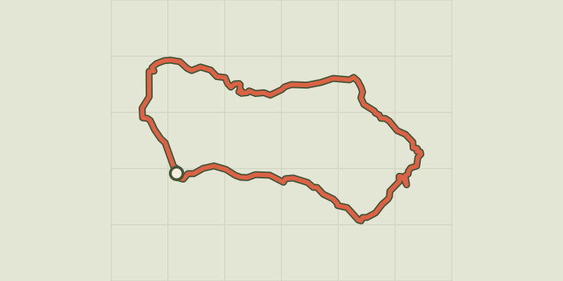 © OpenStreetMap, SRTM · OpenTopoMap (CC-BY-SA)
On the country of Aigues by bike (East)
Luberon, La Tour-d'Aigues (84) · LoopOfficial rating by Parcs naturels régionaux de Provence-Alpes-Côte d'Azur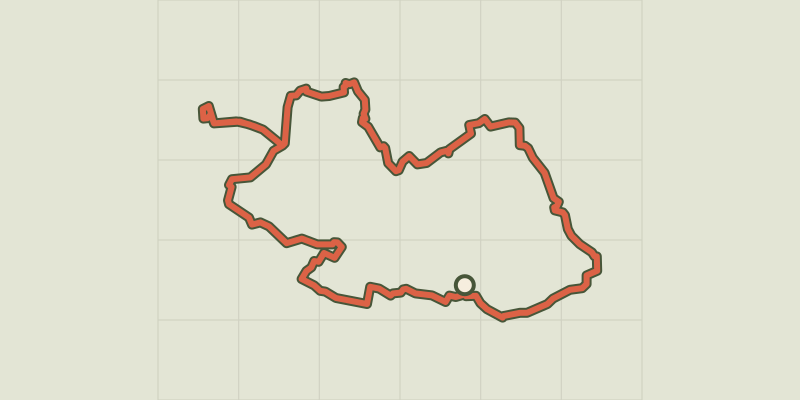 © OpenStreetMap, SRTM · OpenTopoMap (CC-BY-SA)
Touring the Pays d'Aigues by bike (West)
Luberon, Pertuis (84) · LoopOfficial rating by Parcs naturels régionaux de Provence-Alpes-Côte d'Azur © OpenStreetMap, SRTM · OpenTopoMap (CC-BY-SA)
The Pays d'Aigues by bike
Luberon, Pertuis (84) · Point to pointOfficial rating by Parcs naturels régionaux de Provence-Alpes-Côte d'Azur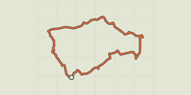 © OpenStreetMap, SRTM · OpenTopoMap (CC-BY-SA)
By bike, between local produce and olives
Luberon, Ansouis (84) · LoopOfficial rating by Parcs naturels régionaux de Provence-Alpes-Côte d'Azur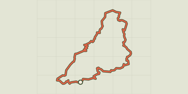 © OpenStreetMap, SRTM · OpenTopoMap (CC-BY-SA)
Céreste-en-Luberon - À vélo, à l'assaut du plateau de Vachères
Luberon, Céreste-en-Luberon (04) · LoopOfficial rating by Parcs naturels régionaux de Provence-Alpes-Côte d'Azur