
Roc Saint-Gervais

Key facts
- Distance
- 10.5 km
- Ascent
- +532 m
- Descent
- −464 m
- Estimated time
- 3 hr 20
- hiking
- Difficulty
- Moderate
- official rating
- Route
- Loop
- back to the start
Profile and gradient
- under 10%
- 10 to 20%
- over 20%
Gradient along the route: 6.0 km under 10%, 3.7 km at 10 to 20% and 0.8 km over 20%. Elevation from 512 m to 972 m over 10.5 km.
Description
Explore the Jonte gorge, the Roc de Saint-Gervais sanctuary and typical hamlets. Start by crossing the parking area at Hyelzas. 1) Before the houses, take the track on the left; at the crossroads turn left again going downhill. Before the barrier, the path veers left and joins an old mule track, which continues downhill to the D 996. 2) Turn right onto the D 996, towards Le Rozier, to the hamlet of Les Douzes. 3) Just before the restaurant, take the stairs uphill between the houses to the sanctuary dedicated to St Gervase. 4) After visiting the sanctuary (retrace your steps), take the path on the left onto a flat area. Continue straight ahead on the path that goes up the ravine of Les Bastides, then cross the ravine and go uphill to the D 63 road. 5) Turn right onto the road for 500 m to the gate, and take the track on the left. Go past the gate. At the first crossroads, take a path on the right that goes uphill to the hamlet of Les Bastides. 6) In the hamlet, take the road on the right downhill to the D 63. Cross the D 63 to take the path opposite, which goes downhill for a few metres, then uphill to a track leading to Hyelzas. 7) Go past the front of the Caussenard farm, then turn right, then left, then right again to return to the parking area.
Difficulty
Official rating: moderate, by Parc national des Cévennes.
Before you go
- Make sure your equipment is appropriate for the day’s weather conditions. Remember that the weather changes quickly in the mountains. Take enough water, wear sturdy shoes and put on a hat. Please close all gates and barriers behind you.
Getting there
Start: Hyelzas, Hures-la-Parade (48).
Sources
- Track: Parc national des Cévennes, Licence Ouverte 1.0, Licence Ouverte 1.0 (Etalab) (destination.cevennes-parcnational.fr/trek/43383-Roc-Saint-Gervais). Time estimated by GPX Path with the Mac app rule, breaks not included.
- Official elevation gain: 532 m, Parc national des Cévennes
Nearby tracks

 © OpenStreetMap, SRTM · OpenTopoMap (CC-BY-SA)
The arches of Saint-Pierre
Cévennes, Saint-Pierre-des-Tripiers (48) · LoopOfficial rating by Parc national des Cévennes © OpenStreetMap, SRTM · OpenTopoMap (CC-BY-SA)
The three hamlets
Occitanie, Hures-la-Parade (48) · LoopOfficial rating by Parc national des Cévennes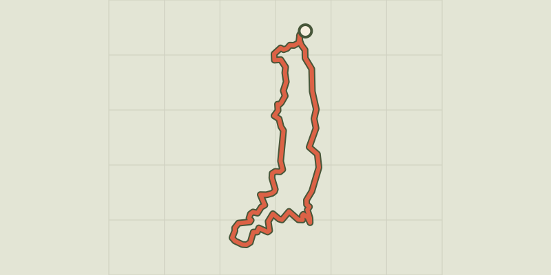 © OpenStreetMap, SRTM · OpenTopoMap (CC-BY-SA)
Baousse del Biel
Cévennes, Massegros Causses Gorges (48) · LoopOfficial rating by Parc national des Cévennes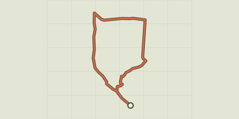 © OpenStreetMap, SRTM · OpenTopoMap (CC-BY-SA)
Three Bishops’ Cross trail
Cévennes, Lanuéjols (30) · LoopOfficial rating by Parc national des Cévennes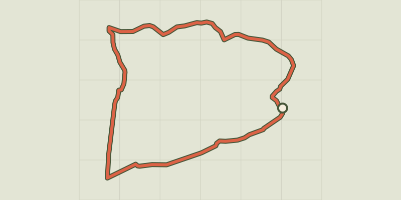 © OpenStreetMap, SRTM · OpenTopoMap (CC-BY-SA)
Dargilan
Occitanie, Meyrueis (48) · LoopOfficial rating by Parc national des Cévennes © OpenStreetMap, SRTM · OpenTopoMap (CC-BY-SA)
Birds of the Causses and Gorges
Cévennes, La Malène (48) · LoopOfficial rating by Parc national des Cévennes