
Birds of the Causses and Gorges

Key facts
- Distance
- 2.8 km
- Ascent
- +91 m
- Descent
- −70 m
- Estimated time
- 45 min
- hiking
- Difficulty
- Very easy
- official rating
- Route
- Loop
- back to the start
Profile and gradient
- under 10%
- 10 to 20%
- over 20%
Gradient along the route: 2.5 km under 10% and 0.3 km at 10 to 20%. Elevation from 846 m to 921 m over 2.8 km.
Description
This walk follows the traces of several bird species that illustrate the biodiversity of the Grands Causses plateaux. A trail for seeing and listening… Psst! The thickets along the edges of the Causse Méjean limestone plateau overlook the Tarn river and provide the ideal conditions for exploring this natural environment suspended between sky and gorge. High up in the sky, proud vultures show off, but smaller birds live discreetly along the path. This project was realised by Méjean Primary School in La Parade. Pupils’ drawings are exhibited at several points of interest along the path. From Roc des Hourtous, the path runs along the cliff edge, providing beautiful views over the Tarn gorge, before heading back into the brush. After you have gone through the hamlet of Rieisse, you return to the car park on the small road leading to the belvedere.
Difficulty
Official rating: very easy, by Parc national des Cévennes.
Before you go
- You must be particularly vigilant at the edge of the cliffs: stick to the waymarked path only and hold young children by the hand.
Getting there
Start: Belvédère du Roc des Hourtous, La Malène (48).
Sources
- Track: Parc national des Cévennes, Licence Ouverte 1.0, Licence Ouverte 1.0 (Etalab) (destination.cevennes-parcnational.fr/trek/40088-Oiseaux-des-causses-et-des-gorges). Time estimated by GPX Path with the Mac app rule, breaks not included.
- Official elevation gain: 91 m, Parc national des Cévennes
Nearby tracks

 © OpenStreetMap, SRTM · OpenTopoMap (CC-BY-SA)
Roc des Hourtous
Cévennes, La Malène (48) · LoopOfficial rating by Parc national des Cévennes © OpenStreetMap, SRTM · OpenTopoMap (CC-BY-SA)
Roc de La Truque
Cévennes, La Malène (48) · LoopOfficial rating by Parc national des Cévennes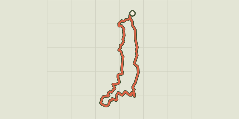 © OpenStreetMap, SRTM · OpenTopoMap (CC-BY-SA)
Baousse del Biel
Cévennes, Massegros Causses Gorges (48) · LoopOfficial rating by Parc national des Cévennes © OpenStreetMap, SRTM · OpenTopoMap (CC-BY-SA)
The arches of Saint-Pierre
Cévennes, Saint-Pierre-des-Tripiers (48) · LoopOfficial rating by Parc national des Cévennes © OpenStreetMap, SRTM · OpenTopoMap (CC-BY-SA)
cirque de Saint-Chély-du-Tarn
Cévennes, Gorges du Tarn Causses (48) · LoopOfficial rating by Parc national des Cévennes © OpenStreetMap, SRTM · OpenTopoMap (CC-BY-SA)
Puech d'Alluech
Cévennes, Mas-Saint-Chély (48) · LoopOfficial rating by Parc national des Cévennes