
Baousse del Biel

Key facts
- Distance
- 7.5 km
- Ascent
- +268 m
- Descent
- −186 m
- Estimated time
- 2 hr 05
- hiking
- Difficulty
- Moderate
- official rating
- Route
- Loop
- back to the start
Profile and gradient
- under 10%
- 10 to 20%
- over 20%
Gradient along the route: 6.8 km under 10% and 0.8 km at 10 to 20%. Elevation from 751 m to 876 m over 7.5 km.
Description
This path between two cliffs has beautiful views onto the Tarn gorge and its troglodytic villages! NB: You are being watched by vultures. Remember your binoculars! From the car park, go up to the village, which you cross on the left-hand side. 1) By the last houses, go down on the right towards the cliff edge. The path runs along the cliff and stays mostly at the same height until you reach the ladders of Singlegros. NB: Do not descend to the “Pas de l’Arc”. 2) At the crossroads with the path down to the ladders of Singlegros, continue on the path veering to the left and, at the first fork, take the path on the left to return to the plateau. 3) Turn left onto the track (GR) to return to La Volcégure and then La Bourgarie.
Difficulty
Official rating: moderate, by Parc national des Cévennes.
Before you go
- Not recommended for those who suffer from vertigo. Caution! The path is slippery when wet. Make sure your equipment is appropriate for the day’s weather conditions. Remember that the weather changes quickly in the mountains. Take enough water, wear sturdy shoes and put on a hat.
Getting there
Start: La Bourgarie, Massegros Causses Gorges (48).
Sources
- Track: Parc national des Cévennes, Licence Ouverte 1.0, Licence Ouverte 1.0 (Etalab) (destination.cevennes-parcnational.fr/trek/43306-Baousse-del-Biel). Time estimated by GPX Path with the Mac app rule, breaks not included.
- Official elevation gain: 268 m, Parc national des Cévennes
Nearby tracks

 © OpenStreetMap, SRTM · OpenTopoMap (CC-BY-SA)
The arches of Saint-Pierre
Cévennes, Saint-Pierre-des-Tripiers (48) · LoopOfficial rating by Parc national des Cévennes © OpenStreetMap, SRTM · OpenTopoMap (CC-BY-SA)
Birds of the Causses and Gorges
Cévennes, La Malène (48) · LoopOfficial rating by Parc national des Cévennes © OpenStreetMap, SRTM · OpenTopoMap (CC-BY-SA)
Roc des Hourtous
Cévennes, La Malène (48) · LoopOfficial rating by Parc national des Cévennes © OpenStreetMap, SRTM · OpenTopoMap (CC-BY-SA)
Roc de La Truque
Cévennes, La Malène (48) · LoopOfficial rating by Parc national des Cévennes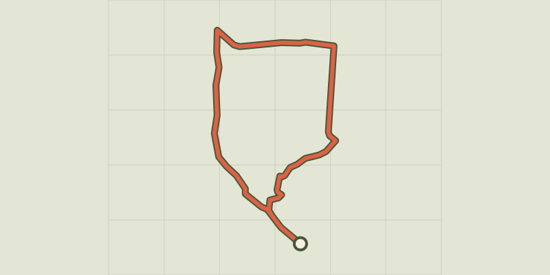 © OpenStreetMap, SRTM · OpenTopoMap (CC-BY-SA)
Three Bishops’ Cross trail
Cévennes, Lanuéjols (30) · LoopOfficial rating by Parc national des Cévennes © OpenStreetMap, SRTM · OpenTopoMap (CC-BY-SA)
Puech d'Alluech
Cévennes, Mas-Saint-Chély (48) · LoopOfficial rating by Parc national des Cévennes