
GPX tracks in France (page 120)
7,023 GPX tracks in France, with distance, elevation gain and time for each track. Pick a region on the map, then filter by department, sport, distance, elevation gain and time.
All GPX tracks in France
Activity : All activities

 Plan IGN © IGN 2026From one Gardon to the nextCévennes, Saint-Jean-du-Gard (30) · LoopOfficial rating by Parc national des Cévennes

 Plan IGN © IGN 2026 · track © OpenStreetMapD'un village à l'autreNouvelle-Aquitaine, Saint-Cyr-la-Lande (79) · Loop
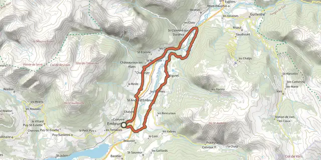 Plan IGN © IGN 2026From one bank of the Durance to the otherÉcrins, Embrun (05) · LoopOfficial rating by Parc national des Écrins
 Plan IGN © IGN 2026D’une vallée à l’autre, entre Gardon et TarnonCévennes, Rousses (48) · Point to pointOfficial rating by Parc national des Cévennes
 Plan IGN © IGN 2026 · track © OpenStreetMapDa Paesi à Paesi Cuttoli - TollaCorsica, Cuttoli-Corticchiato (2A) · Point to point
 Plan IGN © IGN 2026 · track © OpenStreetMapDa Paesi à Paesi Peri - CuttoliCorsica, Peri (2A) · Point to point
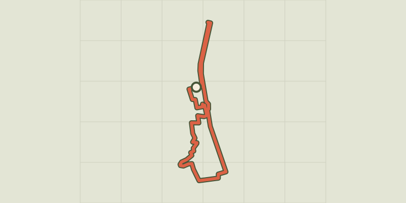 Plan IGN © IGN 2026 · track © OpenStreetMapDamazan, la Bastide du Canal de Garonne - 9,8kmNouvelle-Aquitaine, Damazan (47) · Loop
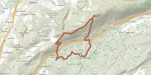 Plan IGN © IGN 2026Dame BlancheBourgogne-Franche-Comté, Besançon (25) · LoopOfficial rating by Département du Doubs
 Plan IGN © IGN 2026Dame Blanche et Vieux TilleulBourgogne-Franche-Comté, Besançon (25) · LoopOfficial rating by Département du Doubs
 Plan IGN © IGN 2026Dans l'air de Plum'Brittany, Plumaudan (22) · LoopOfficial rating by Département des Côtes d'Armor
 Plan IGN © IGN 2026Corbière Forest LoopBrittany, Saint-Jean-sur-Vilaine (35) · Loop
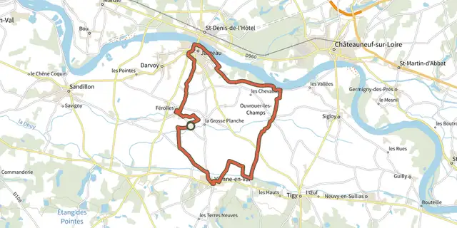 Plan IGN © IGN 2026Dans la mécanique de Saint PierreCentre-Val de Loire, Férolles (45) · Loop

 Plan IGN © IGN 2026 · track © OpenStreetMapDans la plaine du Pont-LongNouvelle-Aquitaine, Sauvagnon (64) · Loop
 Plan IGN © IGN 2026Dans la roue d'Albert BourlonCentre-Val de Loire, Argenvières (18) · Loop
 Plan IGN © IGN 2026Dans le Loiret bocagerCentre-Val de Loire, Châtillon-sur-Loire (45) · Loop
 Plan IGN © IGN 2026DargilanOccitanie, Meyrueis (48) · LoopOfficial rating by Parc national des Cévennes
 Plan IGN © IGN 2026MTB 7 - Dargilan - graded blueOccitanie, Meyrueis (48) · LoopOfficial rating by Parc national des Cévennes
 Plan IGN © IGN 2026Dauzat-sur-VodableAuvergne, Ternant-les-Eaux (63) · Loop

 Plan IGN © IGN 2026De Barre à la rivière de la Mimente - Trail n°13Cévennes, Barre-des-Cévennes (48) · LoopOfficial rating by Parc national des Cévennes
 Plan IGN © IGN 2026 · track © OpenStreetMapDe bois et d'eauBrittany, Saint-Médard-sur-Ille (35) · Loop
 Plan IGN © IGN 2026 · track © OpenStreetMapDe Brancelles à CuremonteNouvelle-Aquitaine, Branceilles (19) · Loop
 Plan IGN © IGN 2026De Cervières à la haute vallée de la ClaréeProvence-Alpes-Côte d'Azur, Cervières (05) · Out and backOfficial rating by Parc national des Écrins
 Plan IGN © IGN 2026De Cervières au Col de l'ÉchelleProvence-Alpes-Côte d'Azur, Cervières (05) · Out and backOfficial rating by Parc national des Écrins
 Plan IGN © IGN 2026From Chabournéou to Vallonpierre on the Minister's footpathÉcrins, La Chapelle-en-Valgaudémar (05) · LoopOfficial rating by Parc national des Écrins