
GPX tracks in France (page 135)
7,023 GPX tracks in France, with distance, elevation gain and time for each track. Pick a region on the map, then filter by department, sport, distance, elevation gain and time.
All GPX tracks in France
Activity : All activities
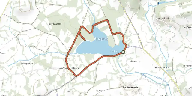
 Plan IGN © IGN 2026Etang NeufAuvergne-Rhône-Alpes, Montel-de-Gelat (63) · Loop
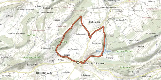 Plan IGN © IGN 2026Étangs du Bois du RoyBourgogne-Franche-Comté, Trévillers (25) · LoopOfficial rating by Département du Doubs
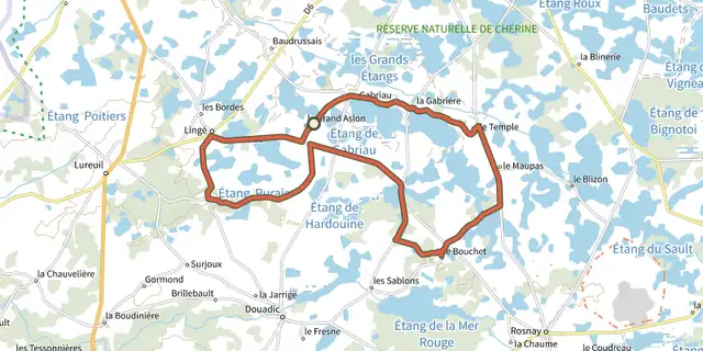
 Plan IGN © IGN 2026Etangs et buttons de BrenneCentre-Val de Loire, Lingé (36) · Loop
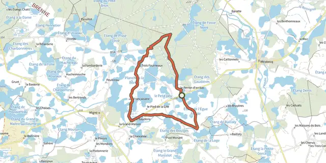 Plan IGN © IGN 2026 · track © OpenStreetMapÉtangs, forêts et buttonsCentre-Val de Loire, Migné (36) · Loop
 Plan IGN © IGN 2026Saint-Cyrice - L'ancienne Saint-CyriceProvence-Alpes-Côte d'Azur, Étoile-Saint-Cyrice (05) · LoopOfficial rating by Parcs naturels régionaux de Provence-Alpes-Côte d'Azur
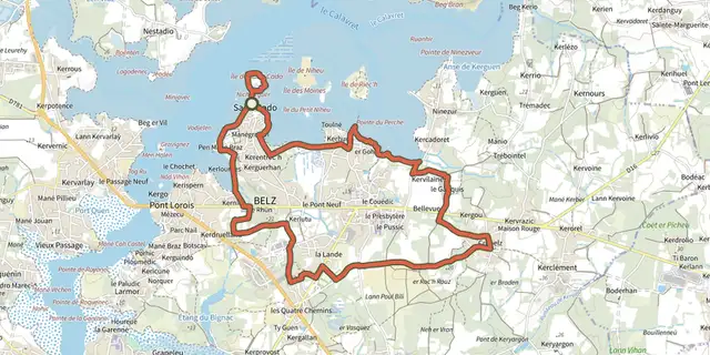 Plan IGN © IGN 2026 · track © OpenStreetMapEtre douar ar morBrittany, Belz (56) · Loop
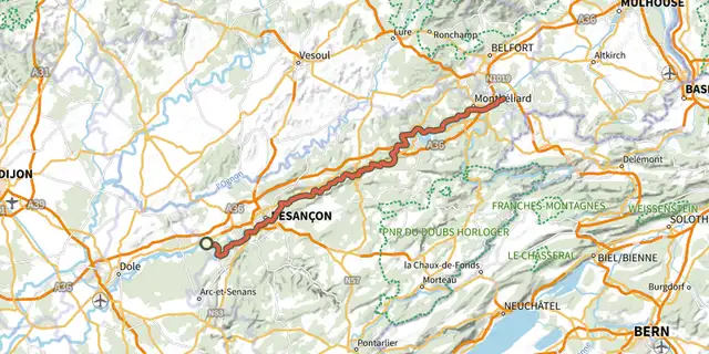 Plan IGN © IGN 2026EuroVelo 6Bourgogne-Franche-Comté, Saint-Vit (25) · Point to pointOfficial rating by Département du Doubs
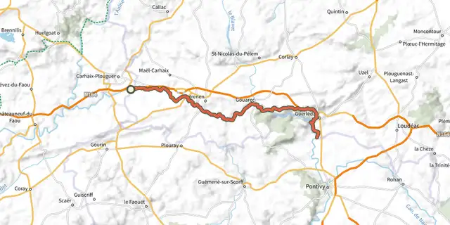 Plan IGN © IGN 2026EV1 - La Vélodyssée®Brittany, Carhaix-Plouguer (29) · Point to point
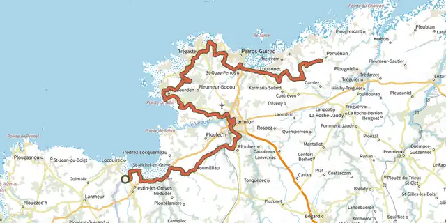 Plan IGN © IGN 2026EV4 - La Vélomaritime® - section 1/5Brittany · Out and backOfficial rating by Département des Côtes d'Armor
 Plan IGN © IGN 2026EV4 - La Vélomaritime® - section 2/5Brittany, Penvénan (22) · Out and backOfficial rating by Département des Côtes d'Armor
 Plan IGN © IGN 2026EV4 - La Vélomaritime® - section 3/5Brittany, Lanloup (22) · Point to point
 Plan IGN © IGN 2026EV4 - La Vélomaritime® - section 4/5Brittany, Pordic (22) · Out and backOfficial rating by Département des Côtes d'Armor
 Plan IGN © IGN 2026EV4 - La Vélomaritime® - section 5/5Brittany, Pléneuf-Val-André (22) · Out and backOfficial rating by Département des Côtes d'Armor
 Plan IGN © IGN 2026Evry-CourcouronnesÎle-de-France, Ris-Orangis (91) · Loop
 Plan IGN © IGN 2026Évry-Courcouronnes, Bondoufle et LissesÎle-de-France, Évry-Courcouronnes (91) · Loop
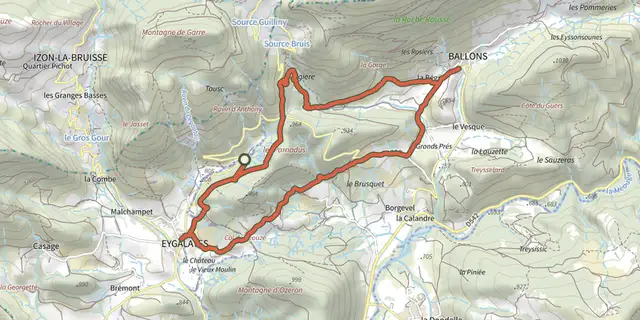 Plan IGN © IGN 2026Eygalayes - Le sentier de la libertéAuvergne-Rhône-Alpes, Ballons (26) · LoopOfficial rating by Parcs naturels régionaux de Provence-Alpes-Côte d'Azur
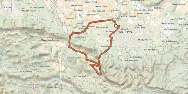 Plan IGN © IGN 2026Stroll of the Petit CalanProvence-Alpes-Côte d'Azur, Eygalières (13) · LoopOfficial rating by Parcs naturels régionaux de Provence-Alpes-Côte d'Azur
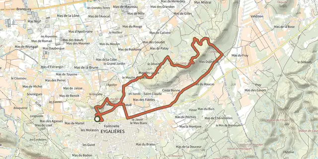 Plan IGN © IGN 2026Eygalieres - Du Contras à la chapelle Saint-SixteProvence-Alpes-Côte d'Azur, Eygalières (13) · LoopOfficial rating by Parcs naturels régionaux de Provence-Alpes-Côte d'Azur
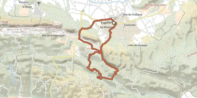 Plan IGN © IGN 2026Petit et Gros CalansProvence-Alpes-Côte d'Azur, Eygalières (13) · LoopOfficial rating by Parcs naturels régionaux de Provence-Alpes-Côte d'Azur
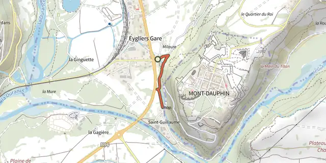 Plan IGN © IGN 2026Chapelle Saint-GuillaumeProvence-Alpes-Côte d'Azur, Eygliers (05) · Out and backOfficial rating by Parcs naturels régionaux de Provence-Alpes-Côte d'Azur
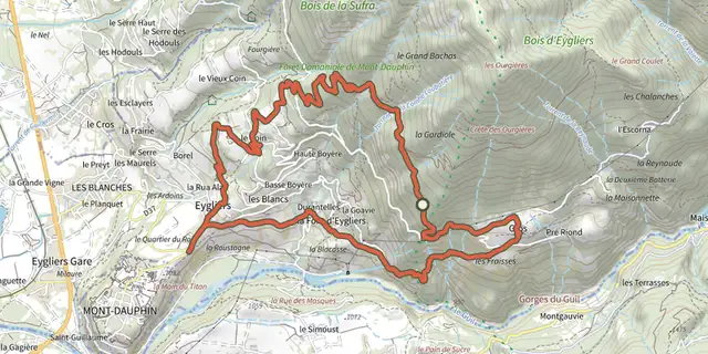 Plan IGN © IGN 2026Gardiole d'EygliersProvence-Alpes-Côte d'Azur, Eygliers (05) · LoopOfficial rating by Parcs naturels régionaux de Provence-Alpes-Côte d'Azur
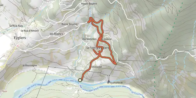 Plan IGN © IGN 2026Eygliers - Les Oasis enchantésProvence-Alpes-Côte d'Azur, Eygliers (05) · LoopOfficial rating by Parcs naturels régionaux de Provence-Alpes-Côte d'Azur
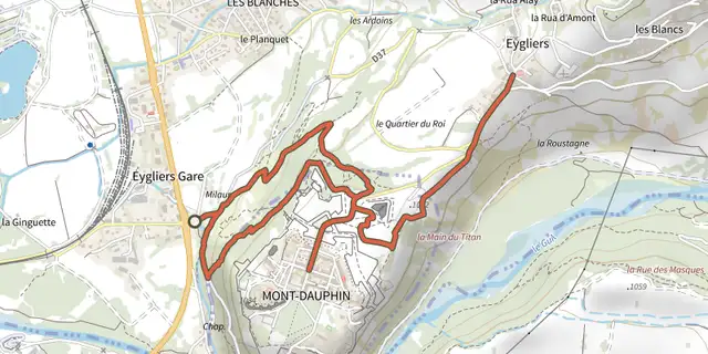 Plan IGN © IGN 2026Mont-Dauphin place forte et Eygliers chef-lieuProvence-Alpes-Côte d'Azur, Eygliers (05) · LoopOfficial rating by Parcs naturels régionaux de Provence-Alpes-Côte d'Azur
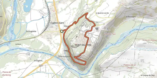 Plan IGN © IGN 2026Découverte de Mont-DauphinProvence-Alpes-Côte d'Azur, Eygliers (05) · LoopOfficial rating by Parcs naturels régionaux de Provence-Alpes-Côte d'Azur