
GPX tracks in France (page 146)
7,023 GPX tracks in France, with distance, elevation gain and time for each track. Pick a region on the map, then filter by department, sport, distance, elevation gain and time.
All GPX tracks in France
Activity : All activities

 Plan IGN © IGN 2026Kercabus - BOUCLE NORD DE GUERANDEPays de la Loire, Guérande (44) · Point to point

 Plan IGN © IGN 2026Kilomètre Vertical - FreissinièresÉcrins, Freissinières (05) · Out and backOfficial rating by Parc national des Écrins
 Plan IGN © IGN 2026Kilomètre Vertical - L'Argentière-la-BesséeÉcrins, L'Argentière-la-Bessée (05) · Out and backOfficial rating by Parc national des Écrins
 Plan IGN © IGN 2026Les Oriols (trail route no. 9)Provence-Alpes-Côte d'Azur, Saint-Martin-de-Queyrières (05) · Out and backOfficial rating by Parc national des Écrins
 Plan IGN © IGN 2026Kilomètre Vertical - Vallouise-PelvouxÉcrins, Vallouise-Pelvoux (05) · Out and backOfficial rating by Parc national des Écrins
 Plan IGN © IGN 2026Kilomètre vertical des FréauxÉcrins, La Grave (05) · Out and backOfficial rating by Parc national des Écrins
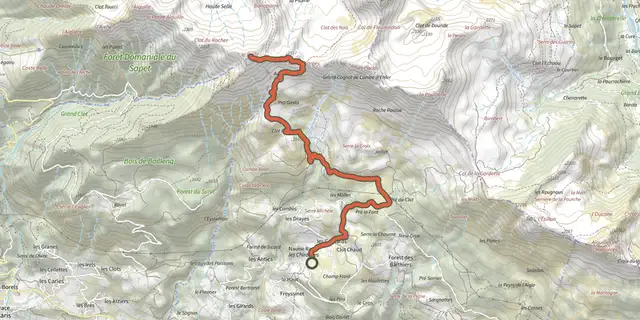 Plan IGN © IGN 2026Le Piolit vertical kilometreProvence-Alpes-Côte d'Azur, Chorges (05) · Out and backOfficial rating by Parc national des Écrins
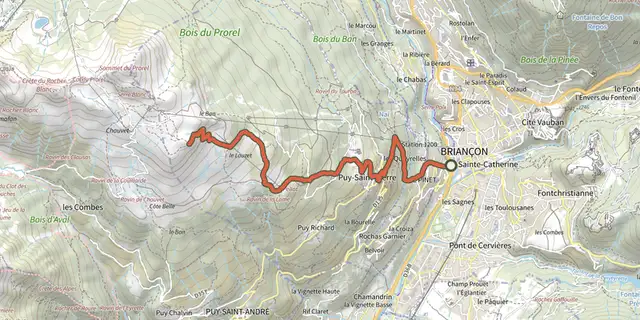 Plan IGN © IGN 2026KM vertical de Notre Dame des Neiges par les oratoiresProvence-Alpes-Côte d'Azur, Briançon (05) · Out and backOfficial rating by Parc national des Écrins
 Plan IGN © IGN 2026L 'Ecluse du Pas d'HericPays de la Loire, Nort-sur-Erdre (44) · LoopOfficial rating by Département de Loire-Atlantique

 Plan IGN © IGN 2026 · track © OpenStreetMapL'A Vall'ToutVosges, Laveline-du-Houx (88) · Loop
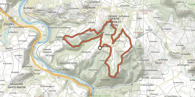 Plan IGN © IGN 2026L'Abbaye du BouschetAuvergne, Yronde-et-Buron (63) · Loop
 Plan IGN © IGN 2026L'AcheneauPays de la Loire, Saint-Mars-de-Coutais (44) · LoopOfficial rating by Département de Loire-Atlantique
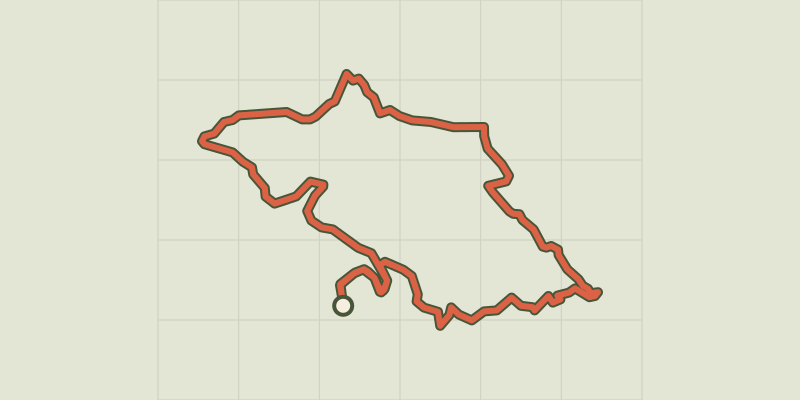 Plan IGN © IGN 2026The slopes of ChorgesProvence-Alpes-Côte d'Azur, Chorges (05) · LoopOfficial rating by Parc national des Écrins
 Plan IGN © IGN 2026L'AiguillonÉcrins, Villar-d'Arêne (05) · LoopOfficial rating by Parc national des Écrins
 Plan IGN © IGN 2026L'Aiguillon depuis les HièresÉcrins, La Grave (05) · Out and backOfficial rating by Parc national des Écrins
 Plan IGN © IGN 2026L'Alp du Pied et la Chapelle Sainte-Marie-MadeleineProvence-Alpes-Côte d'Azur, Cervières (05) · Out and backOfficial rating by Parc national des Écrins
 Plan IGN © IGN 2026The Tourond pastures and refugeProvence-Alpes-Côte d'Azur, Champoléon (05) · Out and backOfficial rating by Parc national des Écrins
 Plan IGN © IGN 2026The Alpe de Villar d'ArêneÉcrins, Villar-d'Arêne (05) · LoopOfficial rating by Parc national des Écrins
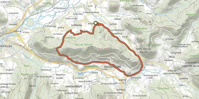 Plan IGN © IGN 2026 · track © OpenStreetMapL'AncerfVosges, La Neuveville-devant-Lépanges (88) · Loop
 Plan IGN © IGN 2026L'ancien Chêne PrésidentBourgogne-Franche-Comté, Nancray (25) · LoopOfficial rating by Département du Doubs
 Plan IGN © IGN 2026L'ancien fort de la Lausette depuis le LausProvence-Alpes-Côte d'Azur, Cervières (05) · Out and backOfficial rating by Parc national des Écrins
 Plan IGN © IGN 2026The old millCévennes, Chadenet (48) · LoopOfficial rating by Parc national des Cévennes
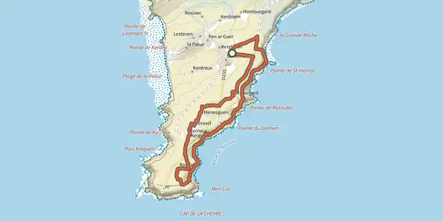 Plan IGN © IGN 2026 · track © OpenStreetMapL'Anse Saint-NicolasArmorique, Crozon (29) · Loop
 Plan IGN © IGN 2026The Arboretum and the River VisCévennes, Alzon (30) · LoopOfficial rating by Parc national des Cévennes