
GPX tracks in France (page 163)
7,023 GPX tracks in France, with distance, elevation gain and time for each track. Pick a region on the map, then filter by department, sport, distance, elevation gain and time.
All GPX tracks in France
Activity : All activities
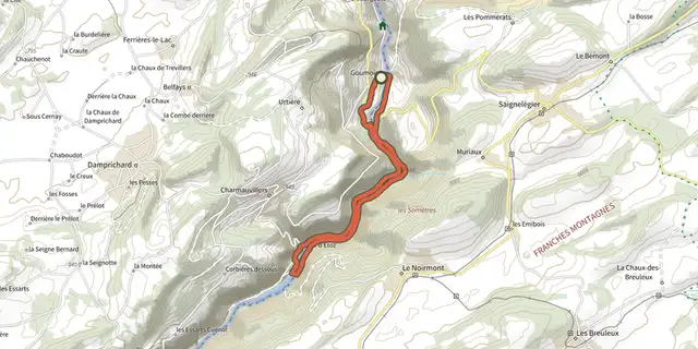
 Plan IGN © IGN 2026La Perle Franco-suisseBourgogne-Franche-Comté, Goumois (25) · LoopOfficial rating by Département du Doubs
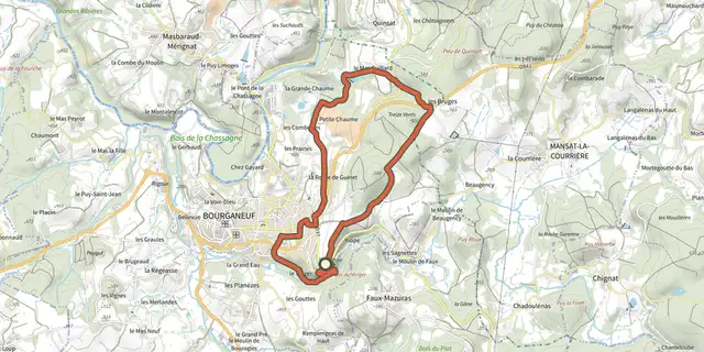 Plan IGN © IGN 2026 · track © OpenStreetMapLa PerrièreNouvelle-Aquitaine, Bourganeuf (23) · Loop
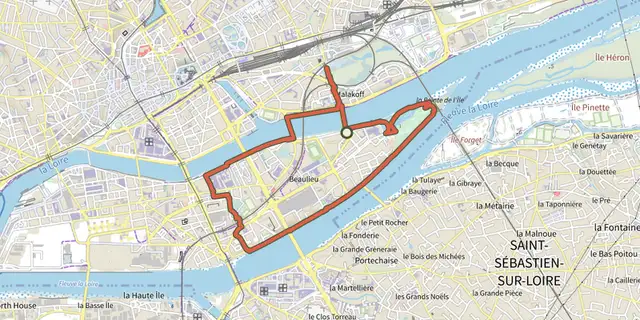 Plan IGN © IGN 2026La Petite AmazoniePays de la Loire, Nantes (44) · LoopOfficial rating by Département de Loire-Atlantique
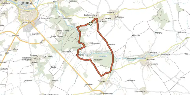
 Plan IGN © IGN 2026La petite Beauce à véloCentre-Val de Loire, Coulommiers-la-Tour (41) · Loop
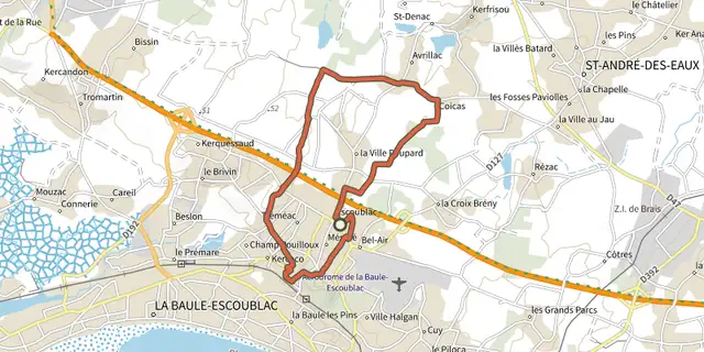 Plan IGN © IGN 2026La petite marchande"Pays de la Loire, La Baule-Escoublac (44) · LoopOfficial rating by Département de Loire-Atlantique
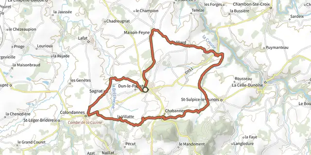 Plan IGN © IGN 2026 · track © OpenStreetMapLa petite reine dunoiseNouvelle-Aquitaine, Dun-le-Palestel (23) · Loop
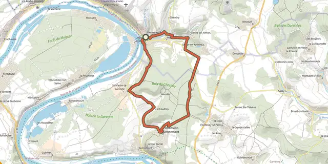 Plan IGN © IGN 2026 · track © OpenStreetMapLa Petite SuisseÎle-de-France, Vétheuil (95) · Loop
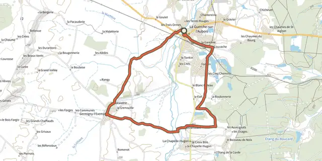 Plan IGN © IGN 2026La petite vadrouilleCentre-Val de Loire, La Guerche-sur-l'Aubois (18) · Loop
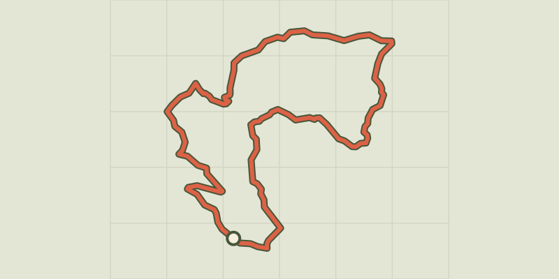 Plan IGN © IGN 2026La Peyre de l'aigleProvence-Alpes-Côte d'Azur, Chorges (05) · LoopOfficial rating by Parc national des Écrins
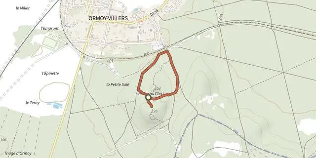 Plan IGN © IGN 2026 · track © OpenStreetMapLa Pierre au CoqHauts-de-France, Ormoy-Villers (60) · Loop
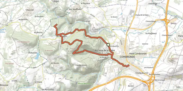 Plan IGN © IGN 2026La Pierre BranlanteAuvergne, Combronde (63) · Loop
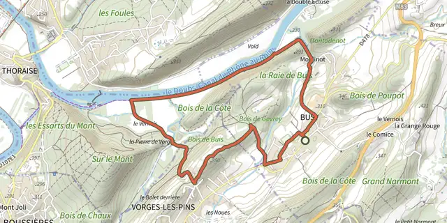 Plan IGN © IGN 2026La Pierre de VorgesBourgogne-Franche-Comté, Busy (25) · LoopOfficial rating by Département du Doubs
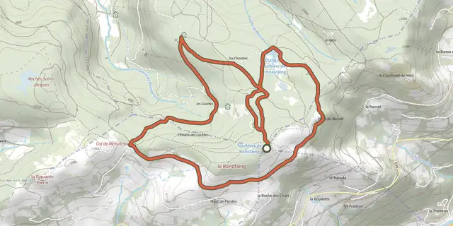 Plan IGN © IGN 2026 · track © OpenStreetMapLa Pierre des 4 communesVosges, La Bresse (88) · Loop
 Plan IGN © IGN 2026 · track © OpenStreetMapLa Pierre EnfouieBrittany, Landéan (35) · Loop
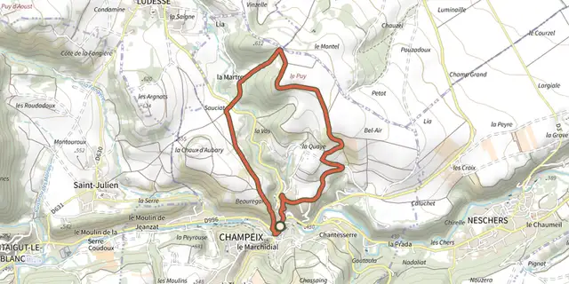 Plan IGN © IGN 2026La Pierre FichadeAuvergne, Champeix (63) · Loop
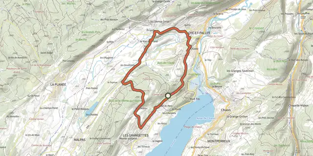 Plan IGN © IGN 2026La Pierre qui tourneBourgogne-Franche-Comté, Les Grangettes (25) · LoopOfficial rating by Département du Doubs
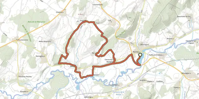
 Plan IGN © IGN 2026La Pierre qui Vire - n° 19Bourgogne-Franche-Comté, Marnay (70) · LoopOfficial rating by Département du Doubs
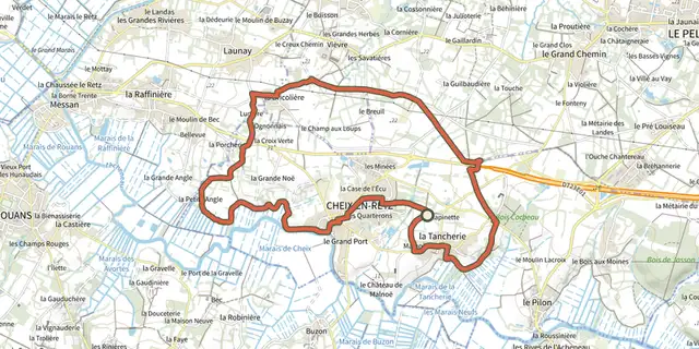 Plan IGN © IGN 2026La Pierre tremblantePays de la Loire, Cheix-en-Retz (44) · LoopOfficial rating by Département de Loire-Atlantique
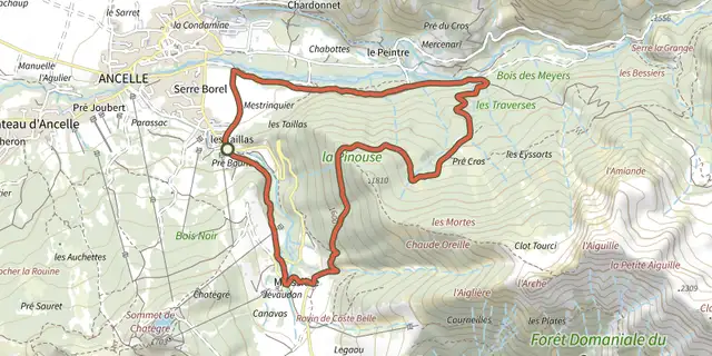 Plan IGN © IGN 2026La PinouseÉcrins, Ancelle (05) · LoopOfficial rating by Parc national des Écrins
 Plan IGN © IGN 2026 · track © OpenStreetMapLa Piste du PinNouvelle-Aquitaine, Clergoux (19) · Loop
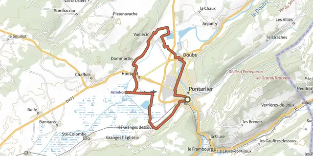
 Plan IGN © IGN 2026La Plaine de l'Arlier et ses zones humidesBourgogne-Franche-Comté, Pontarlier (25) · LoopOfficial rating by Département du Doubs
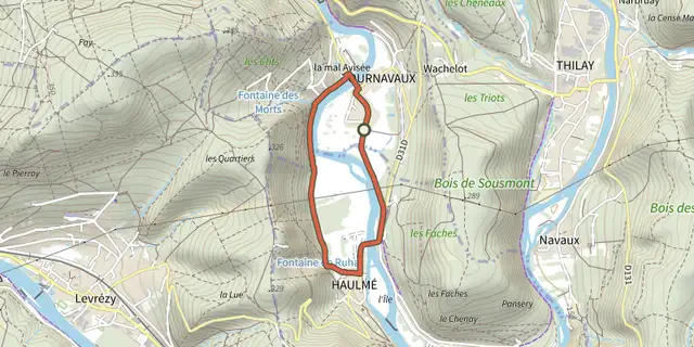 Plan IGN © IGN 2026 · track © OpenStreetMapLa Plaine de TournavauxGrand Est, Tournavaux (08) · Loop
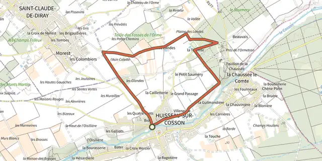 Plan IGN © IGN 2026 · track © OpenStreetMapLa Plaine des LandesCentre-Val de Loire, Huisseau-sur-Cosson (41) · Loop
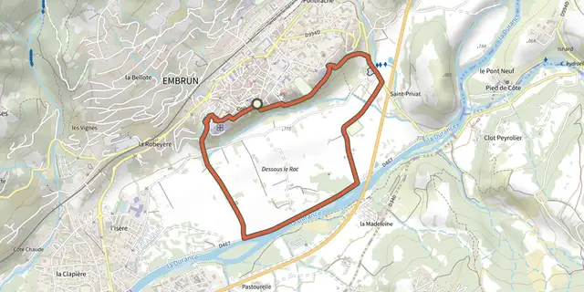 Plan IGN © IGN 2026La plaine sous le rocÉcrins, Embrun (05) · LoopOfficial rating by Parc national des Écrins