
La Peyre de l'aigle

Key facts
- Distance
- 5.0 km
- Ascent
- +330 m
- Descent
- −318 m
- Estimated time
- 1 hr 55
- hiking
- Difficulty
- Easy
- official rating
- Route
- Loop
- back to the start
Profile and gradient
- under 10%
- 10 to 20%
- over 20%
Gradient along the route: 1.6 km under 10%, 2.9 km at 10 to 20% and 0.5 km over 20%. Elevation from 1,355 m to 1,675 m over 5.0 km.
Description
A route with a diversity of landscapes. Start out on gravel paths with uninterrupted views of the Morgon peak and Serre-Ponçon lake, before finally reaching sub-alpine levels and entering the realm of the larch. An adventure boasting panoramic views of the Morgon peak and Lake serre Ponçon. At the foot of the Aiguilles de Charbrieres, enjoy the shade of the larch trees after an energetic but well-signposted and relatively gentle climb. Skirt the larches to emerge at the foot of the Aiguilles de Chabrières and return to the starting point. 1) Take the uphill track on your left for about 1.5 km. When you reach the farm track, go straight ahead along the well-marked, fairly steep path until you come to a track that you have to cross to follow an ascending path that veers slightly to the right towards the "Peyre de l'Aigle". 2) Continue straight on to the Peyre de l'Aigle and bear right to stay on the path 3) Descend, staying on the main track before taking a faint path to the left, which leads downhill along an old path lined with old stone walls. 4) At the sheepfold, turn right to join the track below, which you take on the right to get back to the starting point.
Difficulty
Official rating: easy, by Parc national des Écrins.
Getting there
Start: Hameau de la Blache, Chorges (05).
Sources
- Track: Parc national des Écrins, Licence Ouverte 2.0, Licence Ouverte 2.0 (Etalab) (destination.ecrins-parcnational.fr/trek/996033-La-Peyre-de-l-aigle). Time estimated by GPX Path with the Mac app rule, breaks not included.
- Official elevation gain: 330 m, Parc national des Écrins
Nearby tracks

 © OpenStreetMap, SRTM · OpenTopoMap (CC-BY-SA)
[Sens Action] - Les géants de pierre (the stone giants) and the lion de Salados (lion of Salados)
Provence-Alpes-Côte d'Azur, Chorges (05) · LoopOfficial rating by Parc national des Écrins © OpenStreetMap, SRTM · OpenTopoMap (CC-BY-SA)
Le Piolit via the Col de Chorges
Provence-Alpes-Côte d'Azur, Chorges (05) · Out and backOfficial rating by Parc national des Écrins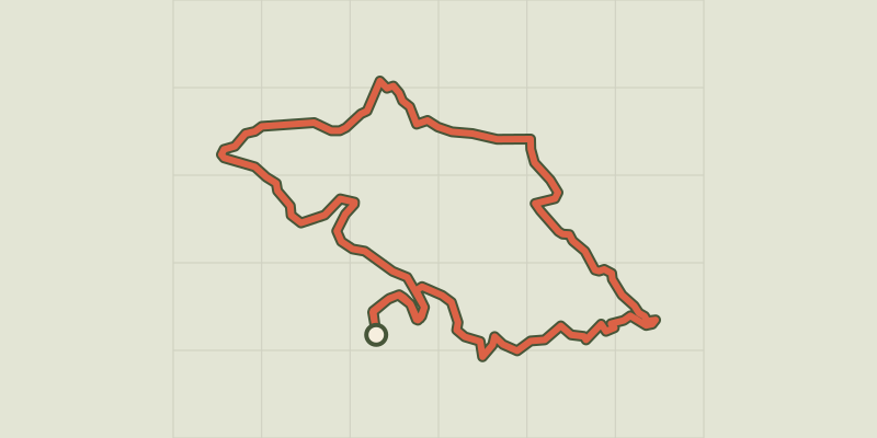 © OpenStreetMap, SRTM · OpenTopoMap (CC-BY-SA)
The slopes of Chorges
Provence-Alpes-Côte d'Azur, Chorges (05) · LoopOfficial rating by Parc national des Écrins © OpenStreetMap, SRTM · OpenTopoMap (CC-BY-SA)
Combebelle
Provence-Alpes-Côte d'Azur, Chorges (05) · LoopOfficial rating by Parc national des Écrins © OpenStreetMap, SRTM · OpenTopoMap (CC-BY-SA)
Col de la Gardette
Provence-Alpes-Côte d'Azur, Chorges (05) · Out and backOfficial rating by Parc national des Écrins © OpenStreetMap, SRTM · OpenTopoMap (CC-BY-SA)
Les Antics le Truchet
Provence-Alpes-Côte d'Azur, Chorges (05) · LoopOfficial rating by Parc national des Écrins