
La plaine sous le roc

Key facts
- Distance
- 4.1 km
- Ascent
- +108 m
- Descent
- −103 m
- Estimated time
- 1 hr 10
- hiking
- Difficulty
- Easy
- official rating
- Route
- Loop
- back to the start
Profile and gradient
- under 10%
- 10 to 20%
- over 20%
Gradient along the route: 3.5 km under 10%, 0.5 km at 10 to 20% and 0.1 km over 20%. Elevation from 781 m to 864 m over 4.1 km.
Description
Make your way between the tumultuous Durance, and the tranquillity of the fields, under the benevolent gaze of the town of Embrun. From the town's ramparts, overlooking the plain below the Roc, enjoy this viewpoint as a family, as well as the many informative panels that accompany it. From the Roc, descend to the plain for a peaceful loop along the Durance. This stretch of farmland is a real treasure trove of biodiversity. From the car park, turn left towards the promenade on the banks of the Roc. From there, walk along the wall at the edge of the Roc. Go behind the handling and stadium, where you'll find a wooden footbridge. Cross the bridge, then at the end, take the track on the right at a place called "les Rochassons" . - Descend the path and rejoin the road. - From here turn right at the side of the road. Head past the power station, then take the second road downhill towards the rugby stadium. After the stadium, follow the path. - Once you reach the road, at the "chemin du stade" turn right towards "Chaffal d'en Bas", along the banks of the Durance. At "Le Chaffal d'en bas", take the road to the right and follow the canal towards La Ville. At the crossroads, near the fountain, go straight ahead and take the dirt track at "Le Chaffal 1" towards Les Moulineaux. - Ascend as far as the car park. At the top, take the stairs leading up to the ramparts on the right. Walk past the hospital and continue along the street until you reach the Cathédrale Notre-Dame-du-Réal d'Embrun, then the car park just behind it.
Difficulty
Official rating: easy, by Parc national des Écrins.
Getting there
Start: parking de la tour Brune, Embrun (05).
Sources
- Track: Parc national des Écrins, Licence Ouverte 2.0, Licence Ouverte 2.0 (Etalab) (destination.ecrins-parcnational.fr/trek/976026-La-plaine-sous-le-roc). Time estimated by GPX Path with the Mac app rule, breaks not included.
- Official elevation gain: 108 m, Parc national des Écrins
Nearby tracks

 © OpenStreetMap, SRTM · OpenTopoMap (CC-BY-SA)
Lake
Écrins, Embrun (05) · LoopOfficial rating by Parc national des Écrins © OpenStreetMap, SRTM · OpenTopoMap (CC-BY-SA)
The Liou wetland
Écrins, Baratier (05) · Out and backOfficial rating by Parc national des Écrins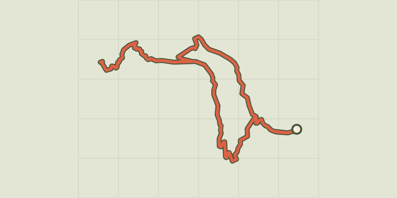 © OpenStreetMap, SRTM · OpenTopoMap (CC-BY-SA)
Lac de l'Hivernet
Écrins, Embrun (05) · LoopOfficial rating by Parc national des Écrins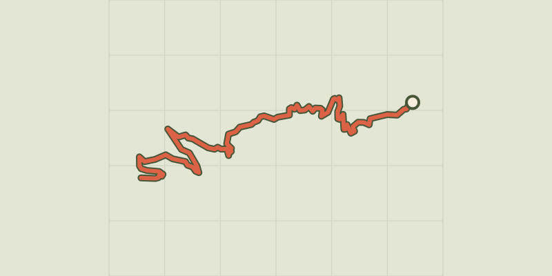 © OpenStreetMap, SRTM · OpenTopoMap (CC-BY-SA)
The Mont Guillaume
Écrins, Embrun (05) · Out and backOfficial rating by Parc national des Écrins © OpenStreetMap, SRTM · OpenTopoMap (CC-BY-SA)
Cabane de l'Aiguille loop
Écrins, Embrun (05) · LoopOfficial rating by Parc national des Écrins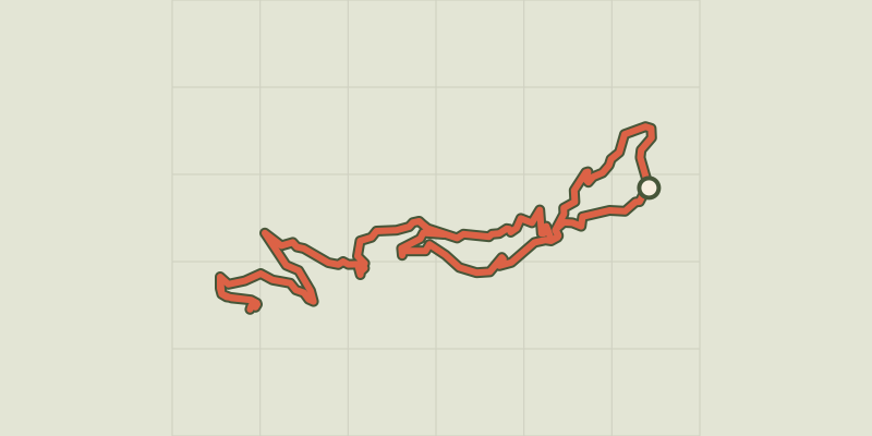 © OpenStreetMap, SRTM · OpenTopoMap (CC-BY-SA)
Mont Guillaume, Seyères chapel
Écrins, Embrun (05) · LoopOfficial rating by Parc national des Écrins