
GPX tracks in France (page 181)
6,956 GPX tracks in France, with distance, elevation gain and time for each track. Pick a region on the map, then filter by department, sport, distance, elevation gain and time.
All GPX tracks in France
Activity : All activities

 Plan IGN © IGN 2026 · track © OpenStreetMap
Le Dieu Baldur
Vosges, Dabo (57) · Loop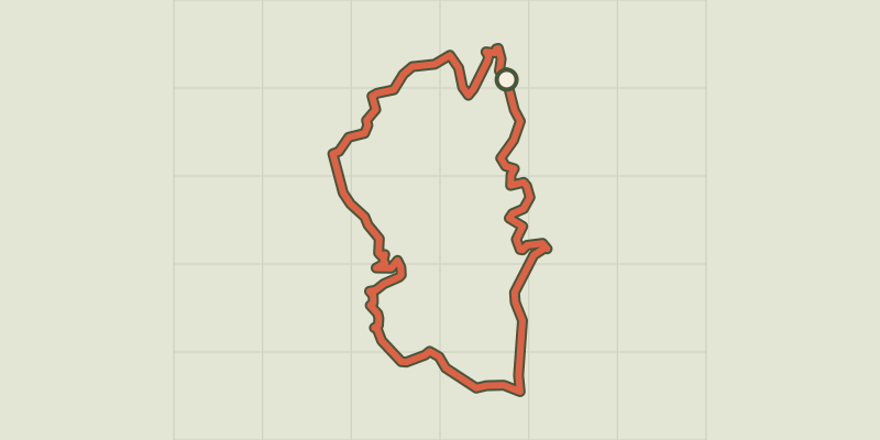 Plan IGN © IGN 2026
Le Dolmen du Thort
Occitanie, La Bastide-Puylaurent (48) · LoopOfficial rating by Parc national des Cévennes Plan IGN © IGN 2026
Le Domaine de Vort
Auvergne, Orbeil (63) · Loop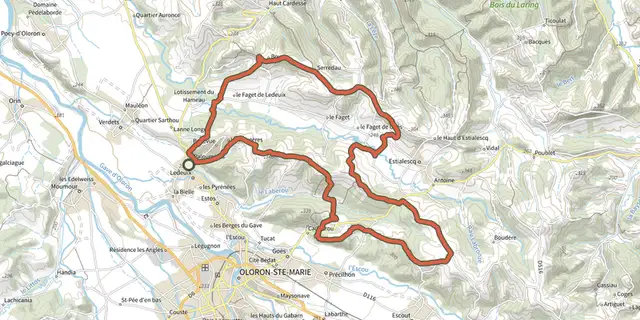
 Plan IGN © IGN 2026 · track © OpenStreetMap
Le Faget
Nouvelle-Aquitaine, Ledeuix (64) · Loop Plan IGN © IGN 2026
Le Faux Verger - n° 19
Bourgogne-Franche-Comté, Maîche (25) · LoopOfficial rating by Département du Doubs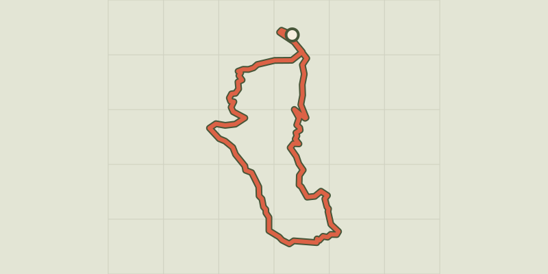 Plan IGN © IGN 2026
Le Fein
Provence-Alpes-Côte d'Azur, Chorges (05) · LoopOfficial rating by Parc national des Écrins Plan IGN © IGN 2026
Le Fer à Cheval
Bourgogne-Franche-Comté, Pontarlier (25) · LoopOfficial rating by Département du Doubs Plan IGN © IGN 2026
Le Fer à Cheval (Variante)
Bourgogne-Franche-Comté, Pontarlier (25) · LoopOfficial rating by Département du Doubs Plan IGN © IGN 2026 · track © OpenStreetMap
Le fief du Thélin
Brittany, Plélan-le-Grand (35) · Loop Plan IGN © IGN 2026
Le Font d'Igon
Nouvelle-Aquitaine, Usseau (86) · Loop Plan IGN © IGN 2026
Le Fort
Écrins, Réallon (05) · LoopOfficial rating by Parc national des Écrins Plan IGN © IGN 2026
Le Fort de Joux - n° 80
Bourgogne-Franche-Comté, Pontarlier (25) · LoopOfficial rating by Département du Doubs
 Plan IGN © IGN 2026
Le fort de l'Infernet
Provence-Alpes-Côte d'Azur, Briançon (05) · LoopOfficial rating by Parc national des Écrins Plan IGN © IGN 2026
Le fort des Salettes depuis La Vachette
Provence-Alpes-Côte d'Azur, Val-des-Prés (05) · Out and backOfficial rating by Parc national des Écrins Plan IGN © IGN 2026
Le Fossat
Cévennes, Altier (48) · LoopOfficial rating by Parc national des Cévennes Plan IGN © IGN 2026
Le Franco-Suisse - n° 10
Bourgogne-Franche-Comté, Pontarlier (25) · LoopOfficial rating by Département du Doubs Plan IGN © IGN 2026 · track © OpenStreetMap
Le Fréchou, le pays des frênes - 4.6 km
Nouvelle-Aquitaine, Fréchou (47) · Loop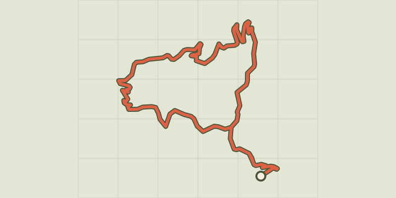 Plan IGN © IGN 2026
Le Gardonnet
Cévennes, Saint-Hilaire-de-Lavit (48) · LoopOfficial rating by Parc national des Cévennes Plan IGN © IGN 2026 · track © OpenStreetMap
Le Garry
Centre-Val de Loire, Neung-sur-Beuvron (41) · Loop Plan IGN © IGN 2026 · track © OpenStreetMap
Le Géhant
Vosges, Saulxures-sur-Moselotte (88) · Loop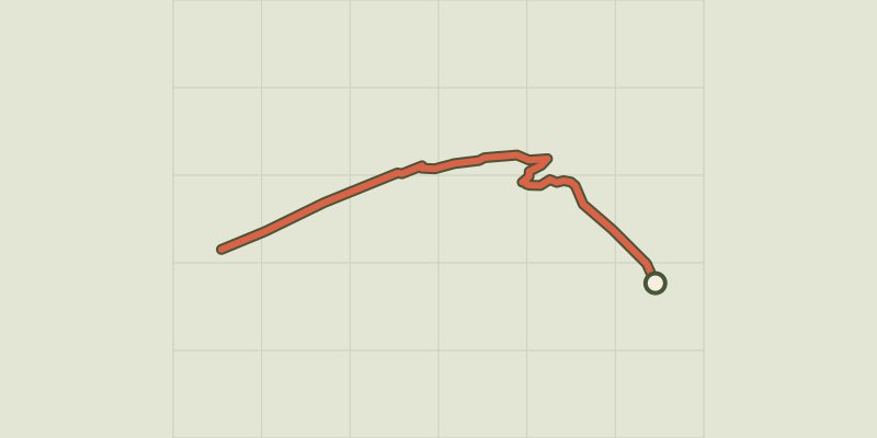 Plan IGN © IGN 2026
Le glacier Noir
Écrins, Vallouise-Pelvoux (05) · Out and backOfficial rating by Parc national des Écrins Plan IGN © IGN 2026
Le Goulet
Occitanie, Mont Lozère et Goulet (48) · LoopOfficial rating by Parc national des Cévennes Plan IGN © IGN 2026
Le Gour de Tazenat
Auvergne, Charbonnières-les-Vieilles (63) · Loop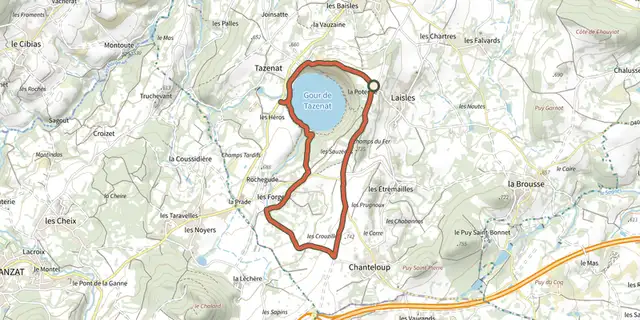 Plan IGN © IGN 2026
Le Gour de Tazenat
Auvergne, Charbonnières-les-Vieilles (63) · Loop