
Le Fein

Key facts
- Distance
- 12.1 km
- Ascent
- +384 m
- Descent
- −346 m
- Estimated time
- 1 hr 35
- mtb
- Difficulty
- Moderate
- official rating
- Route
- Loop
- back to the start
Profile and gradient
- under 10%
- 10 to 20%
- over 20%
Gradient along the route: 9.7 km under 10% and 2.4 km at 10 to 20%. Elevation from 851 m to 1,085 m over 12.1 km.
Description
A rural route offering uninterrupted views of Chorges and its mountains. The loop of Le Fein guarantees a fun and enjoyable itinerary for mountain bikers of all abilities, with the aiguilles de Chabrières and the Piolit, which overlook the town of Chorges and the Serre-Ponçon lake, as a backdrop. - From the SNCF station, head towards Intermarché, then cross the level crossing and continue to the left. Before the level crossing, turn right towards "Le Fein". - When the path descends again turn left and continue on the wide path. - At "Clot Minet" turn right towards "Fein", continue on the widest path uphill. Once you reach le "Fein" and cross the hamlet. - Take the road down towards Chorges, then take the single track on the right. - Take the road on the left. After 500 metres, leave the road and turn right onto a track. At the next intersection, turn left towards Grand Chatêlard. - Return to the road on the left and take the outward route.
Difficulty
Official rating: moderate, by Parc national des Écrins.
Getting there
Start: Chorges, Chorges (05).
Sources
- Track: Parc national des Écrins, Licence Ouverte 2.0, Licence Ouverte 2.0 (Etalab) (destination.ecrins-parcnational.fr/trek/996471-N17---Le-Fein). Time estimated by GPX Path with the Mac app rule, breaks not included.
- Official elevation gain: 384 m, Parc national des Écrins
Nearby tracks
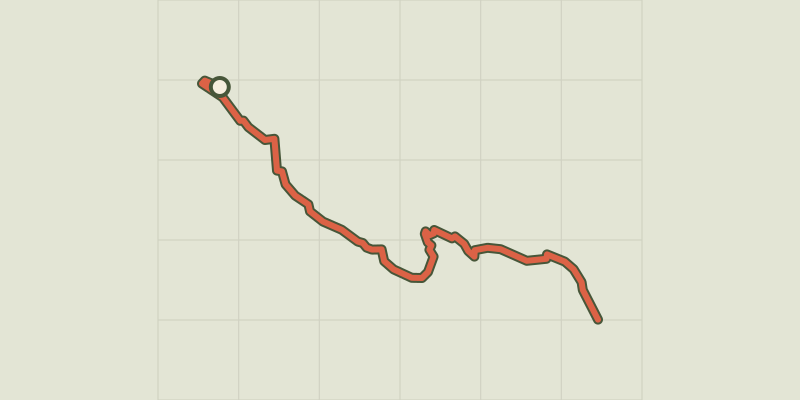
 © OpenStreetMap, SRTM · OpenTopoMap (CC-BY-SA)
De Chorges à la Baie Saint-Michel en VTT ou Gravel
Provence-Alpes-Côte d'Azur, Chorges (05) · Point to pointOfficial rating by Parc national des Écrins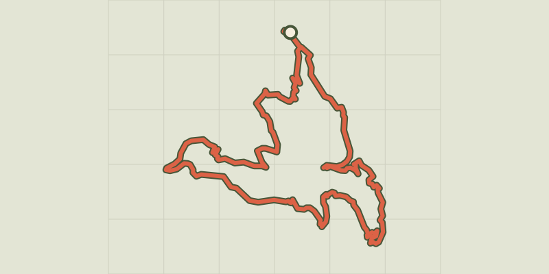 © OpenStreetMap, SRTM · OpenTopoMap (CC-BY-SA)
Serre Renard
Provence-Alpes-Côte d'Azur, Chorges (05) · LoopOfficial rating by Parc national des Écrins © OpenStreetMap, SRTM · OpenTopoMap (CC-BY-SA)
Chanteloube mountain bike loop
Provence-Alpes-Côte d'Azur, Chorges (05) · LoopOfficial rating by Parc national des Écrins © OpenStreetMap, SRTM · OpenTopoMap (CC-BY-SA)
Le lac de Saint-Apollinaire
Écrins, Saint-Apollinaire (05) · LoopOfficial rating by Parc national des Écrins © OpenStreetMap, SRTM · OpenTopoMap (CC-BY-SA)
Enduro de Joubelle
Écrins, Réallon (05) · Point to pointOfficial rating by Parc national des Écrins © OpenStreetMap, SRTM · OpenTopoMap (CC-BY-SA)
the Sauze balconies
Provence-Alpes-Côte d'Azur, Le Sauze-du-Lac (05) · LoopOfficial rating by Parc national des Écrins