
GPX tracks in France (page 193)
6,868 GPX tracks in France, with distance, elevation gain and time for each track. Pick a region on the map, then filter by department, sport, distance, elevation gain and time.
All GPX tracks in France
Activity : All activities
 Plan IGN © IGN 2026
Le sentier du Glavin
Auvergne, Mazaye (63) · Loop Plan IGN © IGN 2026
Le sentier du landais
Périgord, Saint-Jean-d'Estissac (24) · Loop Plan IGN © IGN 2026
The Puy Saint-Vincent Heritage Path
Écrins, Puy-Saint-Vincent (05) · Out and backOfficial rating by Parc national des Écrins Plan IGN © IGN 2026
Le sentier du Pisé
Auvergne, Sermentizon (63) · Loop Plan IGN © IGN 2026
Le sentier du Roy
Écrins, La Motte-en-Champsaur (05) · LoopOfficial rating by Parc national des Écrins Plan IGN © IGN 2026
The ridge
Cévennes, Sumène (30) · LoopOfficial rating by Parc national des Cévennes Plan IGN © IGN 2026
Le Serre du bois
Provence-Alpes-Côte d'Azur, Chorges (05) · LoopOfficial rating by Parc national des Écrins Plan IGN © IGN 2026
Serre du Mouton
Écrins, Réallon (05) · Out and backOfficial rating by Parc national des Écrins Plan IGN © IGN 2026
Le Signal de La Grave
Écrins, La Grave (05) · LoopOfficial rating by Parc national des Écrins Plan IGN © IGN 2026
Le Signal du Luguet
Auvergne, Anzat-le-Luguet (63) · Loop
 Plan IGN © IGN 2026
Le Single (by mountain-bike)
Cévennes, Ispagnac (48) · LoopOfficial rating by Parc national des Cévennes Plan IGN © IGN 2026
Le Sioulet
Auvergne, Miremont (63) · Loop Plan IGN © IGN 2026 · track © OpenStreetMap
Le Slecard
Vosges, Saint-Nabord (88) · Loop Plan IGN © IGN 2026 · track © OpenStreetMap
Le Slecard
Vosges, Saint-Nabord (88) · Loop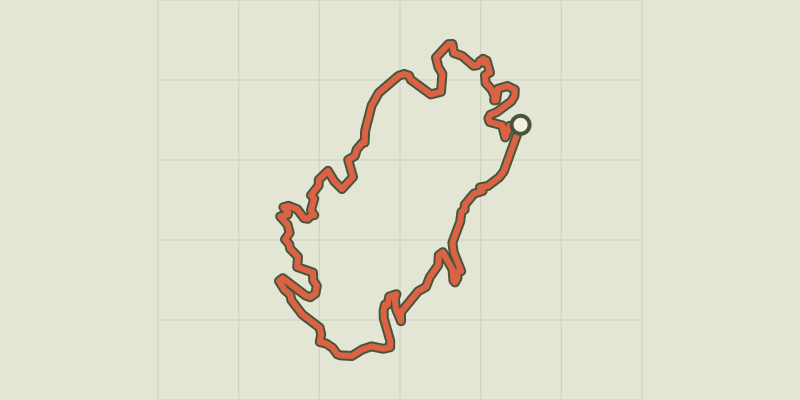 Plan IGN © IGN 2026 · track © OpenStreetMap
Le Slecard
Vosges, Saint-Nabord (88) · Loop Plan IGN © IGN 2026 · track © OpenStreetMap
Le Slecard
Vosges, Saint-Nabord (88) · Loop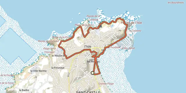 Plan IGN © IGN 2026
Le soleil levant
Brittany, Saint-Cast-le-Guildo (22) · LoopOfficial rating by Département des Côtes d'Armor Plan IGN © IGN 2026
Le sommet du Prorel
Provence-Alpes-Côte d'Azur, Puy-Saint-Pierre (05) · Out and backOfficial rating by Parc national des Écrins Plan IGN © IGN 2026
Souls
Cévennes, Bréau-Mars (30) · LoopOfficial rating by Parc national des Cévennes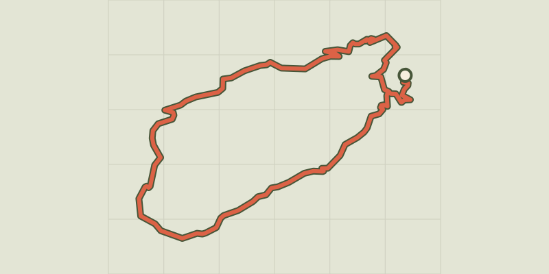 Plan IGN © IGN 2026
Le Soult
Cévennes, L'Estréchure (30) · LoopOfficial rating by Parc national des Cévennes Plan IGN © IGN 2026 · track © OpenStreetMap
Le Soum de Thès
Pyrenees, Ance Féas (64) · Loop Plan IGN © IGN 2026
Le Spernot de Keravelloc à la Brasserie
Brittany, Brest (29) · Point to point Plan IGN © IGN 2026
Le Stratégique
Bourgogne-Franche-Comté, Les Fourgs (25) · LoopOfficial rating by Département du Doubs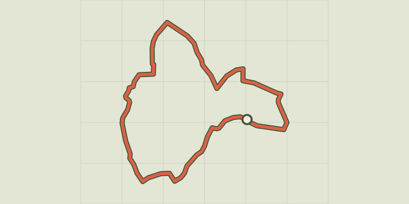 Plan IGN © IGN 2026 · track © OpenStreetMap
Le Suin, du calcaire à l'argile
Centre-Val de Loire, Douadic (36) · Loop