
Le Serre du bois

Key facts
- Distance
- 4.5 km
- Ascent
- +238 m
- Descent
- −220 m
- Estimated time
- 1 hr 30
- hiking
- Difficulty
- Very easy
- official rating
- Route
- Loop
- back to the start
Profile and gradient
- under 10%
- 10 to 20%
- over 20%
Gradient along the route: 2.4 km under 10%, 2.0 km at 10 to 20% and 0.1 km over 20%. Elevation from 808 m to 1,034 m over 4.5 km.
Description
This route is accessible to all and offers some beautiful panoramic views of the Pic du Morgon, Dormillouse and Lake Serre-Ponçon. The little sister of the "Les Glaisolles" route, this shorter walk offers a similar atmosphere. On the menu: scrubland, black marl, views of the lake and surrounding peaks. A lovely walk on which you can enjoy the peace and beauty of Lake Serre-Ponçon. 1) Head down the road towards Les Hyvans. At the hairpin bend, level with the tennis courts, take the path on the right and quickly turn right onto a stony path that rises quickly. 2) Continue on this path for 2 km before turning right at the Col Lebraut. 3) Descend on this path until you reach the road, then turn right. Continue along this stretch of road back to your starting point.
Difficulty
Official rating: very easy, by Parc national des Écrins.
Getting there
Start: Parking des Hyvans, Chorges (05).
Sources
- Track: Parc national des Écrins, Licence Ouverte 2.0, Licence Ouverte 2.0 (Etalab) (destination.ecrins-parcnational.fr/trek/996109-Le-Serre-du-bois). Time estimated by GPX Path with the Mac app rule, breaks not included.
- Official elevation gain: 238 m, Parc national des Écrins
Nearby tracks

 © OpenStreetMap, SRTM · OpenTopoMap (CC-BY-SA)
Les Glaisolles
Provence-Alpes-Côte d'Azur, Chorges (05) · LoopOfficial rating by Parc national des Écrins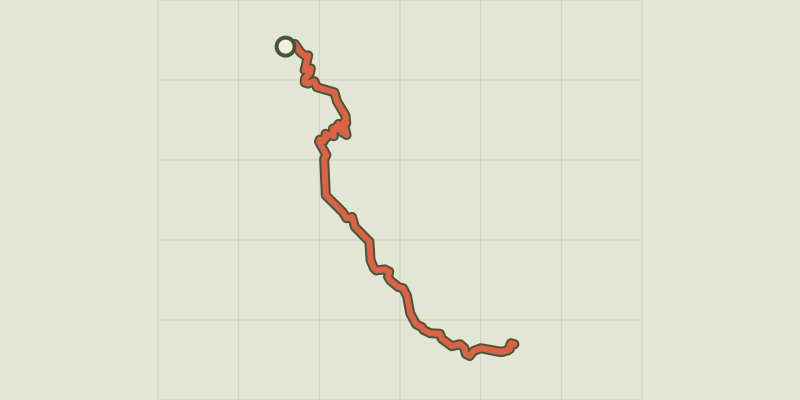 © OpenStreetMap, SRTM · OpenTopoMap (CC-BY-SA)
Port St-Pierre
Provence-Alpes-Côte d'Azur, Le Sauze-du-Lac (05) · Out and backOfficial rating by Parc national des Écrins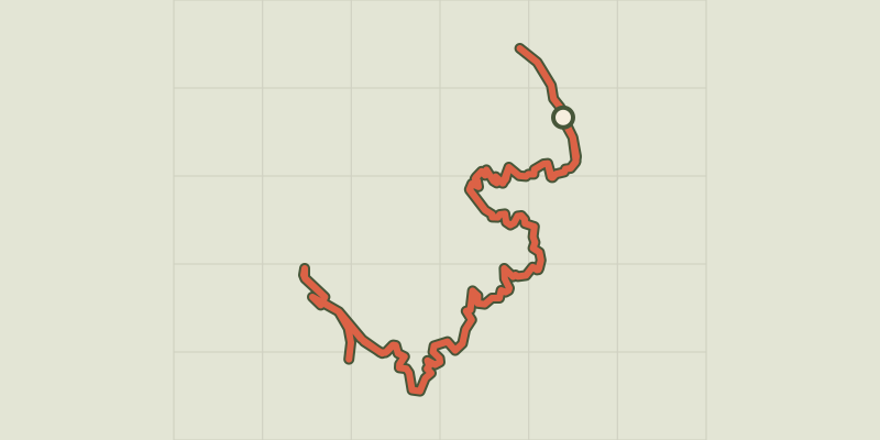 © OpenStreetMap, SRTM · OpenTopoMap (CC-BY-SA)
Sentier du bord de Lac - Lakeshore path
Provence-Alpes-Côte d'Azur, Chorges (05) · Out and backOfficial rating by Parc national des Écrins © OpenStreetMap, SRTM · OpenTopoMap (CC-BY-SA)
Sentier des Curattes - Les Curattes path
Provence-Alpes-Côte d'Azur, Chorges (05) · LoopOfficial rating by Parc national des Écrins © OpenStreetMap, SRTM · OpenTopoMap (CC-BY-SA)
Clot-Clavary
Provence-Alpes-Côte d'Azur, Chorges (05) · LoopOfficial rating by Parc national des Écrins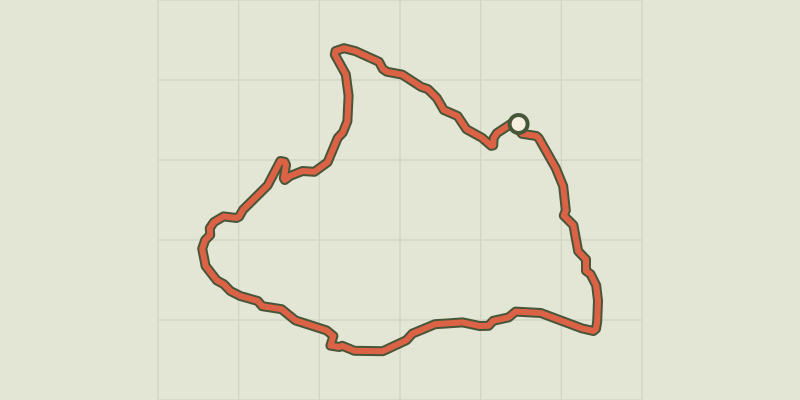 © OpenStreetMap, SRTM · OpenTopoMap (CC-BY-SA)
Bois Seignières
Provence-Alpes-Côte d'Azur, Chorges (05) · LoopOfficial rating by Parc national des Écrins