
GPX tracks in France (page 254)
7,023 GPX tracks in France, with distance, elevation gain and time for each track. Pick a region on the map, then filter by department, sport, distance, elevation gain and time.
All GPX tracks in France
Activity : All activities
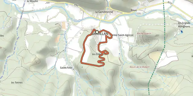
 Plan IGN © IGN 2026SAVOILLAN, Art et PatrimoineMont Ventoux, Savoillan (84) · LoopOfficial rating by Parcs naturels régionaux de Provence-Alpes-Côte d'Azur
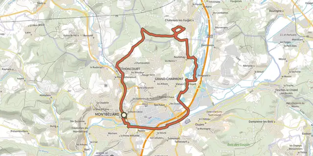
 Plan IGN © IGN 2026Savoure MontbéliardBourgogne-Franche-Comté, Montbéliard (25) · LoopOfficial rating by Département du Doubs
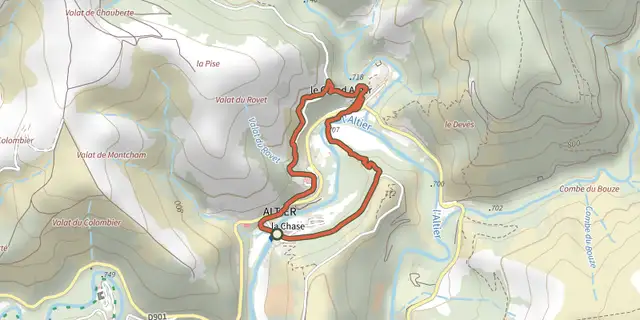 Plan IGN © IGN 2026Sculptures en libertéCévennes, Altier (48) · LoopOfficial rating by Parc national des Cévennes
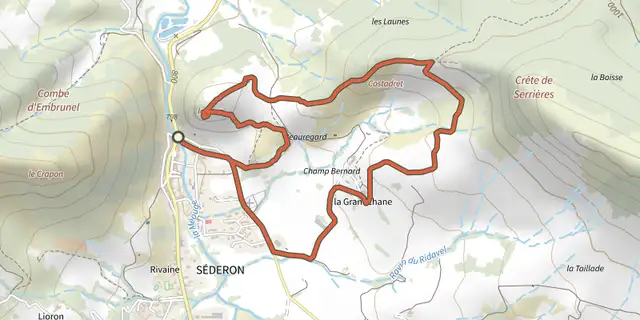 Plan IGN © IGN 2026Séderon - La crête de CostadretAuvergne-Rhône-Alpes, Séderon (26) · LoopOfficial rating by Parcs naturels régionaux de Provence-Alpes-Côte d'Azur
 Plan IGN © IGN 2026 · track © OpenStreetMapSégalas, la balade familiale du Grand ChampNouvelle-Aquitaine, Ségalas (47) · Loop
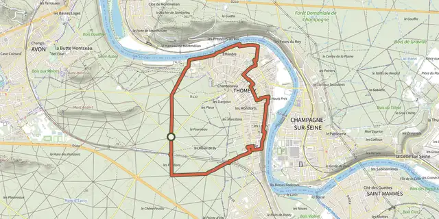 Plan IGN © IGN 2026 · track © OpenStreetMapSeine, Murs et ForêtÎle-de-France, Fontainebleau (77) · Loop
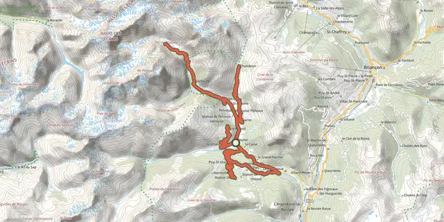
 Plan IGN © IGN 2026Séjour en étoile - 3 jours de vélo en VallouiseÉcrins, Vallouise-Pelvoux (05) · LoopOfficial rating by Parc national des Écrins
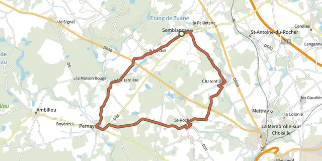 Plan IGN © IGN 2026Semblançay, Le Serrain, Pernay, St-Roch, CharentillyCentre-Val de Loire, Semblançay (37) · Loop
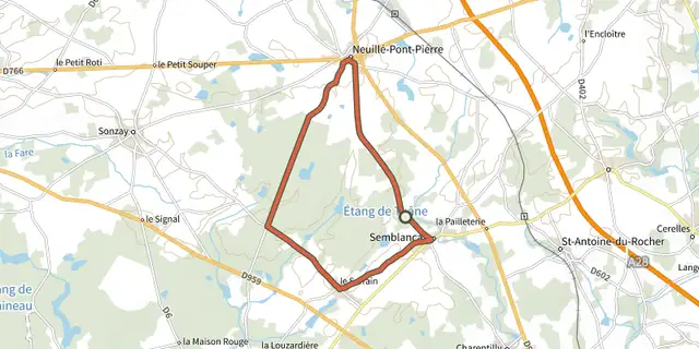 Plan IGN © IGN 2026Semblançay, Le Serrain, Sonzay, Neuillé-Pont-PierreCentre-Val de Loire, Semblançay (37) · Loop
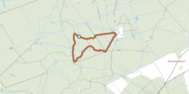 Plan IGN © IGN 2026 · track © OpenStreetMapSénart en quête d'un secretÎle-de-France, Étiolles (91) · Loop
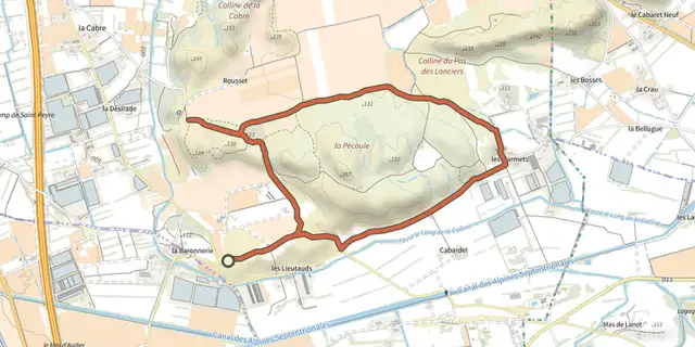 Plan IGN © IGN 2026The Cabre and The PécouleProvence-Alpes-Côte d'Azur, Sénas (13) · LoopOfficial rating by Parcs naturels régionaux de Provence-Alpes-Côte d'Azur
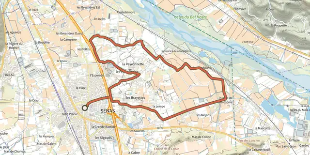 Plan IGN © IGN 2026Perrier Redon by bicycleProvence-Alpes-Côte d'Azur, Sénas (13) · LoopOfficial rating by Parcs naturels régionaux de Provence-Alpes-Côte d'Azur
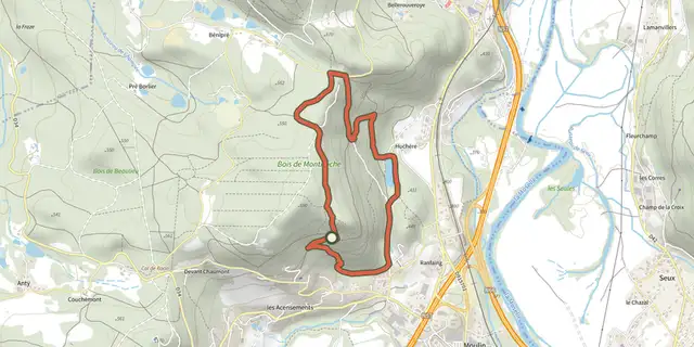 Plan IGN © IGN 2026 · track © OpenStreetMapSentier "Montiroche"Vosges, Saint-Nabord (88) · Loop
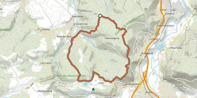 Plan IGN © IGN 2026 · track © OpenStreetMapSentier "Raon-Aux-Bois"Vosges, Raon-aux-Bois (88) · Loop
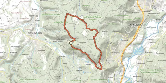 Plan IGN © IGN 2026 · track © OpenStreetMapSentier "Vrupt"Vosges, Raon-aux-Bois (88) · Loop
 Plan IGN © IGN 2026 · track © OpenStreetMapSentier Agnatello - OrnasuCorsica, Serra-di-Fiumorbo (2B) · Point to point
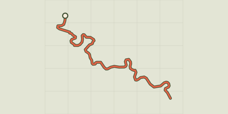 Plan IGN © IGN 2026 · track © OpenStreetMapSentier amont des Gorges de l'ArdècheAuvergne-Rhône-Alpes, Vallon-Pont-d'Arc (07) · Point to point
 Plan IGN © IGN 2026 · track © OpenStreetMapSentier André WeckmannGrand Est, Steinbourg (67) · Loop
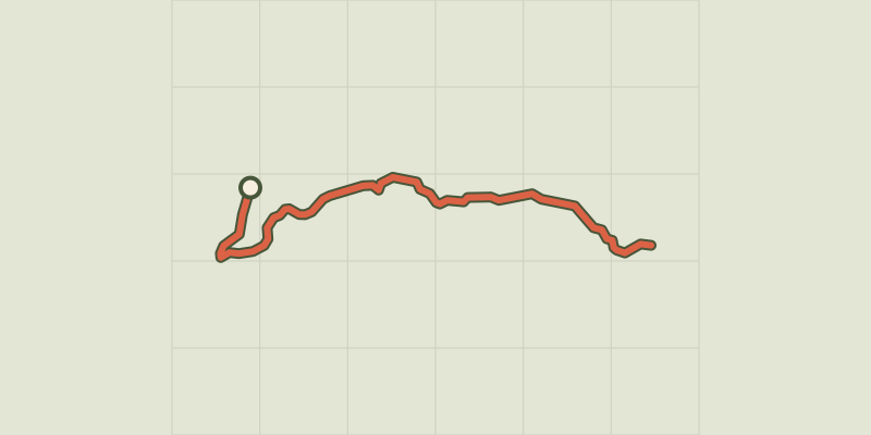 Plan IGN © IGN 2026 · track © OpenStreetMapSentier Aquacitosa - Pinellu - OrnasuCorsica, Serra-di-Fiumorbo (2B) · Point to point
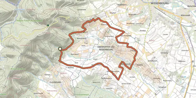 Plan IGN © IGN 2026 · track © OpenStreetMapSentier arboricoleVosges, Wissembourg (67) · Loop
 Plan IGN © IGN 2026 · track © OpenStreetMapSentier archéologiqueCorsica, Vivario (2B) · Point to point
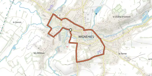 Plan IGN © IGN 2026 · track © OpenStreetMapSentier Architecture de WignehiesHauts-de-France, Wignehies (59) · Loop
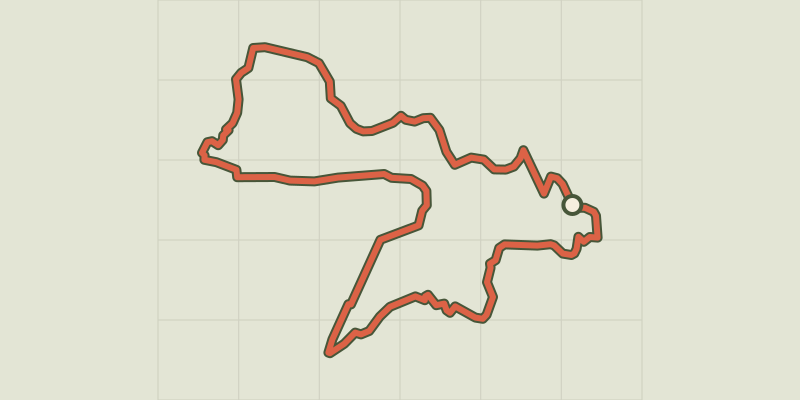 Plan IGN © IGN 2026 · track © OpenStreetMapSentier bleu de la Maison des FleursAuvergne, Orcival (63) · Loop
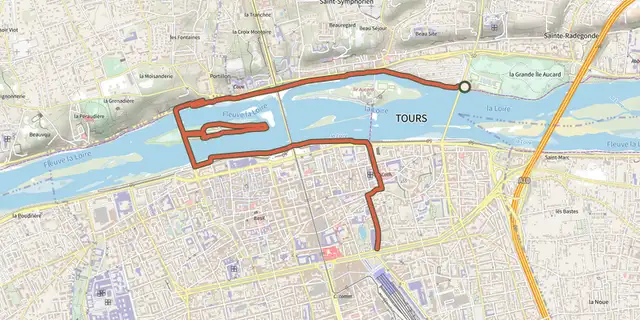 Plan IGN © IGN 2026Sentier bord de LoireCentre-Val de Loire, Tours (37) · Point to pointOfficial rating by Tours Métropole Val de Loire