
Chanteloube mountain bike loop

Key facts
- Distance
- 13.7 km
- Ascent
- +306 m
- Descent
- −243 m
- Estimated time
- 1 hr 30
- mtb
- Difficulty
- Easy
- official rating
- Route
- Loop
- back to the start
Profile and gradient
- under 10%
- 10 to 20%
- over 20%
Gradient along the route: 12.4 km under 10% and 1.4 km at 10 to 20%. Elevation from 784 m to 957 m over 13.7 km.
Description
An ideal route for discovering the turquoise waters of Chanteloube Bay on trails that are not particularly challenging but are a great deal of fun on the downhill sections. The route offers uninterrupted views over the lake, where the surrounding peaks appear to be reflected infinitely. The emerald waters of Chanteloube Bay shimmer through the shade of the pine trees, inviting you to take a winding descent to Trémouilles beach, a haven of peace where you can enjoy a well-earned break. - From the station car park, head along the railway line as far as the Intermarché supermarket. Then cross the railway tracks and immediately turn left onto a small road. Go straight on for 400m, then cross the lane to the left and follow the road. Once you reach the main road, turn right onto the main road and then left again 400m further on, towards the hamlet of Miamellon. Continue along this small road past the bridge over the railway line and past the farm. - Turn left onto a wide carriageway. After several hundred metres, turn right onto another carriageway at the Long Haut sign. Follow the track again for several hundred metres and turn left at the intersection with a new track. - After a slightly steeper climb, in which the summit offers a clear view of the lake, take a small single-track path to the right and almost immediately right again. The route becomes more sinuous, winding through pine trees. At the bottom of the descent, turn right onto a small path that leads upwards, then left into a clearing. Turn right after returning to the forest, the right and left in succession as Chanteloube Bay comes into view. Continue down a steep descent into the black coombe that plunges down into the bay. Turn left after a series of rounded hillocks in the coombe. - Once at the car park, head right and take the small road then continue until you pass under a bridge. Turn left just after and cross the bridge. Follow the road as far as the small chapel of Saint Jacques and turn left, still on a small road. At the next junction, take the path on the right. Continue straight ahead, coming to a small road. Return by road via the route taken at the start.
Difficulty
Official rating: easy, by Parc national des Écrins.
Getting there
Start: Chorges, Chorges (05).
Sources
- Track: Parc national des Écrins, Licence Ouverte 2.0, Licence Ouverte 2.0 (Etalab) (destination.ecrins-parcnational.fr/trek/987354-N19---Chanteloube). Time estimated by GPX Path with the Mac app rule, breaks not included.
- Official elevation gain: 306 m, Parc national des Écrins
Nearby tracks
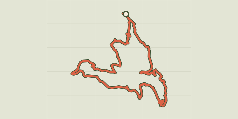
 © OpenStreetMap, SRTM · OpenTopoMap (CC-BY-SA)
Serre Renard
Provence-Alpes-Côte d'Azur, Chorges (05) · LoopOfficial rating by Parc national des Écrins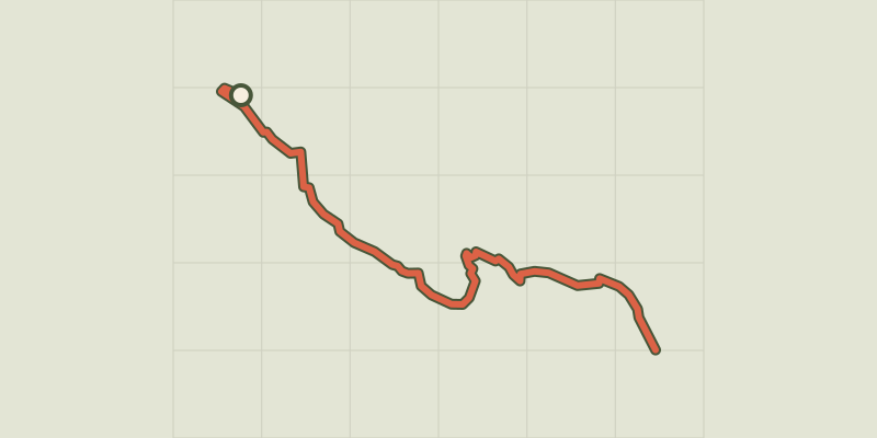 © OpenStreetMap, SRTM · OpenTopoMap (CC-BY-SA)
De Chorges à la Baie Saint-Michel en VTT ou Gravel
Provence-Alpes-Côte d'Azur, Chorges (05) · Point to pointOfficial rating by Parc national des Écrins © OpenStreetMap, SRTM · OpenTopoMap (CC-BY-SA)
Le Fein
Provence-Alpes-Côte d'Azur, Chorges (05) · LoopOfficial rating by Parc national des Écrins © OpenStreetMap, SRTM · OpenTopoMap (CC-BY-SA)
Le lac de Saint-Apollinaire
Écrins, Saint-Apollinaire (05) · LoopOfficial rating by Parc national des Écrins © OpenStreetMap, SRTM · OpenTopoMap (CC-BY-SA)
Enduro de Joubelle
Écrins, Réallon (05) · Point to pointOfficial rating by Parc national des Écrins © OpenStreetMap, SRTM · OpenTopoMap (CC-BY-SA)
the Sauze balconies
Provence-Alpes-Côte d'Azur, Le Sauze-du-Lac (05) · LoopOfficial rating by Parc national des Écrins