
Descent from Les Orres

Key facts
- Distance
- 15.3 km
- Ascent
- +131 m
- Descent
- −946 m
- Estimated time
- 1 hr 15
- mtb
- Difficulty
- Moderate
- official rating
- Route
- Point to point
- ends elsewhere
Profile and gradient
- under 10%
- 10 to 20%
- over 20%
Gradient along the route: 11.9 km under 10% and 3.4 km at 10 to 20%. Elevation from 781 m to 1,648 m over 15.3 km.
Description
A long and beautiful descent, physically demanding but almost always under the cover of trees. The descent begins in a wild setting, studded by crossings and fords over the stream. You will pass a number of hamlets alongside the road, a reminder that you are returning to civilisation and need to take a more cautious approach. - Descend the departmental road then turn left at a place called Pralalègre towards the ranch. Descend the tight hairpin road, then take the path leading to the equestrian centre. Cross the stream and follow a wide path. Cross the bridge over the Eysalettes and continue along the same path. After a few hundred metres, turn left onto the track. Continue straight on to the next intersection. - Finally turn right at the next intersection, around a bend, and take a wide path that descends again. Cross a stream. Turn left down a stony slope into the heart of the woods - After this stony descent, turn right at a beehive into more open countryside then left on a hairpin 200m below. Join a small hamlet and go 50m down the road. Turn left onto a small road. - After about 200m, take a track on the right. The path soon narrows and winds through the woods. Turn left at La Serbie and follow the road down to a hairpin bend, where you turn left under the pines along a winding path. At the end of this path, turn left onto the road and then left again towards the estate of Val Ubaye. - At the sign for Vurbaye, take a small path to the right. At the end of the path, take a small road to the right, which is almost immediately followed by a footpath, then join a road and head downhill towards Baratier. Once you reach the village square, go past the town hall then turn right at the exit for the small square and right again onto the road. - Then take a path on the left and turn right at the road. At the roundabout, go straight ahead towards Petit Liou. Go down the street then pass under the RN94. Go past the Super U then straight ahead at the roundabout to take the footbridge over the Durance. Then turn left and follow the Durance to the car park
Difficulty
Official rating: moderate, by Parc national des Écrins.
Getting there
Start: Les Orres 1650, Les Orres (05).
Sources
- Track: Parc national des Écrins, Licence Ouverte 2.0, Licence Ouverte 2.0 (Etalab) (destination.ecrins-parcnational.fr/trek/993435-N15---Descente-des-Orres). Time estimated by GPX Path with the Mac app rule, breaks not included.
- Official elevation gain: 131 m, Parc national des Écrins
Nearby tracks

 © OpenStreetMap, SRTM · OpenTopoMap (CC-BY-SA)
La Grande Rocade
Provence-Alpes-Côte d'Azur, Les Orres (05) · Out and backOfficial rating by Parc national des Écrins © OpenStreetMap, SRTM · OpenTopoMap (CC-BY-SA)
Descent from Les Orres via the County Town.
Provence-Alpes-Côte d'Azur, Les Orres (05) · Point to pointOfficial rating by Parc national des Écrins © OpenStreetMap, SRTM · OpenTopoMap (CC-BY-SA)
The Méale loop
Provence-Alpes-Côte d'Azur, Saint-Sauveur (05) · LoopOfficial rating by Parc national des Écrins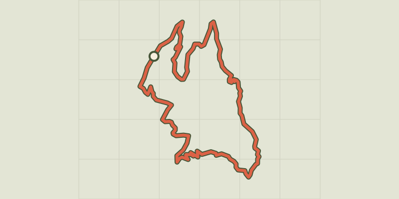 © OpenStreetMap, SRTM · OpenTopoMap (CC-BY-SA)
Clot Besson
Écrins, Crots (05) · LoopOfficial rating by Parc national des Écrins © OpenStreetMap, SRTM · OpenTopoMap (CC-BY-SA)
Le Parpaillon
Provence-Alpes-Côte d'Azur, Crévoux (05) · Out and backOfficial rating by Parc national des Écrins © OpenStreetMap, SRTM · OpenTopoMap (CC-BY-SA)
The loop of Le Réal
Provence-Alpes-Côte d'Azur, Crévoux (05) · LoopOfficial rating by Parc national des Écrins