
The loop of Le Réal

Key facts
- Distance
- 13.9 km
- Ascent
- +392 m
- Descent
- −326 m
- Estimated time
- 1 hr 40
- mtb
- Difficulty
- Easy
- official rating
- Route
- Loop
- back to the start
Profile and gradient
- under 10%
- 10 to 20%
- over 20%
Gradient along the route: 13.2 km under 10% and 0.7 km at 10 to 20%. Elevation from 1,609 m to 1,902 m over 13.9 km.
Description
Set off to discover a wild and unspoilt valley from the small resort of Crévoux, an authentic village and a true haven of peace. The Loop of Le Réal takes you through a wild valley where you climb the twists and turns of the Parpaillon, a legendary pass where every cyclist feels like "slaves of the road" described by Albert Londres. Exploring this valley also involves some narrow paths, which sometimes seem to disappear under the vegetation, and crossing a scree slope. This route allows you to rediscover the spirit of adventure and exploration inherent to mountain biking while remaining accessible to all mountain bikers. - From the car park serving the slopes, drive past La Tanière crêperie then down the narrow road towards the village. Turn right at the first intersection with a wide path. Continue straight ahead on this path at the next three intersections. After a more wooded section, the landscape opens up again and the path leads to the Col de Parpaillon road. Turn right onto this road and follow it up several hairpin bends through the larches to the Cabane des Espagnols. - Turn right at the Cabane des Espagnols onto a wide track towards Crévoux. Continue along the track after a sharp bend just past a shepherd's hut. The path begins to descend after about 200m, on a dirt track that is just as wide, and then becomes a little stonier. 100m after a farm, leave the track and turn left onto a path that rises again. The slope is very steep for a few metres, but you have to turn right onto a small downhill grassy path almost immediately. Follow this small track that winds through the larches and into a clearing. - At the end of this clearing, again take a path that disappears under the grass and leaves between two trees. Ignore the path to the right or left! Pass under a ski lift and continue straight ahead. Continue straight on at the next intersection. A passage through scree requires some portage. Continue along the widening track until you reach a wide path on the right that descends. Turn right when the path drops onto a track, then bear left to leave the track at the next junction. Follow the path to the car park serving the slopes.
Difficulty
Official rating: easy, by Parc national des Écrins.
Getting there
Start: Crévoux, Crévoux (05).
Sources
- Track: Parc national des Écrins, Licence Ouverte 2.0, Licence Ouverte 2.0 (Etalab) (destination.ecrins-parcnational.fr/trek/990701-N12---Le-Real). Time estimated by GPX Path with the Mac app rule, breaks not included.
- Official elevation gain: 392 m, Parc national des Écrins
Nearby tracks

 © OpenStreetMap, SRTM · OpenTopoMap (CC-BY-SA)
Le Parpaillon
Provence-Alpes-Côte d'Azur, Crévoux (05) · Out and backOfficial rating by Parc national des Écrins © OpenStreetMap, SRTM · OpenTopoMap (CC-BY-SA)
Descent from Les Orres via the County Town.
Provence-Alpes-Côte d'Azur, Les Orres (05) · Point to pointOfficial rating by Parc national des Écrins © OpenStreetMap, SRTM · OpenTopoMap (CC-BY-SA)
The Méale loop
Provence-Alpes-Côte d'Azur, Saint-Sauveur (05) · LoopOfficial rating by Parc national des Écrins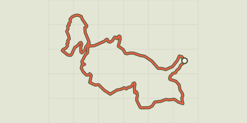 © OpenStreetMap, SRTM · OpenTopoMap (CC-BY-SA)
Les Myrtilles - Vars en VTT
Provence-Alpes-Côte d'Azur, Vars (05) · LoopOfficial rating by Parcs naturels régionaux de Provence-Alpes-Côte d'Azur © OpenStreetMap, SRTM · OpenTopoMap (CC-BY-SA)
Descent from Les Orres
Provence-Alpes-Côte d'Azur, Les Orres (05) · Point to pointOfficial rating by Parc national des Écrins © OpenStreetMap, SRTM · OpenTopoMap (CC-BY-SA)
La Grande Rocade
Provence-Alpes-Côte d'Azur, Les Orres (05) · Out and backOfficial rating by Parc national des Écrins