
The Méale loop

Key facts
- Distance
- 13.7 km
- Ascent
- +624 m
- Descent
- −561 m
- Estimated time
- 2 hr 05
- mtb
- Difficulty
- Difficult
- official rating
- Route
- Loop
- back to the start
Profile and gradient
- under 10%
- 10 to 20%
- over 20%
Gradient along the route: 8.5 km under 10%, 4.8 km at 10 to 20% and 0.3 km over 20%. Elevation from 1,359 m to 1,914 m over 13.7 km.
Description
This is a physically and technically demanding route under the ever-present forest cover. The forest cover keeps things cool in summer. Clearings in the forest sometimes offer beautiful views of Embrun and Lac de Serre-Ponçon. The final section takes in fields bursting with spring flowers, where the red of the poppies dominates - Descend the road to a hairpin bend where you need to turn right towards Méale. Turn right at the next junction, staying on a wide carriageway. The track gradually rises through the larches and must be followed again at the next junction, a few kilometres further on. - Continue on the track again after a hairpin bend for several kilometres. Turn right shortly after the Source de Font Buisson and go past the Cabane du Landet. Turn right again after joining a wide track. Continue along this wide track, passing a sign for Le Méale and Saint Sauveur. The road becomes flat after this sign. - Turn left at the next intersection to take an uphill section. At the new signs, turn right onto a narrow path heading towards Saint Sauveur via Les Gaillards. Follow the narrow winding path, then when the path splits in two at the sign for Le Canal, turn right. - Return to the track at the Les Graves. sign. Cross the track and descend on a path that immediately turns right and winds through the forest before joining a wider path that needs to be descended. Cross some meadows then take a small path to the right, at the Pré de QuiQuiou. Continue straight on to the next intersection at the sign for Le Lot. Join and descend a passable path to the hamlet. Follow the road and turn left towards Saint Sauveur shortly afterwards. Then descend the carriageway to the neglected road. Return by the same path.
Difficulty
Official rating: difficult, by Parc national des Écrins.
Getting there
Start: Les Gaillards, Saint-Sauveur, Saint-Sauveur (05).
Sources
- Track: Parc national des Écrins, Licence Ouverte 2.0, Licence Ouverte 2.0 (Etalab) (destination.ecrins-parcnational.fr/trek/991032-N13---La-boucle-du-Meale). Time estimated by GPX Path with the Mac app rule, breaks not included.
- Official elevation gain: 624 m, Parc national des Écrins
Nearby tracks

 © OpenStreetMap, SRTM · OpenTopoMap (CC-BY-SA)
Descent from Les Orres via the County Town.
Provence-Alpes-Côte d'Azur, Les Orres (05) · Point to pointOfficial rating by Parc national des Écrins © OpenStreetMap, SRTM · OpenTopoMap (CC-BY-SA)
Grand Tour des Ecrins VTTAE - Grande Traversée VTT-FFC
Écrins, Embrun (05) · Point to pointOfficial rating by Parc national des Écrins © OpenStreetMap, SRTM · OpenTopoMap (CC-BY-SA)
The Saint Sauveur loop
Écrins, Embrun (05) · LoopOfficial rating by Parc national des Écrins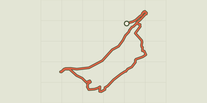 © OpenStreetMap, SRTM · OpenTopoMap (CC-BY-SA)
Crots Beach
Écrins, Embrun (05) · LoopOfficial rating by Parc national des Écrins © OpenStreetMap, SRTM · OpenTopoMap (CC-BY-SA)
La plaine sous le Roc mountain bike loop
Écrins, Embrun (05) · LoopOfficial rating by Parc national des Écrins © OpenStreetMap, SRTM · OpenTopoMap (CC-BY-SA)
Combe des Champannes loop
Écrins, Embrun (05) · LoopOfficial rating by Parc national des Écrins