
Lamanon - Autour de Calès
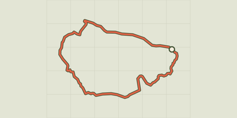
Key facts
- Distance
- 8.0 km
- Ascent
- +230 m
- Descent
- −204 m
- Estimated time
- 2 hr 15
- hiking
- Difficulty
- Easy
- official rating
- Route
- Loop
- back to the start
Profile and gradient
- under 10%
- 10 to 20%
- over 20%
Gradient along the route: 6.8 km under 10% and 1.2 km at 10 to 20%. Elevation from 106 m to 308 m over 8.0 km.
Description
Difficulty
Official rating: easy, by Parcs naturels régionaux de Provence-Alpes-Côte d'Azur.
Before you go
- En été, les espaces naturels sont plus exposés aux risques d’incendie. L’accès est réglementé par arrêté préfectoral du 1er juin au 30 septembre pour protéger les promeneurs et les sites. Renseignez-vous pendant la période estivale au 08 11 20 13 13 (prix d'un appel local) ou sur http://bpatp.paca-ate.fr/
Getting there
Start: Parking des sources, Lamanon, Lamanon (13).
Sources
- Track: Parcs naturels régionaux de Provence-Alpes-Côte d'Azur (Chemins des Parcs), Licence Ouverte 2.0, Licence Ouverte 2.0 (Etalab) (www.cheminsdesparcs.fr/trek/96870-LAMANON---Autour-de-Cales). Time estimated by GPX Path with the Mac app rule, breaks not included.
- Official elevation gain: 230 m, Parcs naturels régionaux de Provence-Alpes-Côte d'Azur
Nearby tracks
 © OpenStreetMap, SRTM · OpenTopoMap (CC-BY-SA)
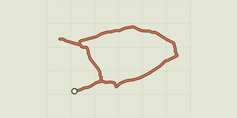
The Cabre and The Pécoule
Provence-Alpes-Côte d'Azur, Sénas (13) · LoopOfficial rating by Parcs naturels régionaux de Provence-Alpes-Côte d'Azur © OpenStreetMap, SRTM · OpenTopoMap (CC-BY-SA)
Vallon des Glauges
Provence-Alpes-Côte d'Azur, Eyguières (13) · LoopOfficial rating by Parcs naturels régionaux de Provence-Alpes-Côte d'Azur © OpenStreetMap, SRTM · OpenTopoMap (CC-BY-SA)
Cheval-Blanc - Sentier du Trou du Rat par Mayorques
Luberon, Cheval-Blanc (84) · LoopOfficial rating by Parcs naturels régionaux de Provence-Alpes-Côte d'Azur © OpenStreetMap, SRTM · OpenTopoMap (CC-BY-SA)
Cheval-Blanc - De La Roquette à la crau des Mayorques
Luberon, Cheval-Blanc (84) · LoopOfficial rating by Parcs naturels régionaux de Provence-Alpes-Côte d'Azur © OpenStreetMap, SRTM · OpenTopoMap (CC-BY-SA)
Cheval-Blanc - Crau des Mayorques
Luberon, Cheval-Blanc (84) · LoopOfficial rating by Parcs naturels régionaux de Provence-Alpes-Côte d'Azur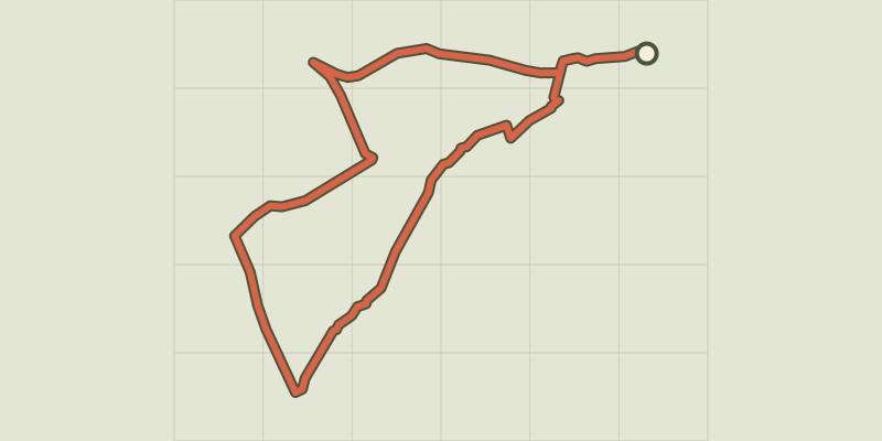 © OpenStreetMap, SRTM · OpenTopoMap (CC-BY-SA)
Orgon - La boucle de Valdition
Provence-Alpes-Côte d'Azur, Orgon (13) · LoopOfficial rating by Parcs naturels régionaux de Provence-Alpes-Côte d'Azur