
Vallon des Glauges

Key facts
- Distance
- 7.3 km
- Ascent
- +95 m
- Descent
- −71 m
- Estimated time
- 1 hr 45
- hiking
- Difficulty
- Easy
- official rating
- Route
- Loop
- back to the start
Profile and gradient
- under 10%
- 10 to 20%
- over 20%
Gradient along the route: 7.3 km under 10%. Elevation from 95 m to 157 m over 7.3 km.
Description
Admire the imposing Opies and cliffs of Mont Menu ! The Glauges bring you to discover beautiful landscapes, typical of the Alpilles Regional Natural Park. In the heart of the valley, which separates Opies from Mont Menu, the paths will alternate between olive groves and vineyards shaped by humans for many years, and in a Provencal scrubland offering a rich biodiversity. Back to the car park, climb to the right, between the Chabaud arena and the cemetery, the marked path of the Col of Melet tagged GR® and PR. Follow this marked path for 1 km, cross the channel of the valley of Baux and join an intersection where is implanted a panel of the Department. 1- fork right on the tarmac path marked PR, following the panel "Eyguières par le vallon des Glauges 7.8 km". Cross again the channel, then at the bend to the left take straight on the path of St-Pierre-de-Vence, marked blue and green. Follow it on 1.5 km. 2- At the end of the road, turn left on the paved road Glauges, marked PR. At the entrance to the domain vallon des Glauges, leave the paved road to climb the path on the right, marked PR, which passes through the vineyards. Join 500 m further an intersection with a DFCI barrier. 3- Pass the barrier to the right and follow this marked path PR. Leave a property on the right, pass a second DFCI barrier and cross the next junction. 300 m further, stay on the left and join a cross a few meters lower. 4- borrow the path to the left, signposted GR®. Continue straight for 1.2 km, leaving aside the different paths encountered, and join the D17 road. (Caution, traffic!) Turn left on this marked GR®, follow it for 300 m and turn left on a tarred road. Find 150 m further the intersection with the panel of the Department and the path of the Col de Melet. Resume this path and return to the starting point.
Difficulty
Official rating: easy, by Parcs naturels régionaux de Provence-Alpes-Côte d'Azur.
Before you go
- For your safety, and for the preservation of forest areas, access to natural areas is regulated from June to September. Inquire during the summer period on 08 11 20 13 13 (price of a local call) or on www.bouches-du-rhone.pref.gouv.fr Download the application for free MYPROVENCE ENVIE DE BALADE (available on Appstore and Android Market).
Getting there
Start: Parking des arènes Chabaud, Eyguières, Eyguières (13).
Sources
- Track: Parcs naturels régionaux de Provence-Alpes-Côte d'Azur (Chemins des Parcs), Licence Ouverte 2.0, Licence Ouverte 2.0 (Etalab) (www.cheminsdesparcs.fr/trek/63077-EYGUIERES---Vallon-des-Glauges). Time estimated by GPX Path with the Mac app rule, breaks not included.
- Official elevation gain: 95 m, Parcs naturels régionaux de Provence-Alpes-Côte d'Azur
Nearby tracks

 © OpenStreetMap, SRTM · OpenTopoMap (CC-BY-SA)
Lamanon - Autour de Calès
Provence-Alpes-Côte d'Azur, Lamanon (13) · LoopOfficial rating by Parcs naturels régionaux de Provence-Alpes-Côte d'Azur © OpenStreetMap, SRTM · OpenTopoMap (CC-BY-SA)
A Mediterranean bird festival
Provence-Alpes-Côte d'Azur, Aureille (13) · Out and backOfficial rating by Parcs naturels régionaux de Provence-Alpes-Côte d'Azur © OpenStreetMap, SRTM · OpenTopoMap (CC-BY-SA)
La Vallongue
Provence-Alpes-Côte d'Azur, Aureille (13) · LoopOfficial rating by Parcs naturels régionaux de Provence-Alpes-Côte d'Azur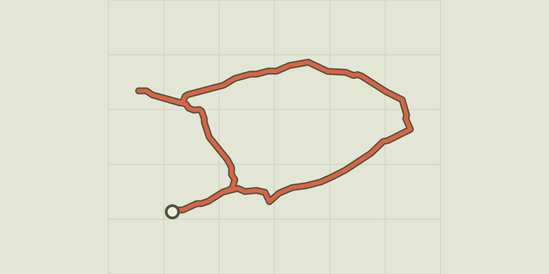 © OpenStreetMap, SRTM · OpenTopoMap (CC-BY-SA)
The Cabre and The Pécoule
Provence-Alpes-Côte d'Azur, Sénas (13) · LoopOfficial rating by Parcs naturels régionaux de Provence-Alpes-Côte d'Azur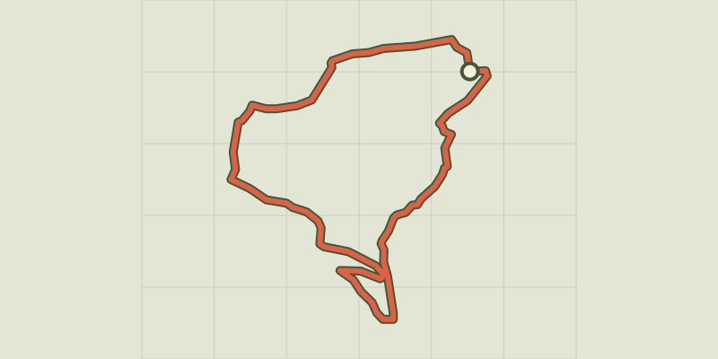 © OpenStreetMap, SRTM · OpenTopoMap (CC-BY-SA)
Stroll of the Petit Calan
Provence-Alpes-Côte d'Azur, Eygalières (13) · LoopOfficial rating by Parcs naturels régionaux de Provence-Alpes-Côte d'Azur © OpenStreetMap, SRTM · OpenTopoMap (CC-BY-SA)
Petit et Gros Calans
Provence-Alpes-Côte d'Azur, Eygalières (13) · LoopOfficial rating by Parcs naturels régionaux de Provence-Alpes-Côte d'Azur