
Le Méale

Key facts
- Distance
- 15.2 km
- Ascent
- +992 m
- Descent
- −956 m
- Estimated time
- 2 hr 30
- trail running
- Difficulty
- Moderate
- official rating
- Route
- Loop
- back to the start
Profile and gradient
- under 10%
- 10 to 20%
- over 20%
Gradient along the route: 4.2 km under 10%, 10.6 km at 10 to 20% and 0.4 km over 20%. Elevation from 1,461 m to 2,405 m over 15.2 km.
Description
This sporty loop takes you up to the summit of Méale, where the view of Lake Serre-Ponçon and the surrounding peaks will reward your efforts. This demanding loop takes you to the pyramid-shaped summit of Méale (2426m), above the county town of Les Orres. The 360° view takes in the Serre-Ponçon valley, the resort of Les Orres, the Parpaillon massif and the surrounding peaks. - Take Rue du Commun, which turns into a dirt track. A single track leads up to the Méale road. Follow the discovery trail on the right. - Turn left just before the hamlet of Haut-Forest for a demanding climb. Follow the hairpins until you reach La Platrière, with its panoramic view over Serre-Ponçon. The view becomes clearer and clearer as the climb continues. - Take a right to reach the summit via one of the two paths. Retrace your steps to the last junction, where you need to turn right. A series of hairpins leads to a track that you need to follow briefly. - Watch out for the single track on the left that leads to the Forêt car park. Take the track back to the starting point.
Difficulty
Official rating: moderate, by Parc national des Écrins.
Getting there
Start: Parking de l'église, chef-lieu, Les Orres, Les Orres (05).
Sources
- Track: Parc national des Écrins, Licence Ouverte 2.0, Licence Ouverte 2.0 (Etalab) (destination.ecrins-parcnational.fr/trek/995604-Le-Meale-(Trail)). Time estimated by GPX Path with the Mac app rule, breaks not included.
- Official elevation gain: 992 m, Parc national des Écrins
Nearby tracks
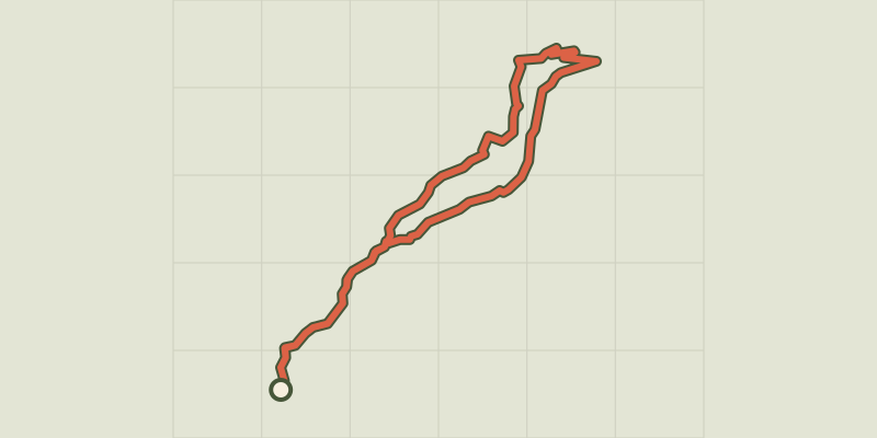
 © OpenStreetMap, SRTM · OpenTopoMap (CC-BY-SA)
Chemin du garde
Provence-Alpes-Côte d'Azur, Les Orres (05) · LoopOfficial rating by Parc national des Écrins © OpenStreetMap, SRTM · OpenTopoMap (CC-BY-SA)
l'Aupillon
Provence-Alpes-Côte d'Azur, Les Orres (05) · Point to pointOfficial rating by Parc national des Écrins © OpenStreetMap, SRTM · OpenTopoMap (CC-BY-SA)
The Mazelière loop
Provence-Alpes-Côte d'Azur, Les Orres (05) · LoopOfficial rating by Parc national des Écrins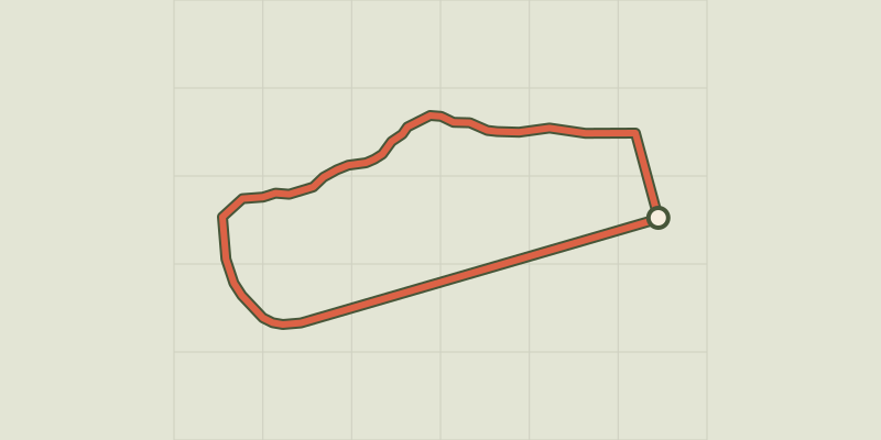 © OpenStreetMap, SRTM · OpenTopoMap (CC-BY-SA)
Around the lake
Écrins, Embrun (05) · LoopOfficial rating by Parc national des Écrins © OpenStreetMap, SRTM · OpenTopoMap (CC-BY-SA)
Ring road
Écrins, Crots (05) · LoopOfficial rating by Parc national des Écrins © OpenStreetMap, SRTM · OpenTopoMap (CC-BY-SA)
The Colombier lookout
Écrins, Crots (05) · LoopOfficial rating by Parc national des Écrins