
The Mazelière loop

Key facts
- Distance
- 14.1 km
- Ascent
- +635 m
- Descent
- −584 m
- Estimated time
- 2 hr
- trail running
- Difficulty
- Easy
- official rating
- Route
- Loop
- back to the start
Profile and gradient
- under 10%
- 10 to 20%
- over 20%
Gradient along the route: 9.9 km under 10%, 3.5 km at 10 to 20% and 0.7 km over 20%. Elevation from 1,513 m to 1,971 m over 14.1 km.
Description
This loop will enable you to discover the important natural and historical heritage hidden away in the Eyssalette valley. This long loop will give you the chance to take in the fresh air along the Eyssalette torrent, crossing the Sources de Jérusalem and winding through the undergrowth. Throughout the route, you can enjoy panoramic views of the surrounding peaks, the resort and the hamlet of Les Orres. - From the tourist office, follow the departmental road towards Embrun as far as the junction between Les Orres 1650 and Les Orres 1800. On the right is the Estomac car park. From the entrance to the latter, cross the road to reach the single track you started on - Descend towards the hamlet of Pralalègre and cross the bridge of Mazelière. Follow a smooth path as far as the Roche Blanche bridge. Turn left onto a single track through undergrowth, which climbs up to reach the Gautier sheepfold. - Follow the track to the Jerusalem springs: don't forget to turn right. At the barrier, descend to the right and cross the springs to reach an old canal. - Continue along the path and enjoy the view of the resort. At the Vallon hut, turn right. Follow the PR signs on this beautiful descent that leads to the path alongside the Baratier canal, which you must follow until you reach the Roche Blanche bridge. - From this point, return the way you came.
Difficulty
Official rating: easy, by Parc national des Écrins.
Getting there
Start: Parking de l’Estomac, Les Orres 1650, Les Orres (05).
Sources
- Track: Parc national des Écrins, Licence Ouverte 2.0, Licence Ouverte 2.0 (Etalab) (destination.ecrins-parcnational.fr/trek/995643-La-boucle-de-la-Mazeliere). Time estimated by GPX Path with the Mac app rule, breaks not included.
- Official elevation gain: 635 m, Parc national des Écrins
Nearby tracks

 © OpenStreetMap, SRTM · OpenTopoMap (CC-BY-SA)
l'Aupillon
Provence-Alpes-Côte d'Azur, Les Orres (05) · Point to pointOfficial rating by Parc national des Écrins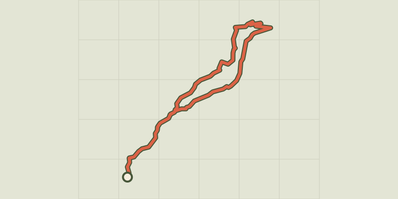 © OpenStreetMap, SRTM · OpenTopoMap (CC-BY-SA)
Chemin du garde
Provence-Alpes-Côte d'Azur, Les Orres (05) · LoopOfficial rating by Parc national des Écrins © OpenStreetMap, SRTM · OpenTopoMap (CC-BY-SA)
Le Méale
Provence-Alpes-Côte d'Azur, Les Orres (05) · LoopOfficial rating by Parc national des Écrins © OpenStreetMap, SRTM · OpenTopoMap (CC-BY-SA)
Ring road
Écrins, Crots (05) · LoopOfficial rating by Parc national des Écrins © OpenStreetMap, SRTM · OpenTopoMap (CC-BY-SA)
The Colombier lookout
Écrins, Crots (05) · LoopOfficial rating by Parc national des Écrins © OpenStreetMap, SRTM · OpenTopoMap (CC-BY-SA)
Morgon loop
Écrins, Crots (05) · LoopOfficial rating by Parc national des Écrins