
Port St-Pierre

Key facts
- Distance
- 4.6 km
- Ascent
- +271 m
- Descent
- −254 m
- Estimated time
- 1 hr 35
- hiking
- Difficulty
- Easy
- official rating
- Route
- Out and back
- same way back
Profile and gradient
- under 10%
- 10 to 20%
- over 20%
Gradient along the route: 2.0 km under 10%, 2.4 km at 10 to 20% and 0.2 km over 20%. Elevation from 784 m to 1,044 m over 4.6 km.
Description
With the azure blue of the lake as your guide, hug the water's edge to reach the lakeside beach of Port Saint-Pierre. A dramatic start, with a sweeping view over the Serre-Ponçon dam and its surrounding mountains. An indispensable ride along the Chemin des Amoureux before dropping down to Port St-Pierre. You reach this site by following the lake shore, first through an open section and then through forest. From the car park on the road leading to the belvedere, take the road on the left which runs into the village. - At the water fountain, take the road on the right. Go down the Chemin des Amoureux and then head left downhill to the Pied de Vière wash house. At the bottom, take the path on the right leading towards the beach ("Plage de Port St-Pierre"). - At the next intersection, where you come to some narrow wooden steps, go straight ahead (to the left of the wooden table). - Carry on downhill and when you come to an intersection in the tracks, turn right to the Port Saint Pierre recreation area.
Difficulty
Official rating: easy, by Parc national des Écrins.
Getting there
Start: Belvédère, Le Sauze-du -Lac, Le Sauze-du-Lac (05).
Sources
- Track: Parc national des Écrins, Licence Ouverte 2.0, Licence Ouverte 2.0 (Etalab) (destination.ecrins-parcnational.fr/trek/974117-Port-St-Pierre). Time estimated by GPX Path with the Mac app rule, breaks not included.
- Official elevation gain: 271 m, Parc national des Écrins
Nearby tracks

 © OpenStreetMap, SRTM · OpenTopoMap (CC-BY-SA)
Les Glaisolles
Provence-Alpes-Côte d'Azur, Chorges (05) · LoopOfficial rating by Parc national des Écrins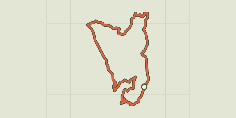 © OpenStreetMap, SRTM · OpenTopoMap (CC-BY-SA)
Le Serre du bois
Provence-Alpes-Côte d'Azur, Chorges (05) · LoopOfficial rating by Parc national des Écrins © OpenStreetMap, SRTM · OpenTopoMap (CC-BY-SA)
Col du Morgonnet and Cabane du Jas
Provence-Alpes-Côte d'Azur, Pontis (04) · LoopOfficial rating by Parc national des Écrins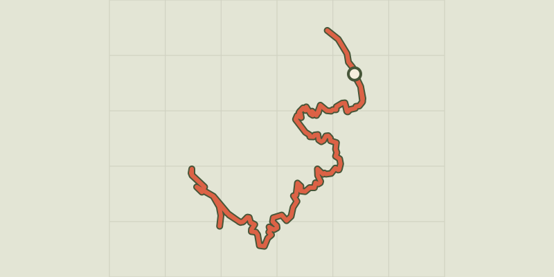 © OpenStreetMap, SRTM · OpenTopoMap (CC-BY-SA)
Sentier du bord de Lac - Lakeshore path
Provence-Alpes-Côte d'Azur, Chorges (05) · Out and backOfficial rating by Parc national des Écrins © OpenStreetMap, SRTM · OpenTopoMap (CC-BY-SA)
Sentier des Curattes - Les Curattes path
Provence-Alpes-Côte d'Azur, Chorges (05) · LoopOfficial rating by Parc national des Écrins © OpenStreetMap, SRTM · OpenTopoMap (CC-BY-SA)
Clot-Clavary
Provence-Alpes-Côte d'Azur, Chorges (05) · LoopOfficial rating by Parc national des Écrins