
Loop 27 - The Col du Parpaillon

Key facts
- Distance
- 24.1 km
- Ascent
- +1,064 m
- Descent
- −1,052 m
- Estimated time
- 2 hr 50
- gravel
- Difficulty
- Moderate
- official rating
- Route
- Out and back
- same way back
Profile and gradient
- under 10%
- 10 to 20%
- over 20%
Gradient along the route: 20.1 km under 10% and 4.0 km at 10 to 20%. Elevation from 1,580 m to 2,637 m over 24.1 km.
Description
A legendary pass, Le Parpaillon (2637 m) is one of the last remaining examples of what a major Alpine pass might have looked like before the era of cars and tarmac. Discover an unspoilt, pure and wild mountain where the marmots will announce your arrival. Like many roads at the time, this mountain road was built by the military. It's not unusual to come across road bikes that have lost their way after being misled by the classification as a departmental road! 1) From the village square, take the road leading from the war memorial. At "Champ La font 2", climb the gravel track towards the hamlet of La Chalp. Continue straight ahead on the main road. At Travers du Moulin go straight up the track. 2) At the bend go straight on (stony climb). At the bend in the road (D39T), turn right. At the picnic area, continue straight ahead. 3) At the Parpaillon tunnel, go through the tunnel (you will need lights) and turn around to go back down to Crévoux. Follow the route taken on the outward journey back to the village of Crévoux.
Difficulty
Official rating: moderate, by Parc national des Écrins.
Getting there
Start: Crévoux, Crévoux (05).
Sources
- Track: Parc national des Écrins, Licence Ouverte 2.0, Licence Ouverte 2.0 (Etalab) (destination.ecrins-parcnational.fr/trek/996137-Boucle-27---Le-col-du-Parpaillon). Time estimated by GPX Path with the Mac app rule, breaks not included.
- Official elevation gain: 1,064 m, Parc national des Écrins
Nearby tracks

 © OpenStreetMap, SRTM · OpenTopoMap (CC-BY-SA)
Loop 58 - Tour of Crévoux
Provence-Alpes-Côte d'Azur, Crévoux (05) · LoopOfficial rating by Parc national des Écrins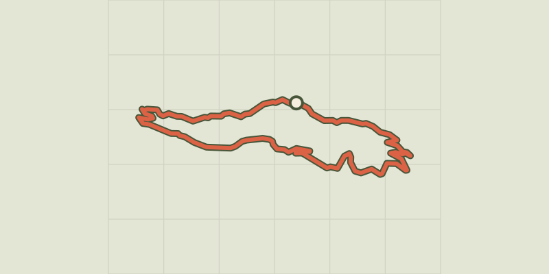 © OpenStreetMap, SRTM · OpenTopoMap (CC-BY-SA)
Loop 57 - Le Méale
Provence-Alpes-Côte d'Azur, Crévoux (05) · LoopOfficial rating by Parc national des Écrins © OpenStreetMap, SRTM · OpenTopoMap (CC-BY-SA)
Loop 56 - Col Valbelle
Provence-Alpes-Côte d'Azur, Saint-André-d'Embrun (05) · LoopOfficial rating by Parc national des Écrins © OpenStreetMap, SRTM · OpenTopoMap (CC-BY-SA)
Loop 55 - Lac du Siguret
Provence-Alpes-Côte d'Azur, Saint-André-d'Embrun (05) · LoopOfficial rating by Parc national des Écrins © OpenStreetMap, SRTM · OpenTopoMap (CC-BY-SA)
Around Lake Serre-Ponçon - Gravel
Écrins, Embrun (05) · Point to pointOfficial rating by Parc national des Écrins © OpenStreetMap, SRTM · OpenTopoMap (CC-BY-SA)
Loop 59 - From Embrun to Les Orres
Provence-Alpes-Côte d'Azur, Embrun (05) · LoopOfficial rating by Parc national des Écrins