
Loop 57 - Le Méale
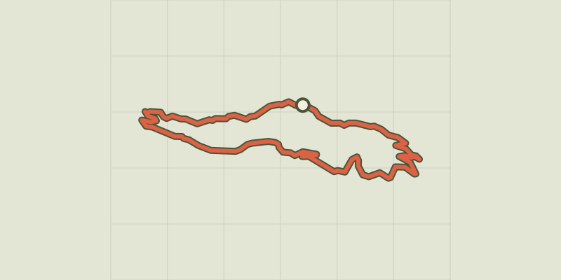
Key facts
- Distance
- 14.7 km
- Ascent
- +449 m
- Descent
- −450 m
- Estimated time
- 1 hr 25
- gravel
- Difficulty
- Easy
- official rating
- Route
- Loop
- back to the start
Profile and gradient
- under 10%
- 10 to 20%
- over 20%
Gradient along the route: 13.6 km under 10% and 1.1 km at 10 to 20%. Elevation from 1,524 m to 1,963 m over 14.7 km.
Description
A pleasant loop in summer, on shady forest tracks in Crévoux and the Parpaillon massif. Departing from this family-friendly resort, the Méale is a mountainous loop through woodland and clearings where herds of cows have replaced skiers. You can take the red route no. 58 "Crévoux” if you want to extend the route. - From the village square, head up the street that starts at the war memorial. At "Champ La font 2", take the stony track opposite towards the hamlet of La Chalp. Continue straight ahead on the main path until you reach the road. - At the bend, ascend the road on the right to the picnic area (Cabane des Espagnols) - At the picnic area, turn right twice onto the uphill path (there is a spring if you stay on the road after the Réal bridge on the right). Stay on the main track (Route forestière de Bouche Clauze), - At the bend of a track, descend to the right. - At the track, descend to the right towards Crévoux, about 3.5 km. Continue straight down the main track. - /!\Slow down and take the barely visible path on the right towards the county town. At the end of the path, join the road and Crévoux on the right.
Difficulty
Official rating: easy, by Parc national des Écrins.
Getting there
Start: Crévoux, Crévoux (05).
Sources
- Track: Parc national des Écrins, Licence Ouverte 2.0, Licence Ouverte 2.0 (Etalab) (destination.ecrins-parcnational.fr/trek/996157-Boucle-57---Le-Meale). Time estimated by GPX Path with the Mac app rule, breaks not included.
- Official elevation gain: 449 m, Parc national des Écrins
Nearby tracks

 © OpenStreetMap, SRTM · OpenTopoMap (CC-BY-SA)
Loop 58 - Tour of Crévoux
Provence-Alpes-Côte d'Azur, Crévoux (05) · LoopOfficial rating by Parc national des Écrins © OpenStreetMap, SRTM · OpenTopoMap (CC-BY-SA)
Loop 27 - The Col du Parpaillon
Provence-Alpes-Côte d'Azur, Crévoux (05) · Out and backOfficial rating by Parc national des Écrins © OpenStreetMap, SRTM · OpenTopoMap (CC-BY-SA)
Loop 56 - Col Valbelle
Provence-Alpes-Côte d'Azur, Saint-André-d'Embrun (05) · LoopOfficial rating by Parc national des Écrins © OpenStreetMap, SRTM · OpenTopoMap (CC-BY-SA)
Loop 55 - Lac du Siguret
Provence-Alpes-Côte d'Azur, Saint-André-d'Embrun (05) · LoopOfficial rating by Parc national des Écrins © OpenStreetMap, SRTM · OpenTopoMap (CC-BY-SA)
Around Lake Serre-Ponçon - Gravel
Écrins, Embrun (05) · Point to pointOfficial rating by Parc national des Écrins © OpenStreetMap, SRTM · OpenTopoMap (CC-BY-SA)
Loop 59 - From Embrun to Les Orres
Provence-Alpes-Côte d'Azur, Embrun (05) · LoopOfficial rating by Parc national des Écrins