
Loop 47 - Chanteloube
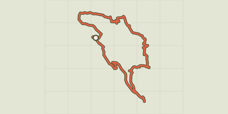
Key facts
- Distance
- 23.7 km
- Ascent
- +599 m
- Descent
- −518 m
- Estimated time
- 2 hr 05
- gravel
- Difficulty
- Easy
- official rating
- Route
- Loop
- back to the start
Profile and gradient
- under 10%
- 10 to 20%
- over 20%
Gradient along the route: 22.7 km under 10% and 1.0 km at 10 to 20%. Elevation from 783 m to 1,105 m over 23.7 km.
Description
A great spot for picnics and swimming: Chanteloube Bay and its submerged viaduct. This tour of Chorges is a pretty difficult blue Gravel route for a blue, which can be cut short if needed at the hamlet of Augiers. If you're feeling more sporty, there's also the "Les Belvédères de Serre-Ponçon" loop. This slope offers open views of Lake Serre-Ponçon and passes through numerous hamlets. - At Chorges station, head towards the Intermarché. Cross the railway line and turn left. At the crossroads, turn left again over the level crossing and follow the signs for Baie Saint-Michel. Before the main road, turn right towards Serre du Villard. /!\ Slow down to turn right under the railway bridge. - At Villard, head up the old track on the left. At the road turn right and then the first left towards Baie de Chanteloube. At the old station at Chanteloube, continue straight on for a round trip (picnic area at Chanteloube) - Returning to the old Chanteloube station, take the junction to the left and cross the bridge. At Chapelle St Jacques, turn left up the road. The road turns into a stony track. At Pralong, take the small road on the left. Then, after about 200 m, take the track on the right which climbs towards Baie Saint-Michel. - At Pré Long Haut, turn right up the E93 DFCI track towards Baie Saint-Michel. At Champ de Gorny, take the surfaced path on the left towards Baie Saint-Michel. At Mareisson, go straight on until you reach the track and take the path opposite towards Baie Saint-Michel. Stay along the railway until you reach the bridge. Cross the bridge to the left (SNCF track), then cross the road (N94) /!\. At the Les Bernards bus stop (cross), turn left. - 300m from the previous intersection, leave the road and take the path to the right and continue straight on. Turn left once back on the road, cross the hamlet of Les Augiers and then take the track on the right (you can make a quick return to Chorges by continuing straight ahead). At the D109 and D9 go up and then left towards Chorges. At the recycling point, take the small road on the right towards Les Bérards. At the sign for La Bonnigue (on the bend), turn left. Continue straight on the main track. - At the road, go left downhill towards Chorges. After crossing a small bridge, take the stony track to the right. After the farm, take the steep climb to the right, then continue on the track to the left. Cross the hamlet of Thomassons and turn left down the road. - At the bus stop (mirror) turn left and then immediately right. Continue straight ahead on the small road. Turn left at the road, then left at the business park. - At the roundabouts, take two right turns, following the signs for Gap and then the SNCF station to reach the finish line.
Difficulty
Official rating: easy, by Parc national des Écrins.
Getting there
Start: Chorges, Chorges (05).
Sources
- Track: Parc national des Écrins, Licence Ouverte 2.0, Licence Ouverte 2.0 (Etalab) (destination.ecrins-parcnational.fr/trek/996147-Boucle-47---Chanteloube). Time estimated by GPX Path with the Mac app rule, breaks not included.
- Official elevation gain: 599 m, Parc national des Écrins
Nearby tracks
 © OpenStreetMap, SRTM · OpenTopoMap (CC-BY-SA)
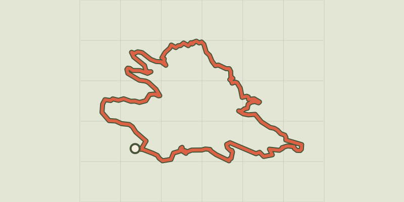
Loop 48 - The Lookouts of Serre-Ponçon
Provence-Alpes-Côte d'Azur, Chorges (05) · LoopOfficial rating by Parc national des Écrins © OpenStreetMap, SRTM · OpenTopoMap (CC-BY-SA)
Loop 49 - Clos Besson and Lake St Apollinaire
Écrins, Réallon (05) · LoopOfficial rating by Parc national des Écrins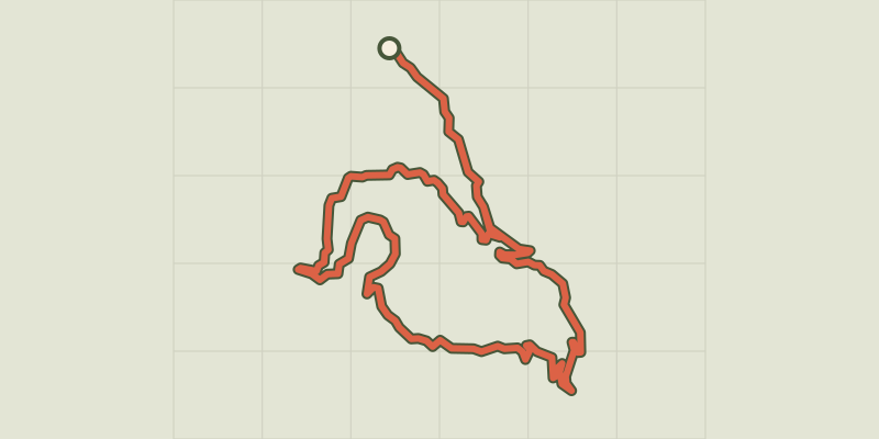 © OpenStreetMap, SRTM · OpenTopoMap (CC-BY-SA)
Loop 62 - Pierre Arnoux
Écrins, Savines-le-Lac (05) · LoopOfficial rating by Parc national des Écrins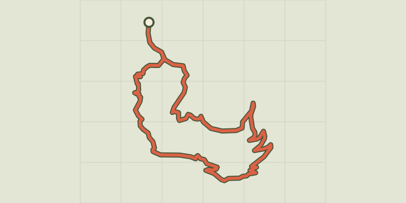 © OpenStreetMap, SRTM · OpenTopoMap (CC-BY-SA)
Loop 51 - Les Pins
Écrins, Puy-Saint-Eusèbe (05) · LoopOfficial rating by Parc national des Écrins © OpenStreetMap, SRTM · OpenTopoMap (CC-BY-SA)
Loop 50 - Les Puy
Écrins, Puy-Saint-Eusèbe (05) · LoopOfficial rating by Parc national des Écrins © OpenStreetMap, SRTM · OpenTopoMap (CC-BY-SA)
Les hauteurs de Crots
Écrins, Crots (05) · LoopOfficial rating by Parc national des Écrins