
Col du Morgonnet and Cabane du Jas
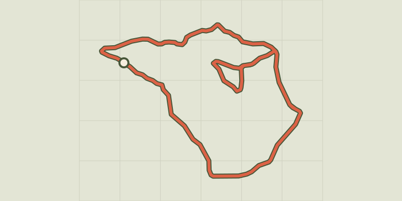
Key facts
- Distance
- 5.2 km
- Ascent
- +313 m
- Descent
- −296 m
- Estimated time
- 1 hr 50
- hiking
- Difficulty
- Easy
- official rating
- Route
- Loop
- back to the start
Profile and gradient
- under 10%
- 10 to 20%
- over 20%
Gradient along the route: 3.1 km under 10%, 0.9 km at 10 to 20% and 1.2 km over 20%. Elevation from 1,465 m to 1,738 m over 5.2 km.
Description
Between the rivers Durance and Ubaye to the foot of the Pic du Morgon, with a detour to the Cabane du Jas, this loop makes for a tranquil walk with plenty to discover. This loop alone offers numerous emblematic features of the Hautes-Alpes: old agricultural sites, a panoramic view over the whole of the Lac Serre-Ponçon, a number of wild animals and a unique larch specimen. Its mix of features is what makes this trail so rich. - From the car park, turn right and follow the track . - At the next intersection, carry straight on and stay on the left-hand track through the forest of larch, black pine and Scots pine. - At the picnic table, turn left and take the narrow path leading up through the forest. Stay on the left-hand path until you reach the summit: panoramic view of the territory of Serre-Ponçon. Follow the ridge and take the path on the left which brings you back to the picnic table. From here, take the north-facing ("Ubac") path, turning left, until you come to the Cabane du Jas, where freshness and shade await you. After a stop, continue straight ahead. - Follow the ridge down until you reach the pass. Turn left just before the Crête de la Coquille (which can be reached with an extra 20 minutes' walk) which brings you back to the car park.
Difficulty
Official rating: easy, by Parc national des Écrins.
Before you go
- Plan ahead and take sufficient water as there are no water points along the route.
Getting there
Start: Au dessus du lieu-dit « les Hugues », Pontis, Pontis (04).
Sources
- Track: Parc national des Écrins, Licence Ouverte 2.0, Licence Ouverte 2.0 (Etalab) (destination.ecrins-parcnational.fr/trek/974098-Le-Morgonnet-et-la-cabane-du-Jas). Time estimated by GPX Path with the Mac app rule, breaks not included.
- Official elevation gain: 313 m, Parc national des Écrins
Nearby tracks
 © OpenStreetMap, SRTM · OpenTopoMap (CC-BY-SA)
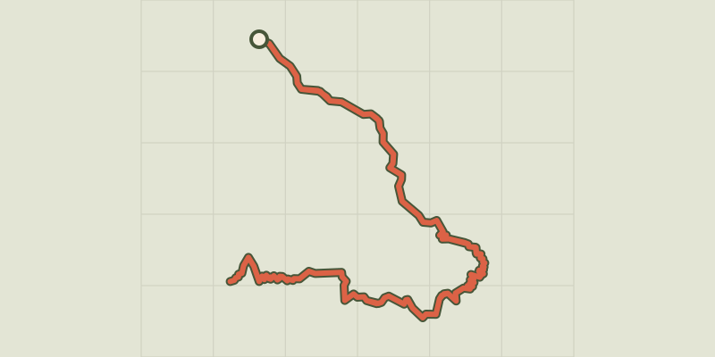
Le Pic de Morgon via Pierre Arnoux
Écrins, Savines-le-Lac (05) · Out and backOfficial rating by Parc national des Écrins © OpenStreetMap, SRTM · OpenTopoMap (CC-BY-SA)
Les Eygoires to Pierre Arnoux
Écrins, Savines-le-Lac (05) · LoopOfficial rating by Parc national des Écrins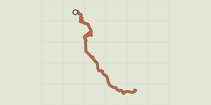 © OpenStreetMap, SRTM · OpenTopoMap (CC-BY-SA)
Port St-Pierre
Provence-Alpes-Côte d'Azur, Le Sauze-du-Lac (05) · Out and backOfficial rating by Parc national des Écrins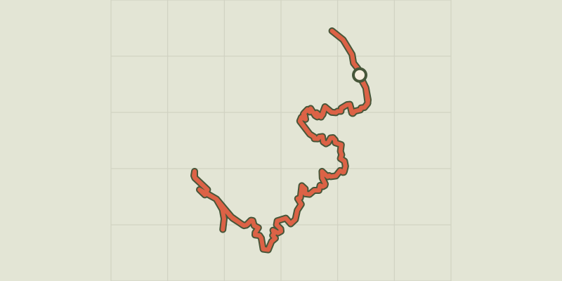 © OpenStreetMap, SRTM · OpenTopoMap (CC-BY-SA)
Sentier du bord de Lac - Lakeshore path
Provence-Alpes-Côte d'Azur, Chorges (05) · Out and backOfficial rating by Parc national des Écrins © OpenStreetMap, SRTM · OpenTopoMap (CC-BY-SA)
The Pic de Morgon
Écrins, Crots (05) · LoopOfficial rating by Parc national des Écrins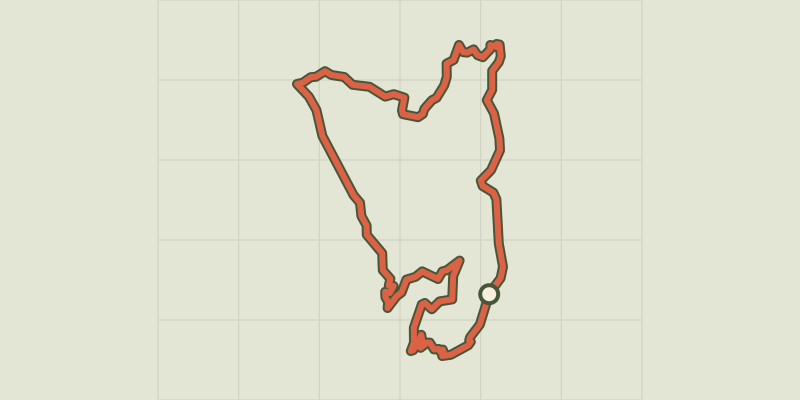 © OpenStreetMap, SRTM · OpenTopoMap (CC-BY-SA)
Le Serre du bois
Provence-Alpes-Côte d'Azur, Chorges (05) · LoopOfficial rating by Parc national des Écrins