
RANDOLAND : La Roche de Rame

Key facts
- Distance
- 2.4 km
- Ascent
- +94 m
- Descent
- −81 m
- Estimated time
- 40 min
- hiking
- Difficulty
- Very easy
- official rating
- Route
- Loop
- back to the start
Profile and gradient
- under 10%
- 10 to 20%
- over 20%
Gradient along the route: 1.6 km under 10%, 0.7 km at 10 to 20% and 0.1 km over 20%. Elevation from 943 m to 1,023 m over 2.4 km.
Description
Stroll around the charming village of La Roche-de-Rame, made up of several hamlets and its lake, which is very pleasant for swimming in summer. The village of La Roche-de-Rame has gone through several stages of development, first agricultural, then industrial at the end of the 20th century. Get the Randoland leaflet, available for purchase at the Tourist Office, to solve the riddles and observe elements of the local heritage. The walk starts from the town hall. Begin by observing this building in order to solve the first riddle. - With your back to the town hall, turn right, cross the small bridge, then immediately turn right to go in front of the old forge, a small fully restored stone building. - Go back the way you came, pass in front of the town hall, then turn left into Chemin de la Frairie. Enter the hamlet of Les Izoards and look for the house with a balcony at number 281. - After the bend, take the path that climbs to the right along the canal. Continue on this path until you reach the road. Cross it and continue straight ahead towards “Pra Reboul.” Always keep right at the two intersections. The path starts to go downhill and you will pass a strange bunker-like structure: a captured spring. Continue downhill towards the lake. At the junction of the paths, enjoy the view. - Do not take the fork on the right; continue straight on the path until you reach the intersection with the road. You will arrive at the parking area. Then head toward the lake and follow it on the left. - Pass in front of the lakeside chalet and turn immediately left. At the entrance to the lake campsite, follow the sign for “centre village.” Walk along the campsite, then at the junction turn right. Continue straight ahead to the next junction and turn left. Then turn right into Chemin de la Mairie. Take the first street on the right and stop at the fountain. - Continue on to the church. - Turn back, cross the village square with the war memorial. Carefully cross the Gap road (RN94) toward the Lucéo economic initiative center. Look for and observe the fire pump. - Feel free to take a walk through the park: a small herb garden is hidden near the back wall! Return to the square by crossing carefully again. Cross the square once more to go up the stairs alongside the shop. When you reach the road, continue straight ahead to return to your starting point. End of the walk.
Difficulty
Official rating: very easy, by Parc national des Écrins.
Before you go
- Before setting out on a hike, check the weather conditions. Be especially vigilant with children, particularly in non-pedestrian areas. The route is undertaken entirely at your own risk, and Randoland and the Tourist Office accept no responsibility in the event of an accident.
- Mountain rescue: 112
- Please respect the work of farmers, operators, and landowners.
- Close all gates behind you.
- Take all your rubbish with you.
- Do not cut across the route through the meadows.
Getting there
Start: Mairie La Roche de Rame, La Roche-de-Rame (05).
Sources
- Track: Parc national des Écrins, Licence Ouverte 2.0, Licence Ouverte 2.0 (Etalab) (destination.ecrins-parcnational.fr/trek/997888-RANDOLAND-%3A-La-Roche-de-Rame). Time estimated by GPX Path with the Mac app rule, breaks not included.
- Official elevation gain: 94 m, Parc national des Écrins
Nearby tracks

 © OpenStreetMap, SRTM · OpenTopoMap (CC-BY-SA)
THEMED PATH: The Serre-Duc Canal
Provence-Alpes-Côte d'Azur, La Roche-de-Rame (05) · LoopOfficial rating by Parc national des Écrins © OpenStreetMap, SRTM · OpenTopoMap (CC-BY-SA)
THEMED PATH: The precipice path
Écrins, Champcella (05) · LoopOfficial rating by Parc national des Écrins © OpenStreetMap, SRTM · OpenTopoMap (CC-BY-SA)
Le circuit de Clot Laffont
Écrins, Champcella (05) · LoopOfficial rating by Parc national des Écrins © OpenStreetMap, SRTM · OpenTopoMap (CC-BY-SA)
RANDOLAND : Champcella
Écrins, Champcella (05) · LoopOfficial rating by Parc national des Écrins © OpenStreetMap, SRTM · OpenTopoMap (CC-BY-SA)
Le sentier de Champaussel
Provence-Alpes-Côte d'Azur, La Roche-de-Rame (05) · LoopOfficial rating by Parc national des Écrins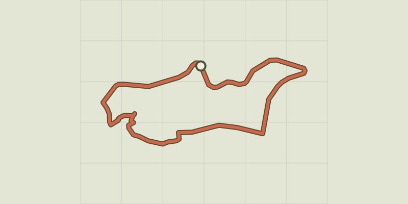 © OpenStreetMap, SRTM · OpenTopoMap (CC-BY-SA)
RANDOLAND: Freissinières
Écrins, Freissinières (05) · LoopOfficial rating by Parc national des Écrins