
Vallon de Muretier

Key facts
- Distance
- 11.3 km
- Ascent
- +703 m
- Descent
- −692 m
- Estimated time
- 4 hr 15
- hiking
- Difficulty
- Moderate
- official rating
- Route
- Out and back
- same way back
Profile and gradient
- under 10%
- 10 to 20%
- over 20%
Gradient along the route: 4.0 km under 10%, 6.8 km at 10 to 20% and 0.6 km over 20%. Elevation from 1,660 m to 2,354 m over 11.3 km.
Description
Well off the beaten track, come and discover a wild valley where wildlife is everywhere. A hike that takes you through a wild valley surrounded by a crown of snow-capped peaks until early summer. Only the whistling of the marmots breaks the silence and reminds you that you are guests in the home of wildlife. The chamois, for their part, seem to defy gravity and gaze down at you from the slopes of Pouzenc or Pic Silhourais. - Start from Pra Paisset car park. Follow the forest track at the end of the car park. Continue straight ahead past the Gautier sheepfold, then cross the stream. Go straight on at the via ferrata sign after 1.8km. - Take the path at the end of the right level with the flat ground of Pré Lapierre. Here the slope starts to steepen. Turn left at the Cime de Lapierre sign after 2.6 km. Continue straight ahead at the Rocher Long sign, staying on a wide, fairly steep path shaded by larch trees. - Go left 150m after the Jerusalem sign to follow a narrower, sloping path. (You can make a diversion via the Jerusalem springs by turning right). Follow a narrow path that winds through the forest. The slope becomes gentler once you reach the valley. Then follow the track at the bottom of the valley through various scree slopes. Make a U-turn under the Col du Pouzenc when the slope steepens considerably. Finally, return by the same route.
Difficulty
Official rating: moderate, by Parc national des Écrins.
Getting there
Start: Pré Claux, Les Orres 1800, Les Orres (05).
Sources
- Track: Parc national des Écrins, Licence Ouverte 2.0, Licence Ouverte 2.0 (Etalab) (destination.ecrins-parcnational.fr/trek/990877-Vallon-de-Muretier). Time estimated by GPX Path with the Mac app rule, breaks not included.
- Official elevation gain: 703 m, Parc national des Écrins
Nearby tracks

 © OpenStreetMap, SRTM · OpenTopoMap (CC-BY-SA)
Sources de Jérusalem (Jerusalem Springs)
Provence-Alpes-Côte d'Azur, Les Orres (05) · LoopOfficial rating by Parc national des Écrins © OpenStreetMap, SRTM · OpenTopoMap (CC-BY-SA)
Lake Sainte Marguerite
Provence-Alpes-Côte d'Azur, Les Orres (05) · LoopOfficial rating by Parc national des Écrins © OpenStreetMap, SRTM · OpenTopoMap (CC-BY-SA)
The Grand Pastre
Provence-Alpes-Côte d'Azur, Les Orres (05) · LoopOfficial rating by Parc national des Écrins © OpenStreetMap, SRTM · OpenTopoMap (CC-BY-SA)
Col des Orres
Provence-Alpes-Côte d'Azur, Les Orres (05) · Out and backOfficial rating by Parc national des Écrins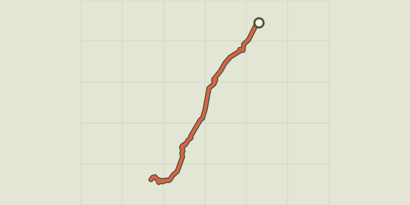 © OpenStreetMap, SRTM · OpenTopoMap (CC-BY-SA)
l'Aupillon
Provence-Alpes-Côte d'Azur, Les Orres (05) · Out and backOfficial rating by Parc national des Écrins © OpenStreetMap, SRTM · OpenTopoMap (CC-BY-SA)
Le Méale
Provence-Alpes-Côte d'Azur, Saint-Sauveur (05) · LoopOfficial rating by Parc national des Écrins