
Le Méale

Key facts
- Distance
- 10.4 km
- Ascent
- +782 m
- Descent
- −746 m
- Estimated time
- 4 hr 20
- hiking
- Difficulty
- Moderate
- official rating
- Route
- Loop
- back to the start
Profile and gradient
- under 10%
- 10 to 20%
- over 20%
Gradient along the route: 0.5 km under 10%, 9.3 km at 10 to 20% and 0.5 km over 20%. Elevation from 1,672 m to 2,405 m over 10.4 km.
Description
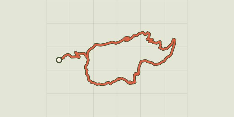
This trai has unmistakenly taken its name from the belvedere overlooking several valleys and mountains in the territory of Serre-Ponçon. Climb up to the peak of St-Sauveur, called Le Méale. At 2,426 metres above sea level, the 360° view will leave you speechless! To get there, you start out gently through the forest of Le Méale and pass through the state-owned forest of Pouzenc. From here, you have a beautiful climb ahead of you, through flower-filled areas. You cannot fail to be moved by this adventure, with unique vantage points over the valleys of Crévoux, Les Orres and the Durance. From the car park, turn left onto the road. At the bend, take the track on the left towards the path to Le Méale ("Sentier du Méale"). At the next intersection, stay on the uphill track. Go past the three channelled springs and head towards Les Orres. Enter the state-owned forest of Pouzenc. - After a few hundred metres, when you come to some stones and a gate, take the path on the left (sign with a white arrow). At the crossroads, follow signs for Crévoux. When you come to the track, go right towards Le Méale and follow the track running uphill. At the hamlet of Le Serre, turn left. - Finally, at the place called « Croix-Pierre », turn left. Follow the path right and this brings you to the top of Le Méale. From here, loop around to the crossroads at the place called « Croix de Serre ». Join the path on the right which brings you back to « Crête du Méale ». At the sign, turn left. At the « Piste de la Plâtrière », head towards the forest car park. On the way, turn right. In Les Clotasses, take the path on the left leading to the car park. - When you come to the picnic tables, take the path on the left. At « La combe Noire » ,head to Les Gaillards following the GRP (regional long-distance trail) route.
Difficulty
Official rating: moderate, by Parc national des Écrins.
Before you go
- This route leads through areas exposed to the sun: hats and water bottles are recommended.
Getting there
Start: Parking de la Forêt, St Sauveur (accès par le chef-lieu des Orres. Attention parking non accessible en période hivernale).), Saint-Sauveur (05).
Sources
- Track: Parc national des Écrins, Licence Ouverte 2.0, Licence Ouverte 2.0 (Etalab) (destination.ecrins-parcnational.fr/trek/974239-Le-Meale). Time estimated by GPX Path with the Mac app rule, breaks not included.
- Official elevation gain: 782 m, Parc national des Écrins
Nearby tracks
 © OpenStreetMap, SRTM · OpenTopoMap (CC-BY-SA)
Le Clot de l'Aigue
Provence-Alpes-Côte d'Azur, Saint-Sauveur (05) · LoopOfficial rating by Parc national des Écrins © OpenStreetMap, SRTM · OpenTopoMap (CC-BY-SA)
[Sens Action] - The thousand waterfalls
Provence-Alpes-Côte d'Azur, Baratier (05) · LoopOfficial rating by Parc national des Écrins © OpenStreetMap, SRTM · OpenTopoMap (CC-BY-SA)
The Grand Pastre
Provence-Alpes-Côte d'Azur, Les Orres (05) · LoopOfficial rating by Parc national des Écrins © OpenStreetMap, SRTM · OpenTopoMap (CC-BY-SA)
La Mûre loop
Provence-Alpes-Côte d'Azur, Baratier (05) · LoopOfficial rating by Parc national des Écrins © OpenStreetMap, SRTM · OpenTopoMap (CC-BY-SA)
Plat Aiguille loop
Provence-Alpes-Côte d'Azur, Baratier (05) · LoopOfficial rating by Parc national des Écrins © OpenStreetMap, SRTM · OpenTopoMap (CC-BY-SA)
The Vurbaye loop
Provence-Alpes-Côte d'Azur, Baratier (05) · LoopOfficial rating by Parc national des Écrins