
Bois de Jalavez on mountain bike

Key facts
- Distance
- 13.3 km
- Ascent
- +482 m
- Descent
- −380 m
- Estimated time
- 1 hr 45
- mtb
- Difficulty
- Easy
- official rating
- Route
- Loop
- back to the start
Profile and gradient
- under 10%
- 10 to 20%
- over 20%
Gradient along the route: 11.0 km under 10% and 2.3 km at 10 to 20%. Elevation from 1,638 m to 1,952 m over 13.3 km.
Description
Let's wander in the forest... A family trail on a forest track. A steady rise in a coniferous forest, fresh and airy overlook the village and offers a beautiful view of the waterfall of Pisse. The descent is without difficulty, it follows a riverside in a more open terrain. From the parking lot, go back to the village, leave 2 bridges on the left before crossing the 3rd. 1 - Turn right and go up the road along the Cristillan stream. Cross the first bridge and quickly reach the second one, the Villard bridge (1 770m). 2 - Do not cross it but take the forest road to the right just before. Follow the track a bit steep at first and then a rising false flat, before continuing on level and then downhill. 3 - Join the Charanchettes Point (1 885m) and turn right towards the Cime du Mélezet, a short single track that reaches to a road. Turn right on the road and immediately left at the end of the hamlet. Reach the stream of Mélezet, cross it and turn right. Reach the GR5 after the waterfall of Pisse. Follow it to Ceillac.
Difficulty
Official rating: easy, by Parcs naturels régionaux de Provence-Alpes-Côte d'Azur.
Getting there
Start: Parking face au restaurant L'Etape gourmande, Ceillac, Ceillac (05).
Sources
- Track: Parcs naturels régionaux de Provence-Alpes-Côte d'Azur (Chemins des Parcs), Licence Ouverte 2.0, Licence Ouverte 2.0 (Etalab) (www.cheminsdesparcs.fr/trek/27037-CEILLAC---Bois-de-Jalavez-a-VTT). Time estimated by GPX Path with the Mac app rule, breaks not included.
- Official elevation gain: 482 m, Parcs naturels régionaux de Provence-Alpes-Côte d'Azur
Nearby tracks

 © OpenStreetMap, SRTM · OpenTopoMap (CC-BY-SA)
The Canal de Pierre Dimanche by mountain bike
Queyras, Molines-en-Queyras (05) · LoopOfficial rating by Parcs naturels régionaux de Provence-Alpes-Côte d'Azur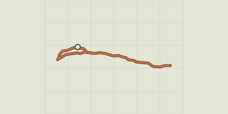 © OpenStreetMap, SRTM · OpenTopoMap (CC-BY-SA)
The Ariane on mountain bike
Queyras, Molines-en-Queyras (05) · Out and backOfficial rating by Parcs naturels régionaux de Provence-Alpes-Côte d'Azur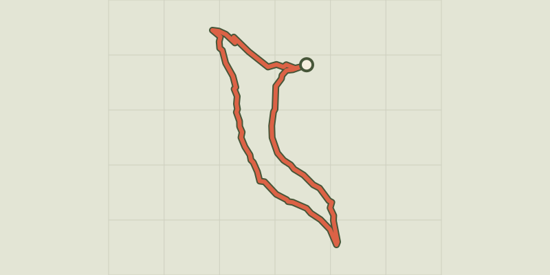 © OpenStreetMap, SRTM · OpenTopoMap (CC-BY-SA)
Les Amoureux by mountain bike
Queyras, Molines-en-Queyras (05) · LoopOfficial rating by Parcs naturels régionaux de Provence-Alpes-Côte d'Azur © OpenStreetMap, SRTM · OpenTopoMap (CC-BY-SA)
Sommet Bucher on mountain bike
Queyras, Château-Ville-Vieille (05) · LoopOfficial rating by Parcs naturels régionaux de Provence-Alpes-Côte d'Azur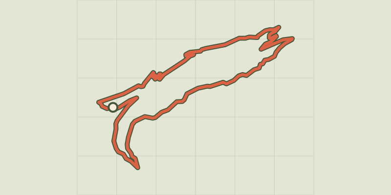 © OpenStreetMap, SRTM · OpenTopoMap (CC-BY-SA)
Marassan - la Bleue on mountain bike
Queyras, Aiguilles (05) · LoopOfficial rating by Parcs naturels régionaux de Provence-Alpes-Côte d'Azur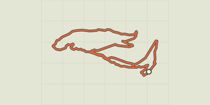 © OpenStreetMap, SRTM · OpenTopoMap (CC-BY-SA)
The Tirail on mountain bike
Queyras, Abriès-Ristolas (05) · LoopOfficial rating by Parcs naturels régionaux de Provence-Alpes-Côte d'Azur