
La Colle (hill)

Key facts
- Distance
- 14.6 km
- Ascent
- +423 m
- Descent
- −416 m
- Estimated time
- 4 hr 10
- hiking
- Difficulty
- Moderate
- official rating
- Route
- Loop
- back to the start
Profile and gradient
- under 10%
- 10 to 20%
- over 20%
Gradient along the route: 12.1 km under 10%, 2.2 km at 10 to 20% and 0.4 km over 20%. Elevation from 526 m to 929 m over 14.6 km.
Description
The climb to La Colle hill has beautiful and diverse viewpoints in all seasons and generates as many different atmospheres. This walk from the village, lets you climb the hill of La Colle to enjoy the scenery, views of Lake St. Croix, Mont Ventoux, the Grand Margés, the hills of the Haut Var, but also to explore the forest and multiple trails left by mankind and by its rural activities. Have an eye for... When you get back, go for a stroll through the narrow streets of Régusse and discover all the charm of a village of Haute Provence. Leaving the car park, turn right and head down the main street for about 120m, turn left on the Rue de la Paix. Go straight until the D30 road, cross it and take the Rue Pasteur across. Pass the St-Roch oratory. Go along the walls of the Faïsses (cultivated terraces), having crossed the Chemin des Paouves and the Chemin du Bas des Faïsses, continue straight on the paved road of Chemin de Régusse in Bauduen. 500m, cross the road and enter a dirt road in the communal forest of Régusse. Regain through the path, bordered by a dry stone wall, a crossroads 300m further. Take the right track and follow a narrow path starting left in the woods (yellow markings). Reach a dirt road. Turn left to the P50 track of "Puits de Riquier". Follow it for 1km until the D9 road. 1 - Continue on the track across from the "Puits de Riquier" track. 200m further, leave to the right the L7 track, and continue towards La Colle hill. At the next crossroads 1km further, leave the main trail and follow the path to the right. Leave behind another path on the right and continue up to the summit of La Colle hill. At 1km, the route meets a track in a curve. Follow the marked path on the right. Go up the valley, and pass at the foot of former coal burners (flat land with very dark dirt) and at the well of Verin. The end of the climb is steep. Reach the ridge, then the highest point of the hike (932m). 2- Exit the wood by the trail and descend through the hill to the slopes of the "Puits de Verin" and "la Ferme de Bondil" tracks. Continue straight. Pass the ruins of the Clau Farm and reach the D9 road down below. 3- Turn left, then take the first right. Pass the horse farm of the Puits de Riquier, go straight and 1km further, cross the track called "Piste des quatre chemins". Reach the Chemin de Régusse in Bauduen followed to go. Head back to the village by the same route.
Difficulty
Official rating: moderate, by Parcs naturels régionaux de Provence-Alpes-Côte d'Azur.
Before you go
- Avoid high summer temperatures, leave early. We recommend: 3L of water per person, a hat and proper hiking shoes. In summer time, find out whether the forests are open to the public (fire risk) by calling 04 89 96 43 43 (answering machine of the Direction Départementale des Territoires et de la Mer) or by visiting the website of the Prefecture by clicking the tab "For more information" below.
Getting there
Start: Office de tourisme, Régusse, Régusse (83).
Sources
- Track: Parcs naturels régionaux de Provence-Alpes-Côte d'Azur (Chemins des Parcs), Licence Ouverte 2.0, Licence Ouverte 2.0 (Etalab) (www.cheminsdesparcs.fr/trek/54339-REGUSSE---La-Colle). Time estimated by GPX Path with the Mac app rule, breaks not included.
- Official elevation gain: 423 m, Parcs naturels régionaux de Provence-Alpes-Côte d'Azur
Nearby tracks

 © OpenStreetMap, SRTM · OpenTopoMap (CC-BY-SA)
The Pelenc forest from Régusse
Verdon, Régusse (83) · LoopOfficial rating by Parcs naturels régionaux de Provence-Alpes-Côte d'Azur © OpenStreetMap, SRTM · OpenTopoMap (CC-BY-SA)
The Pelenc forest from Moissac Bellevue
Verdon, Moissac-Bellevue (83) · LoopOfficial rating by Parcs naturels régionaux de Provence-Alpes-Côte d'Azur © OpenStreetMap, SRTM · OpenTopoMap (CC-BY-SA)
The Plain (forest)
Verdon, Moissac-Bellevue (83) · LoopOfficial rating by Parcs naturels régionaux de Provence-Alpes-Côte d'Azur © OpenStreetMap, SRTM · OpenTopoMap (CC-BY-SA)
The Notre-Dame de Liesse Chapel
Verdon, Aups (83) · LoopOfficial rating by Parcs naturels régionaux de Provence-Alpes-Côte d'Azur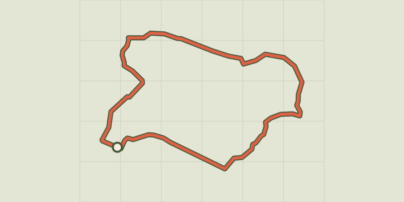 © OpenStreetMap, SRTM · OpenTopoMap (CC-BY-SA)
The cave path
Verdon, Aups (83) · LoopOfficial rating by Parcs naturels régionaux de Provence-Alpes-Côte d'Azur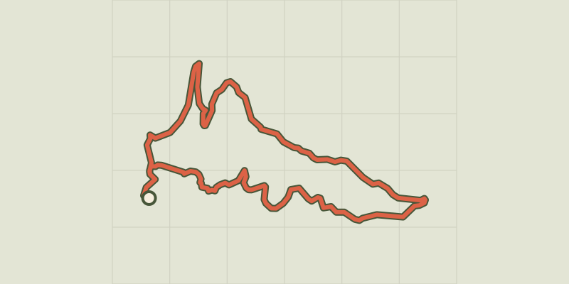 © OpenStreetMap, SRTM · OpenTopoMap (CC-BY-SA)
La Croix des Pins
Verdon, Aups (83) · LoopOfficial rating by Parcs naturels régionaux de Provence-Alpes-Côte d'Azur