
Florac: a spring in the town

Key facts
- Distance
- 2.4 km
- Ascent
- +72 m
- Descent
- −42 m
- Estimated time
- 35 min
- hiking
- Difficulty
- Very easy
- official rating
- Route
- Loop
- back to the start
Profile and gradient
- under 10%
- 10 to 20%
- over 20%
Gradient along the route: 2.0 km under 10% and 0.4 km at 10 to 20%. Elevation from 543 m to 578 m over 2.4 km.
Description
From lanes to little squares, this walk crosses the town of Florac to reach a beautiful grass amphitheatre near the spring of the river Pesquié (Pêcher). This short walk explores the old parts of Florac, a small town built at the junction of four streams (Vibron, Tarnon, Mimente, Tarn) and several historical traffic axes: a draille (drovers' road for taking livestock to summer mountain pastures) and Royal roads linking Languedoc and the Auvergne. Upstream from the town, the spring of the Pêcher mysteriously gushes out of a big mass of fallen rocks from the Causse Méjean.
Difficulty
Official rating: very easy, by Parc national des Cévennes.
Getting there
Start: Maison du tourisme et du Parc, Florac Trois Rivières (48).
Sources
- Track: Parc national des Cévennes, Licence Ouverte 1.0, Licence Ouverte 1.0 (Etalab) (destination.cevennes-parcnational.fr/trek/37884-Florac%2C-une-source-dans-la-ville). Time estimated by GPX Path with the Mac app rule, breaks not included.
- Official elevation gain: 72 m, Parc national des Cévennes
Nearby tracks

 © OpenStreetMap, SRTM · OpenTopoMap (CC-BY-SA)
Discovering the Upper Cévennes
Cévennes, Florac Trois Rivières (48) · Point to pointOfficial rating by Parc national des Cévennes © OpenStreetMap, SRTM · OpenTopoMap (CC-BY-SA)
Voie verte - Florac à Saint-Julien-d'Arpaon
Cévennes, Florac Trois Rivières (48) · Out and backOfficial rating by Parc national des Cévennes © OpenStreetMap, SRTM · OpenTopoMap (CC-BY-SA)
The clifftops
Cévennes, Florac Trois Rivières (48) · LoopOfficial rating by Parc national des Cévennes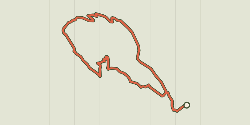 © OpenStreetMap, SRTM · OpenTopoMap (CC-BY-SA)
Gralhon
Cévennes, Florac Trois Rivières (48) · LoopOfficial rating by Parc national des Cévennes © OpenStreetMap, SRTM · OpenTopoMap (CC-BY-SA)
Variante courte des couronnes par Grimoald
Cévennes, Florac Trois Rivières (48) · LoopOfficial rating by Parc national des Cévennes © OpenStreetMap, SRTM · OpenTopoMap (CC-BY-SA)
Puecheral
Cévennes, Florac Trois Rivières (48) · LoopOfficial rating by Parc national des Cévennes