
O Roquedols, my Roquedols!
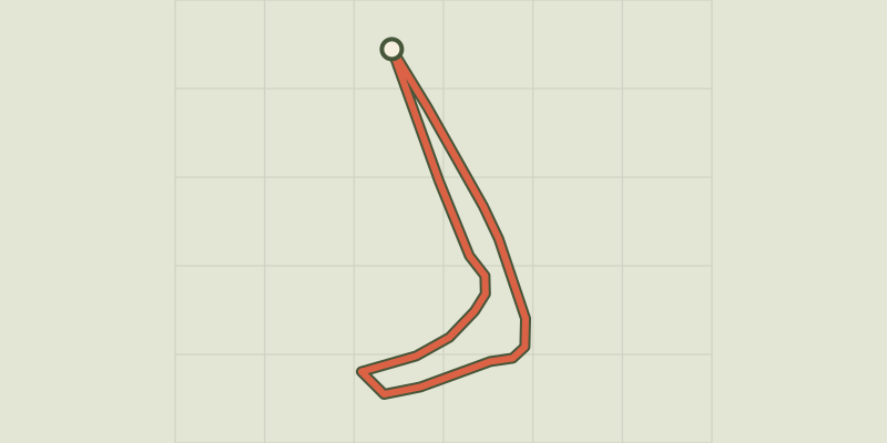
Key facts
- Distance
- 1.1 km
- Ascent
- +16 m
- Descent
- −13 m
- Estimated time
- 15 min
- hiking
- Difficulty
- Very easy
- official rating
- Route
- Loop
- back to the start
Profile and gradient
- under 10%
- 10 to 20%
- over 20%
Gradient along the route: 1.1 km under 10%. Elevation from 750 m to 765 m over 1.1 km.
Description
This family walk lets you explore the Roquedols Estate with its château, dovecote and forest. The site's charm will work on both young and old! This walk around the Roquedols Estate has a dreamlike quality: you will be charmed by the scents of the forest, the sound of the stream, and the château. But if you are attentive you will see that this enchanting environment was fashioned by men and women according to their wishes and needs. The walk starts with a very gentle slope in the forest, to the pigeon-loft. It then follows a former béal (irrigation channel) to reach the château and gardens.
Difficulty
Official rating: very easy, by Parc national des Cévennes.
Before you go
- Horse-riding or mountain-biking are not allowed on or adapted to discovery trails.
Getting there
Start: Parking, Meyrueis (48).
Sources
- Track: Parc national des Cévennes, Licence Ouverte 1.0, Licence Ouverte 1.0 (Etalab) (destination.cevennes-parcnational.fr/trek/37333-O-domaine-de-Roquedols-!). Time estimated by GPX Path with the Mac app rule, breaks not included.
- Official elevation gain: 16 m, Parc national des Cévennes
Nearby tracks

 © OpenStreetMap, SRTM · OpenTopoMap (CC-BY-SA)
Pauparelle
Cévennes, Meyrueis (48) · LoopOfficial rating by Parc national des Cévennes © OpenStreetMap, SRTM · OpenTopoMap (CC-BY-SA)
From Meyrueis to the summit of Mont Aigoual.
Cévennes, Meyrueis (48) · Point to pointOfficial rating by Parc national des Cévennes © OpenStreetMap, SRTM · OpenTopoMap (CC-BY-SA)
The streams walk
Cévennes, Meyrueis (48) · LoopOfficial rating by Parc national des Cévennes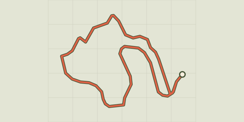 © OpenStreetMap, SRTM · OpenTopoMap (CC-BY-SA)
Arborétum de La Foux
Cévennes, Lanuéjols (30) · LoopOfficial rating by Parc national des Cévennes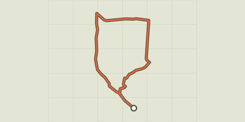 © OpenStreetMap, SRTM · OpenTopoMap (CC-BY-SA)
Three Bishops’ Cross trail
Cévennes, Lanuéjols (30) · LoopOfficial rating by Parc national des Cévennes © OpenStreetMap, SRTM · OpenTopoMap (CC-BY-SA)
Saint Sauveur des Pourcils
Cévennes, Saint-Sauveur-Camprieu (30) · LoopOfficial rating by Parc national des Cévennes